Currently, the water level in the upper and middle reaches of Vu Gia - Thu Bon River is slowly decreasing, the lower reaches are rising, and Tam Ky River is rising. The water level at 6:00 a.m. on October 30 on the rivers is as follows: Vu Gia River at Hoi Khach is at: 15.69m below BĐ3 0.81m, at Ai Nghia is at: 9.88m above BĐ3 0.88m.
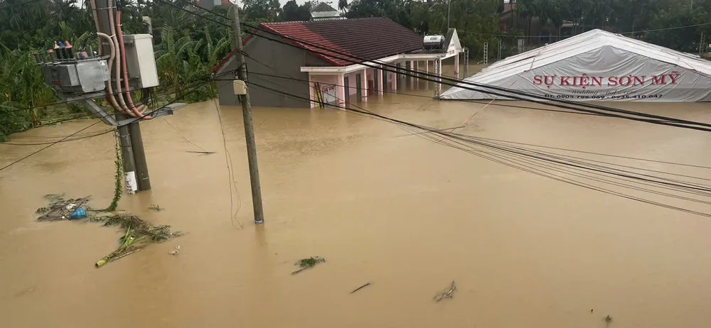
Thu Bon River at Nong Son is at 16.71m above BĐ3 1.71m, at Giao Thuy is at 9.48m above BĐ3 0.68m, at Cau Lau is at 5.54m above BĐ3 1.54m, at Hoi An is at: 3.35m above BĐ3: 1.35m
Han River at Cam Le is at: 3.24m above BĐ3 0.74m, Tam Ky River at Tam Ky is at: 2.74m above BĐ3: 0.04m.
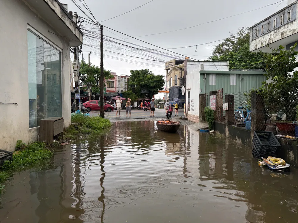
It is forecasted that in the next 6 to 12 hours, the flood on the upper Vu Gia - Thu Bon River will continue to slowly recede, the lower river will peak and recede slowly. The Tam Ky River will peak and recede slowly.
The flood peak on Thu Bon River at Cau Lau reached 5.65 - 5.7m on BĐ3 1.65 - 1.7, 0.17 - 0.22m higher than in 1964, at Hoi An it reached 3.45 - 3.5m on BĐ3 1.45 - 1.5m, 0.05 - 0.1m higher than the flood in 1964, Han River at Cam Le reached 3.4m on BĐ3 0.9m, Tam Ky River was above BĐ3.
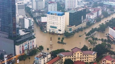
According to records, in Dien Ban ward ( Da Nang city), flood water has been rising slowly since dawn. The water level has risen too high, many people have placed their belongings very high but are still submerged by flood water.
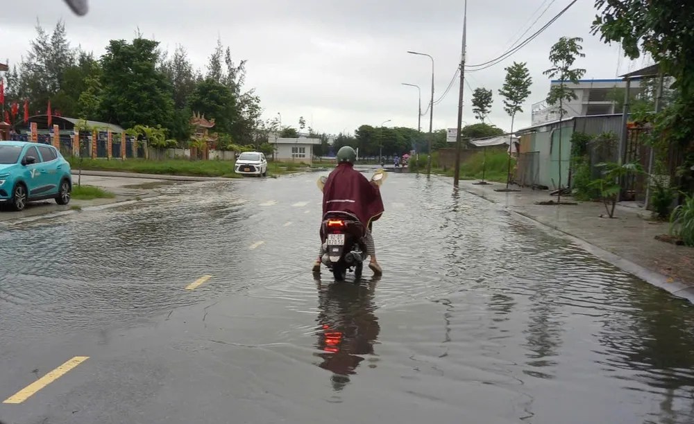
In Dien Ban Dong ward, although the DT607 route passing through the area is very high, the flood water has risen to the roadside. The heavy flood water also submerged the side gate of Dien Nam - Dien Ngoc Industrial Park located in the ward, forcing many workers to turn around and find another direction because they could not cross the deep water.
Source: https://www.sggp.org.vn/lu-vung-vu-gia-thu-bon-dang-xuong-cham-ha-luu-dang-len-post820708.html


![[Photo] Standing member of the Secretariat Tran Cam Tu visits and encourages people in the flooded areas of Da Nang](https://vphoto.vietnam.vn/thumb/1200x675/vietnam/resource/IMAGE/2025/10/30/1761808671991_bt4-jpg.webp)
![[Photo] Fall Fair 2025 - An attractive experience](https://vphoto.vietnam.vn/thumb/1200x675/vietnam/resource/IMAGE/2025/10/30/1761791564603_1761738410688-jpg.webp)








![[Photo] New-era Party members in the "Green Industrial Park"](https://vphoto.vietnam.vn/thumb/1200x675/vietnam/resource/IMAGE/2025/10/30/1761789456888_1-dsc-5556-jpg.webp)














Comment (0)