
Ba Ria - Vung Tau province is oriented to organize 4 functional areas: industry - seaport, tourism - urban, agriculture and ecological balance, sea - island.
The planning of Ba Ria - Vung Tau province for the period 2021-2030, with a vision to 2050, was approved by Deputy Prime Minister Tran Hong Ha on December 16. The planning scope includes the entire natural area of more than 1,982 km2, with two cities, one town and five districts.
Accordingly, the province will organize socio -economic activities according to 4 functional areas, including 3 on land and one sea and island area. Specifically, the industrial - seaport area includes the entire Phu My town, Ba Ria city, part of Chau Duc district and Vung Tau city.
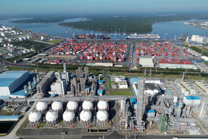
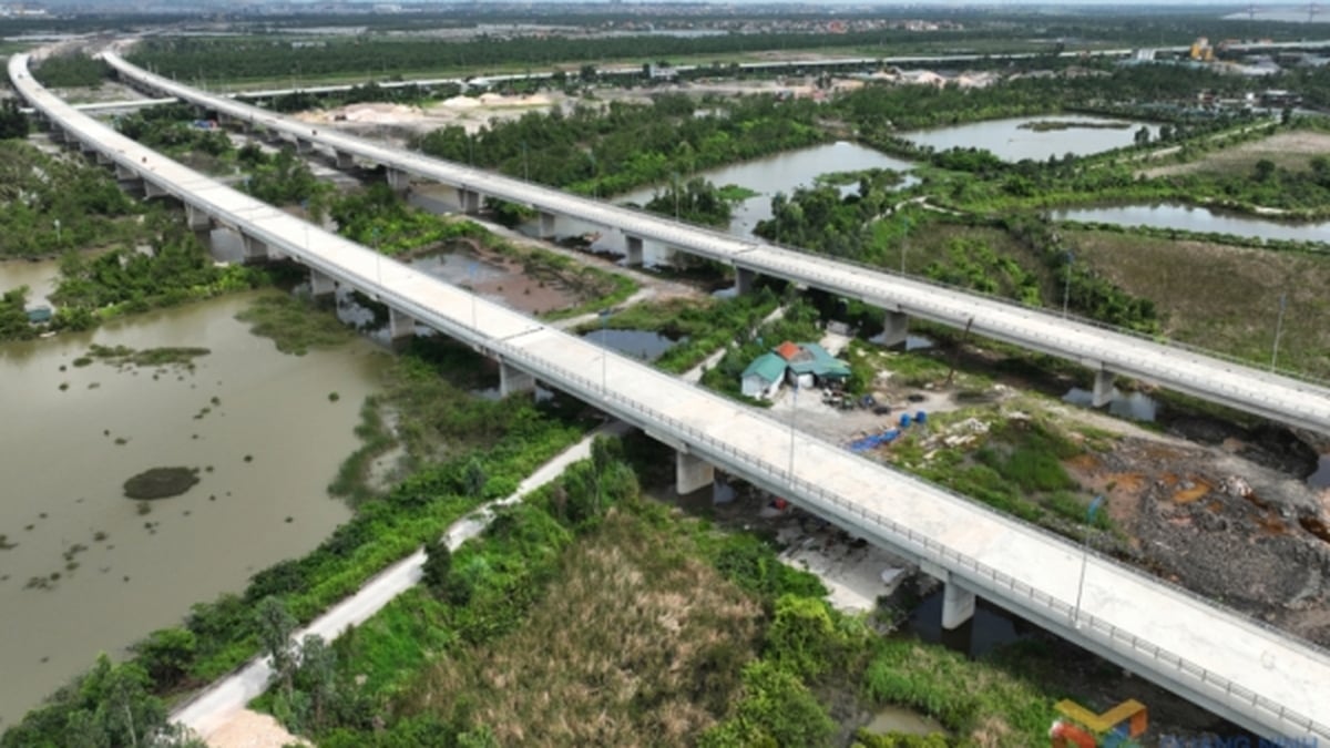
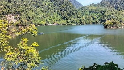
Along the Cai Mep - Thi Vai port system, many industrial parks have been formed to attract large investment projects. Photo: Truong Ha
The tourist area and coastal urban area are located along National Highway 55 and southeast of National Highway 51 to the coastal area along Provincial Road DT994 in Vung Tau City, Long Dien, Dat Do, and Xuyen Moc districts.
The agricultural and ecological balance area is located in the north and northeast of the province, in Dat Do, Xuyen Moc and Chau Duc districts; the sea and island functional area, in which Con Dao is developed into a high-quality sea and island eco-tourism area, of regional and international standards; and is a special national historical relic conservation area.
The planning also orients the locality to develop the industrial economic axis - Cai Mep - Thi Vai seaport associated with the inter-port traffic system and National Highway 51. A free trade zone will be formed here along with the seaport system in Cai Mep Ha area with the main function of an international deep-water transit port, industrial park and large logistics center. Investing in national key industrial projects in Long Son area, Vung Tau city and Cai Mep, Phu My town.
Along Bien Hoa - Vung Tau Expressway and Ho Chi Minh City Ring Road 4, a dynamic economic axis of industry - logistics will be formed; large-scale industrial - service - urban complexes will be developed in Phu My new city; high-tech industrial parks and new service urban areas will be formed in Cu Bi and Suoi Nghe (Chau Duc district); logistics zones along Ring Road 4; provincial logistics centers in Chau Duc district.
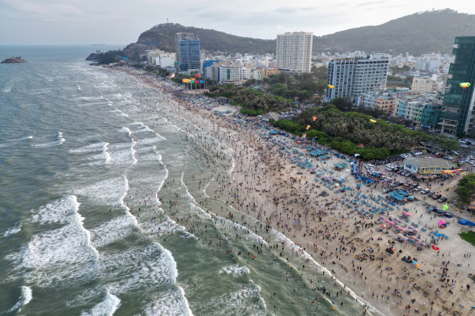
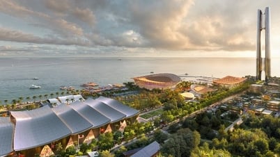
A corner of Vung Tau beach from above. Photo: Truong Ha
Coastal tourism along Provincial Road DT994 and the road connecting to Bien Hoa - Vung Tau Expressway will also be an economic axis with the coastal urban tourism system of Vung Tau, Long Hai, Phuoc Hai, Ho Tram, Binh Chau; forming complex tourist areas exploiting marine and forest resources; developing a chain of high-quality resort, sports and entertainment tourism products.
The plan aims to comprehensively develop Ba Ria - Vung Tau into one of the important driving forces of the Southeast region, a national marine economic center, maintaining its position in the top 10 localities with the highest GRDP and total budget revenue in the country. By 2030, the locality will basically meet the standards of a centrally-governed city. GRDP (excluding oil and gas) will grow by an average of 8.1-8.6% per year.
By 2050, Ba Ria - Vung Tau will be the national maritime economic center; the maritime service center of Southeast Asia; a high-quality international tourism center and also one of the major industrial centers of the Southeast region.
Ba Ria - Vung Tau has a population of over 1.1 million people (2021). The province is located in the Southern key economic zone, at the gateway to the East Sea of localities in the Southeast region. In 2023, the local GRDP (excluding oil and gas) will reach 5.75%.
Truong Ha
Source link


![[Maritime News] More than 80% of global container shipping capacity is in the hands of MSC and major shipping alliances](https://vphoto.vietnam.vn/thumb/402x226/vietnam/resource/IMAGE/2025/7/16/6b4d586c984b4cbf8c5680352b9eaeb0)


Comment (0)