
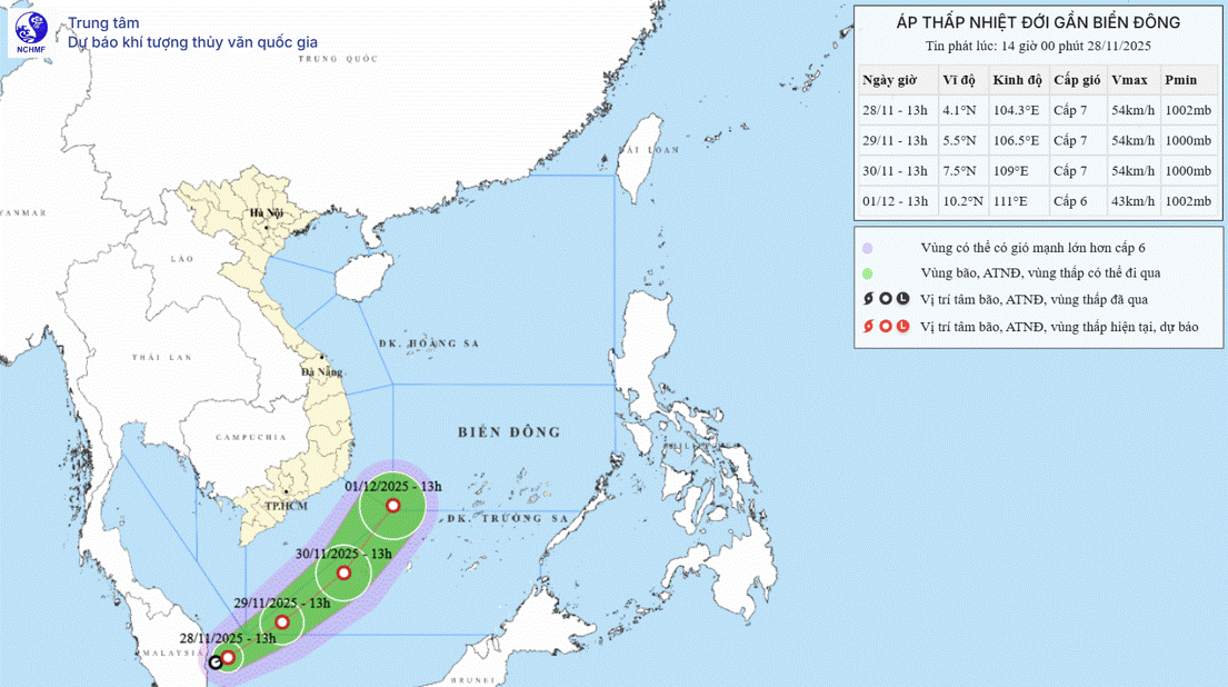
 |
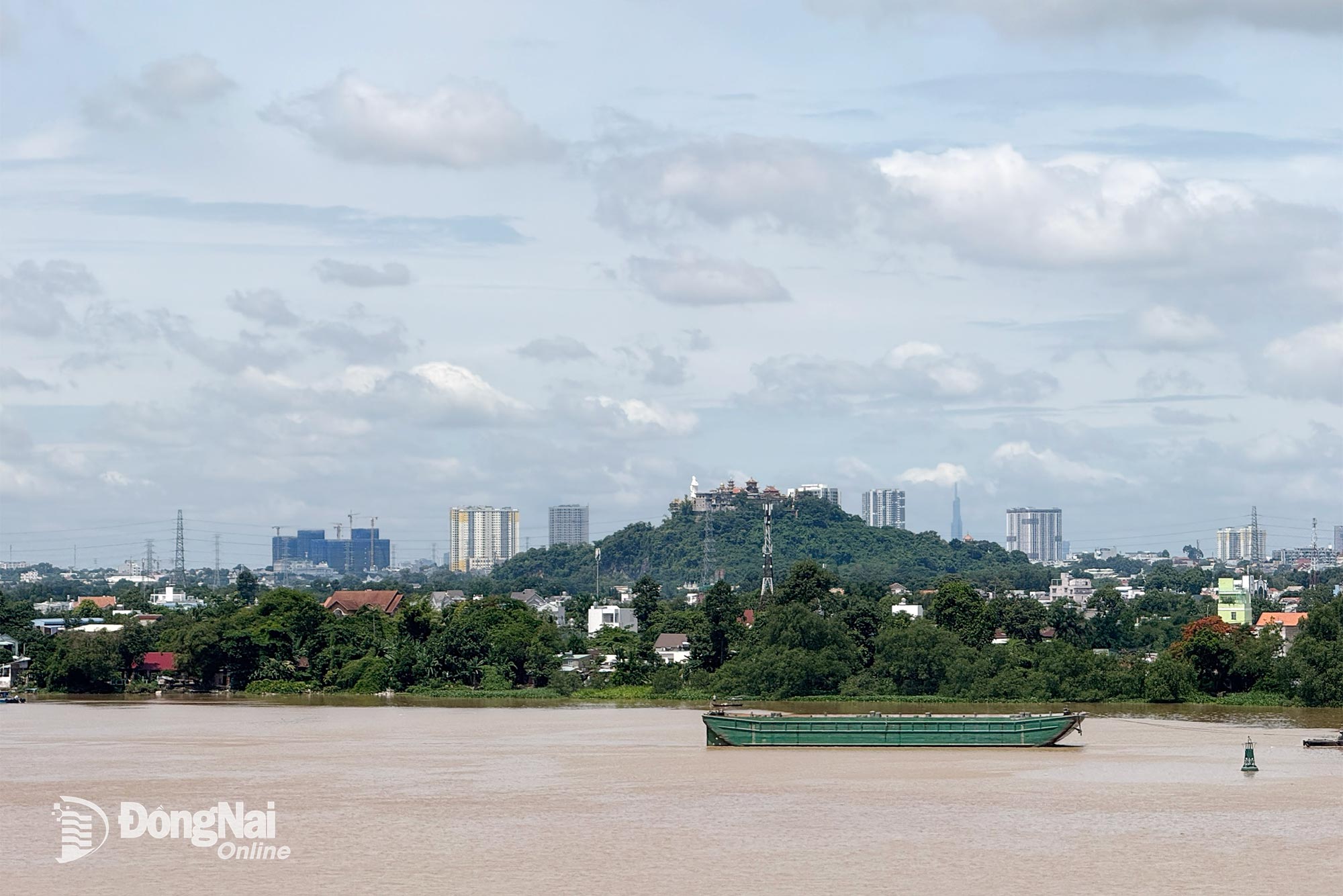
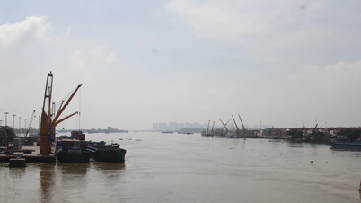
| Dong Nai Hydrometeorological Station said the water level of Dong Nai River is quite high. Illustration photo: Dang Tung |
The peak tide level at Bien Hoa station on October 7 reached 1.9m, 0.1m above alarm level 1; the peak tide on the morning of October 8 reached 1.9m, appearing at 5:30 a.m., 0.1m above alarm level 1.
Warning of areas with potential flooding (high tides): Lower Dong Nai River, in the following wards and communes: Tri An, Tan An, Trang Dai, Tan Trieu, Bien Hoa, Tran Bien, Long Hung, Phuoc Tan, Tam Phuoc, An Phuoc, Nhon Trach, Dai Phuoc, Phuoc An in Dong Nai province and neighboring areas.
At Bien Hoa station, the peak tide level will continue to rise in the next 24-36 hours, then gradually decrease. The highest peak tide at Bien Hoa station is likely to appear from October 8 to 9, reaching approximately 0.05m above the warning level (2m). Possible flood warning level: Warning level 2.
Possibility of other accompanying natural disasters: It is necessary to guard against the possibility of heavy rain combined with floods causing inundation and landslides on river banks, streams, and low-lying areas in the above wards and communes.
Warning: Water levels in rivers and streams in the downstream of the Dong Nai river system are quite high, with the risk of flooding low-lying areas along rivers and streams, adversely affecting waterway traffic, aquaculture, and agricultural production.
Kim Lieu
Source: https://baodongnai.com.vn/ban-doc/202510/canh-bao-kha-nang-xay-ra-trieu-cuong-khu-vuc-ha-luu-song-dong-nai-6db13a9/


![[Photo series] Close-up of the 600 billion VND road before technical opening day](https://vphoto.vietnam.vn/thumb/402x226/vietnam/resource/IMAGE/2025/11/29/1764396366992_anh_1_20251129105320.jpeg)


Comment (0)