
 |
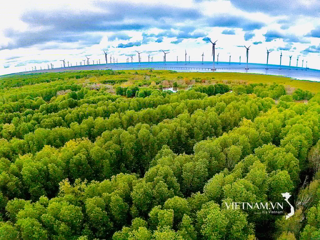
| National Highway 29 through Dong Hoa Town. Photo: MINH DUYEN |
Investment in transport infrastructure
The development of Cung Son urban area is associated with National Highway 25. According to the People's Committee of Son Hoa district, the town's architectural landscape is organized in the northeast - southwest direction with the main traffic axis being Tran Phu street and the route connecting to National Highway 25. On this main traffic axis, there are concentrated commercial areas, parks, small parks... This is also the route with the most beautiful green tree line in the town center. To create a spacious appearance for the inner city center, in recent times, the locality has invested in expansion, paving sidewalks, planting trees and flowers... In particular, the locality has expanded the intersection points of the district's roads with National Highway 25 to create connections with other localities on the same route to promote trade and increase the ability to cooperate in economic development.
Not only Cung Son town, National Highway 25 also plays an important role in economic development in urban areas such as Tuy Hoa, Phu Thu, Phu Hoa. Mr. Nguyen Cong Thanh, Vice Chairman of Tuy Hoa City People's Committee said: National Highway 25 is the western gateway to the city, connecting the coastal area with the Central Highlands. To take advantage of this, over the years, the city government has proactively connected tourism with cities in the Central Highlands, bringing the beauty of the blue ocean of Tuy Hoa to the mountainous areas. At the same time, to develop the western area of the city, the locality has repaired and expanded bridges, roads and adjusted the planning to gradually form urban areas along the Ba River in the future.
Action Program 19 of the Standing Committee of Phu Yen Provincial Party Committee identifies the East-West urban axis as one of the three main axes in the province's urban system. In particular, the East of this urban axis connects with the coastal axis with high socio-economic development and the West is the small urban areas along the Ba River, playing the role of connecting sub-regions along the national highway. The main feature of this urban axis is to promote the process of rural urbanization, develop services, and at the same time play the role of a gateway to promote connection with the Central Highlands provinces.
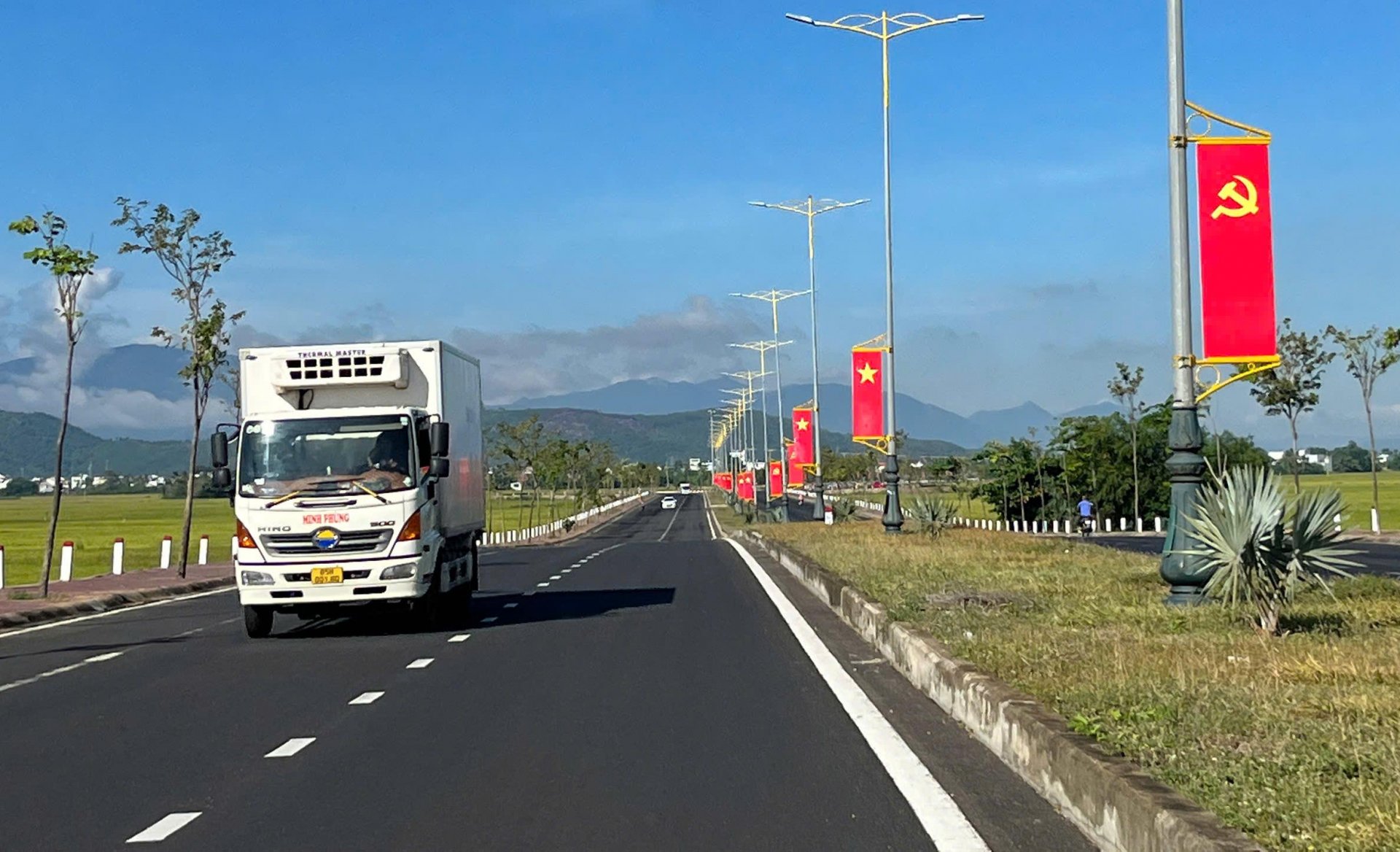
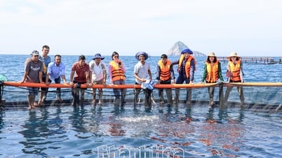
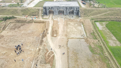
National Highway 29 is considered the main national highway of the Central and Central Highlands regions, with a length of 293km, starting at Vung Ro port (Dong Hoa town) and ending at Dak Rue border gate (Dak Lak province). This route plays an important role in the urban areas of Dong Hoa, Son Hoa, and Song Hinh. In particular, Ea Ly commune (Song Hinh district) is the gateway directly connecting to the Central Highlands.
According to Mr. Hoang Dinh Nam, Chairman of Ea Ly Commune People's Committee, Ea Ly has just officially become a type V urban area. In the process of upgrading the urban area, in addition to investing in bus stations, lighting, parks, clean water systems, etc., authorities at all levels also pay attention to expanding the transportation network, especially rural and intra-field transportation. Thanks to that, production areas and residential areas are all concreted to connect to National Highway 29 and Truong Son Dong route, helping to support transportation and promote the consumption of agricultural products.
According to information from the Department of Construction, the unit has just started repairing the damaged roadbed and surface on National Highway 25 through Phu Hoa and Son Hoa districts with a budget of 14.9 billion VND and is expected to be completed in October 2025. Along with that, the investment and upgrading plan for National Highway 29 has also been discussed by the two provinces of Phu Yen and Dak Lak and will be implemented soon.
Present new opportunities
According to Mr. Pham Tien Hung, Vice Chairman of Buon Ma Thuot City People's Committee, 3 years of tourism connection between Tuy Hoa City and 4 Central Highlands cities (Buon Ma Thuot, Pleiku, Kon Tum, Gia Nghia) have brought many positive results. Specifically, from 12 tours, routes/year to 30 tours, routes/year, in which the longest tour lasts 6 days, 5 nights; the shortest tour is 2 days 1 night and the most exploited tour lasts 4 days, 3 nights. The tourism exploitation rate between cities accounts for 6-10% of the total number of tourists each year. Community tourism associated with villages and hamlets is also invested in by local People's Committees. Typically, Buon Ma Thuot City invests in tourism for 3 villages: Akŏ Dhông, Tông Jŭ and Tuôr village. Kon Tum City has established 4 more villages and tourist destinations including Kon Kơ Tu, Kon Klor, A Biu, Kon Jơ Dri. Pleiku City approved the Project to build a community tourism cultural village in IaNueng village, Bien Ho commune and Op village, Hoa Lu ward. Tuy Hoa City is implementing the Project to build a community tourism village in Long Thuy hamlet, An Phu commune. This will be the premise for the merged communes and wards to promote tourism and service development in the future.
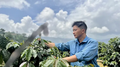
Localities located on the East-West axis such as Song Hinh, Tay Hoa, Son Hoa... are also associated with growing areas of high-value perennial fruit trees such as durian, jackfruit, avocado, mango, custard apple, orange, grapefruit, guava, lychee, longan, pineapple... and short-term industrial crops such as sugarcane, cassava... Therefore, the development of the East-West axis will promote the development of agricultural production in the direction of goods. Mr. Nguyen Van Yen in Ea Bar commune (Song Hinh district) said: Convenient transportation makes the consumption of agricultural products much easier. Before, I sold sugarcane and cassava to factories in the province, now I have more opportunities to sell to factories in Gia Lai so the prices are also better.
Source: https://baophuyen.vn/kinh-te/202506/danh-thuc-tiem-nang-kinh-te-truc-do-thi-dong-tay-e795585/

![[Photo] More than 124,000 candidates in Hanoi complete procedures for the 2025 High School Graduation Exam](https://vphoto.vietnam.vn/thumb/1200x675/vietnam/resource/IMAGE/2025/6/25/fa62985b10464d6a943b58699098ae3f)
![[Photo] First training session in preparation for the parade to celebrate the 80th anniversary of National Day, September 2nd](https://vphoto.vietnam.vn/thumb/1200x675/vietnam/resource/IMAGE/2025/6/25/ebf0364280904c019e24ade59fb08b18)

![[Photo] General Secretary To Lam works with the Standing Committee of Quang Binh and Quang Tri Provincial Party Committees](https://vphoto.vietnam.vn/thumb/1200x675/vietnam/resource/IMAGE/2025/6/25/6acdc70e139d44beaef4133fefbe2c7f)


Comment (0)