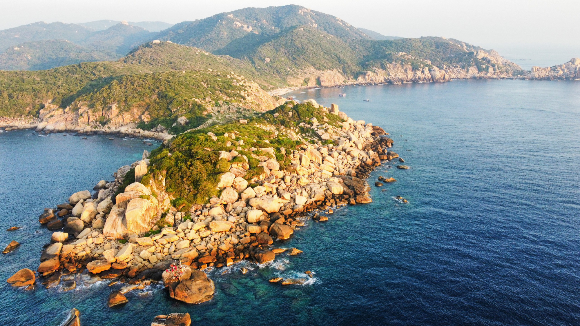
Mui Doi - Hon Dau, the place to welcome the first sunrise on mainland Vietnam - Photo: TRAN HOAI
Our journey to conquer Mui Doi - Hon Dau started from Dam Mon village (Van Thanh commune, Van Ninh district, Khanh Hoa province) and immediately "experienced" 3km across giant coastal sand dunes.
After a short rest stop, we continued on about 8km of forest road, crossing steep slopes and jagged rocks that tested the endurance of any tourist participating in the journey.
According to Mr. Nguyen Thanh Tam, a local who specializes in guiding tourists, the difficult route above requires participants to prepare enough water and electrolytes. In addition, they must have a strong spirit and good endurance to be able to overcome this route.
Overcoming that challenge, visitors can stop and rest overnight at Bai Rang.
Finally, it will be a journey of about 500m from Bai Rang in the early morning to reach the Mui Doi - Hon Dau landmark, the easternmost point on the mainland of Vietnam. Visitors will welcome the first rays of sunlight of the day.
Mr. Pham Vu Thanh An - teacher at Vo Van Ky Secondary School (Nha Trang City) - commented that the journey to explore Mui Doi was arduous and difficult, but when we set foot on the easternmost point of the country, it is also the time when we see the results worthy of the effort we have put in.
"This is an extremely interesting and sacred journey. I hope that in the future, the authorities will pay more attention and invest more in tours and experiences to Mui Doi, so that all Vietnamese people can set foot on the easternmost point of the country" - Mr. An shared.

Sand dunes challenge resilient legs - Photo: TRAN HOAI

Boiling water with a torch while the group rests in the forest - Photo: TRAN HOAI
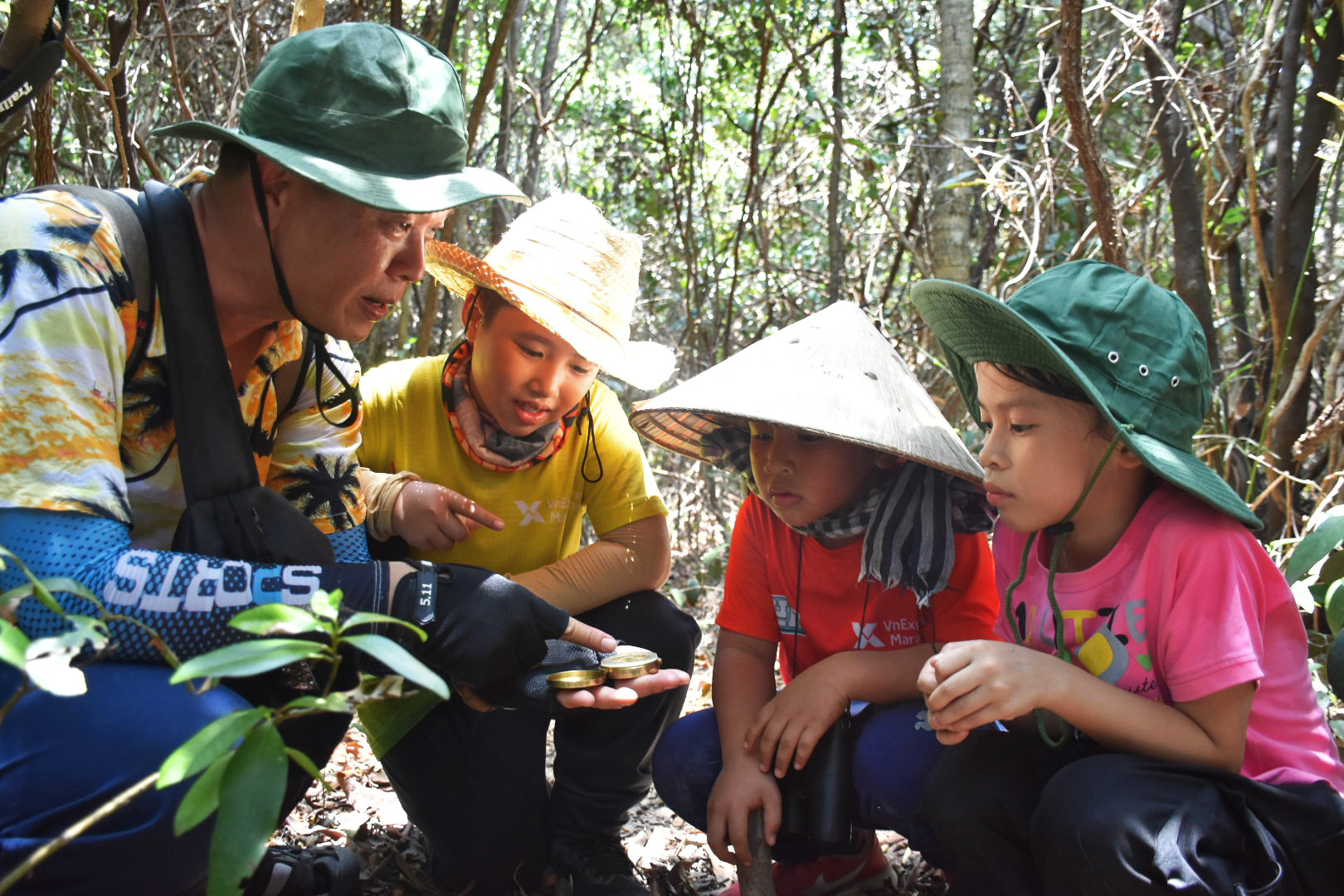
Children are instructed on how to use a compass when walking in the forest - Photo: TRAN HOAI
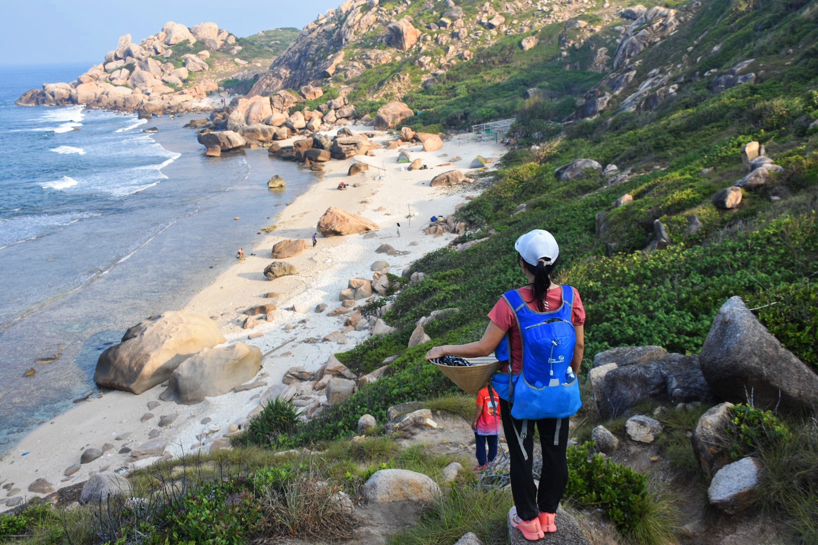
Rang beach area, a place to stop and rest overnight before arriving at Mui Doi early the next morning - Photo: TRAN HOAI
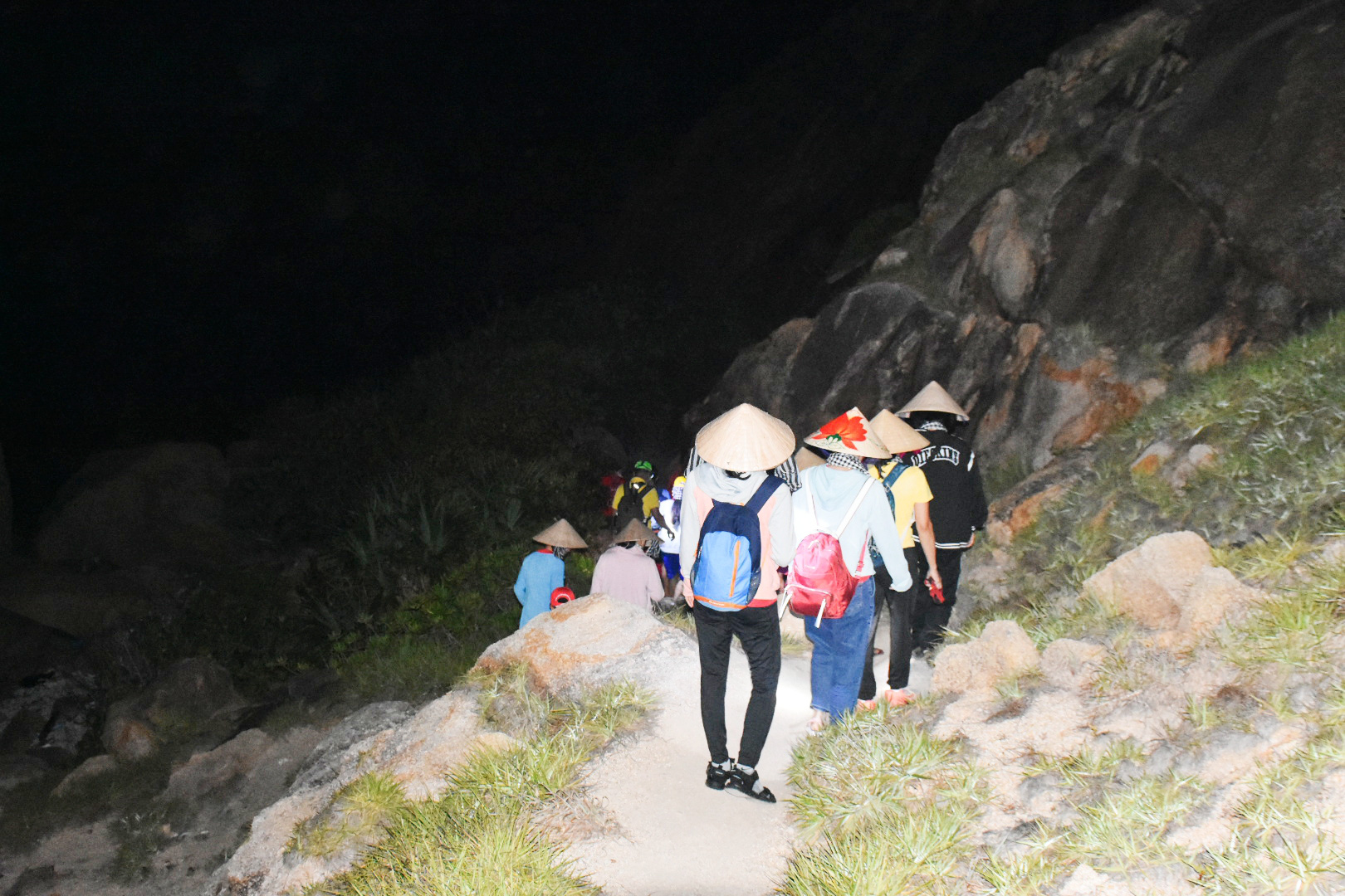
Journey from Rang beach to Mui Doi from 4am - Photo: TRAN HOAI
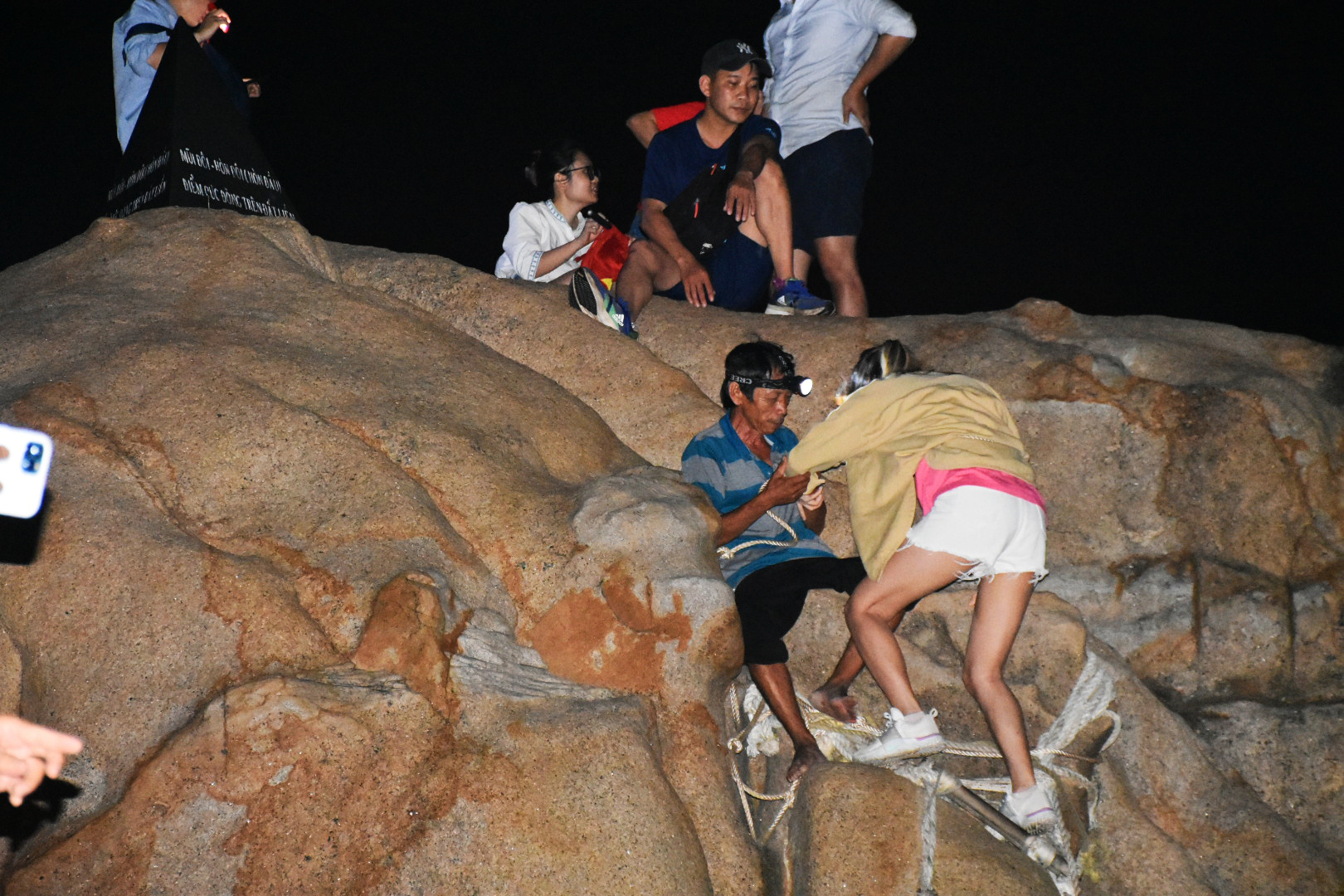
Visitors have to swing on ropes and climb ladders to reach the landmark area - Photo: TRAN HOAI
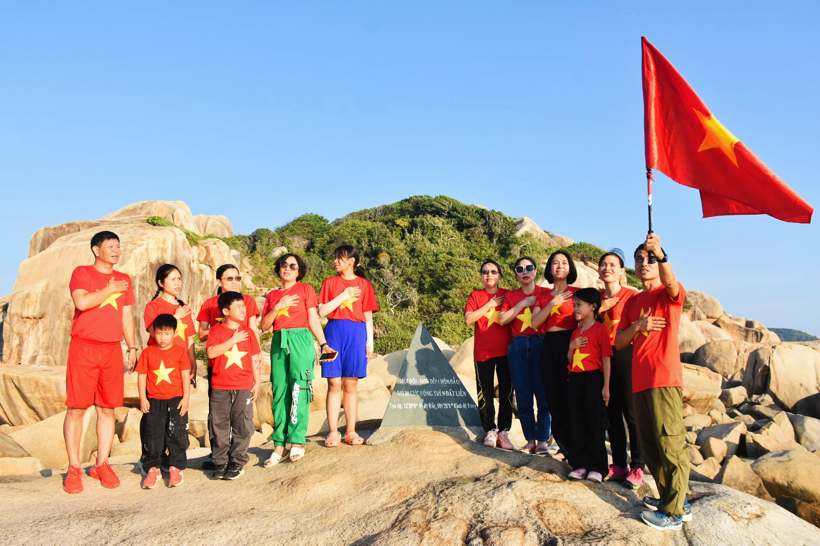
Proud moment when checking in and singing the national anthem at the sacred milestone - Photo: TRAN HOAI
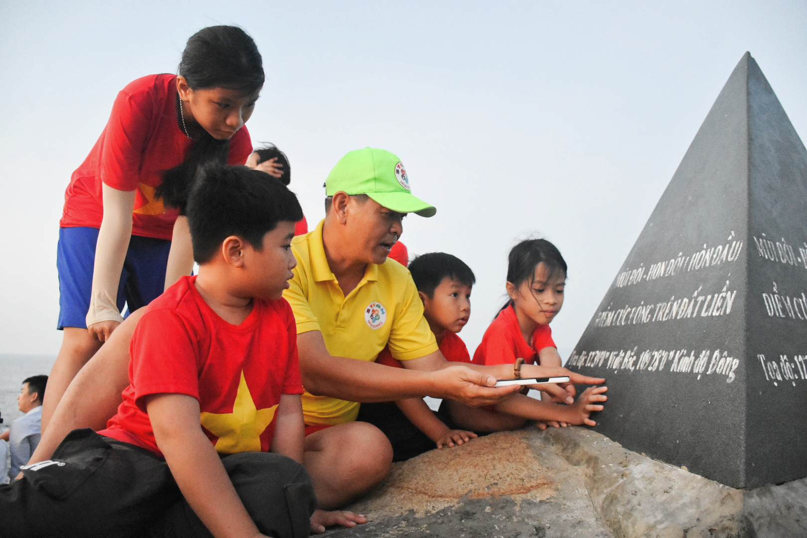
Children are introduced to the coordinates and information on the easternmost landmark of the mainland of the Fatherland - Photo: TRAN HOAI
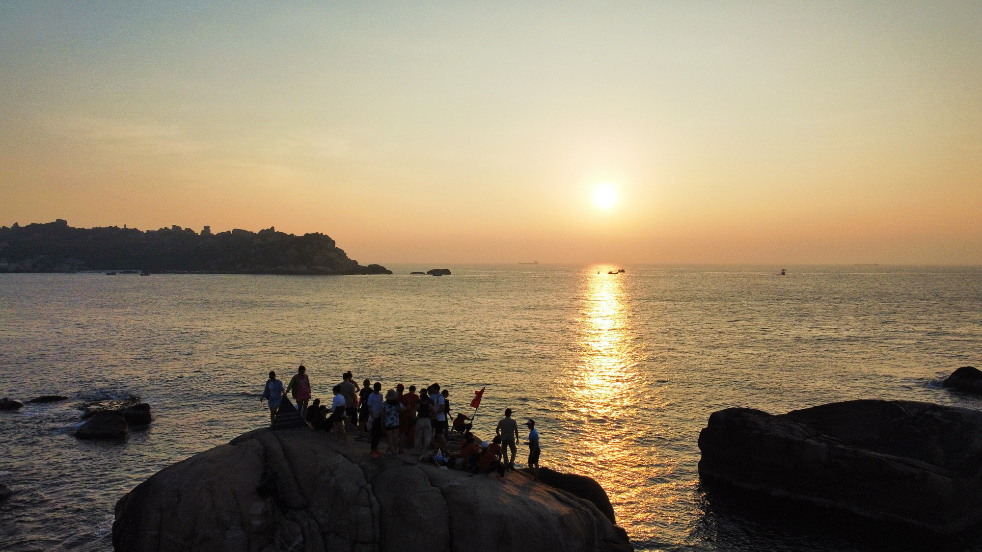
The poetic scene at sunrise - Photo: TRAN HOAI
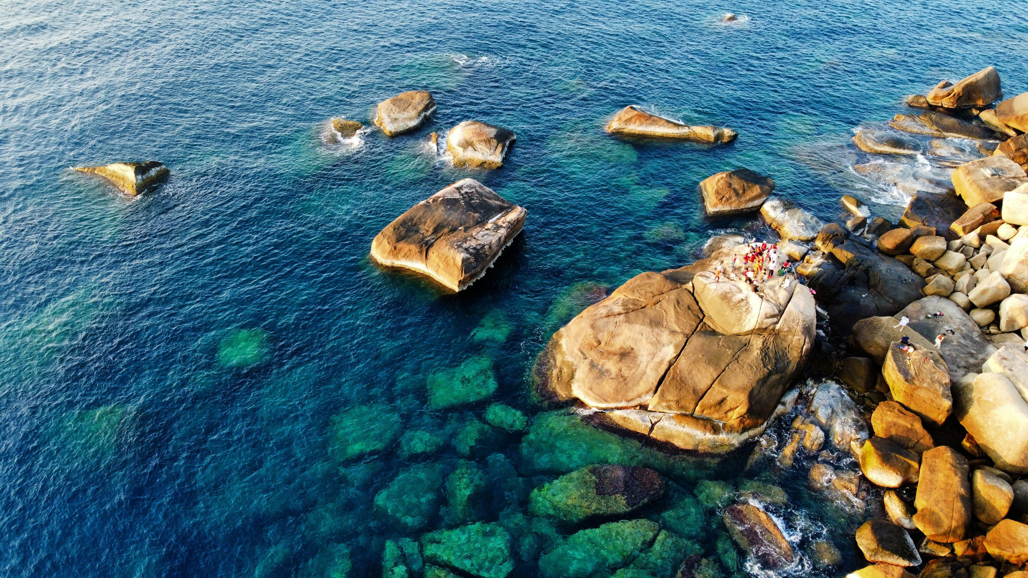
The emerald green water surface at the easternmost point on the mainland of the country - Photo: TRAN HOAI
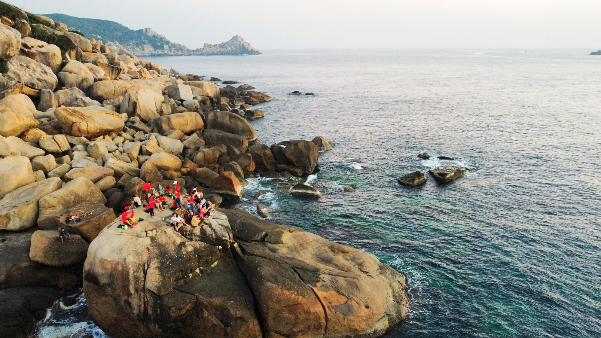
Tourists gather at the landmark to welcome the sunrise - Photo: TRAN HOAI
Mui Doi - Hon Dau has two mainland capes jutting out into the sea, the furthest cape is located at coordinates of about 109 0 28'0" East longitude and 12 0 39'0" North latitude. Local people often call it Mui Doi and about 500m away, there is a small island of about 20,000m2 called Hon Dau.
In 2005, Mui Doi - Hon Dau was recognized as a national scenic spot by the Ministry of Culture and Information (now the Ministry of Culture, Sports and Tourism).
In particular, Khanh Hoa province is a locality with two geographical poles of the country: the easternmost point on land is Mui Doi - Hon Dau (Van Thanh commune, Van Ninh district); the easternmost point on the sea is Tien Nu island (Truong Sa town, Truong Sa district).
 Discover the 'green fairy' in Nha Trang Bay
Source








































Comment (0)