
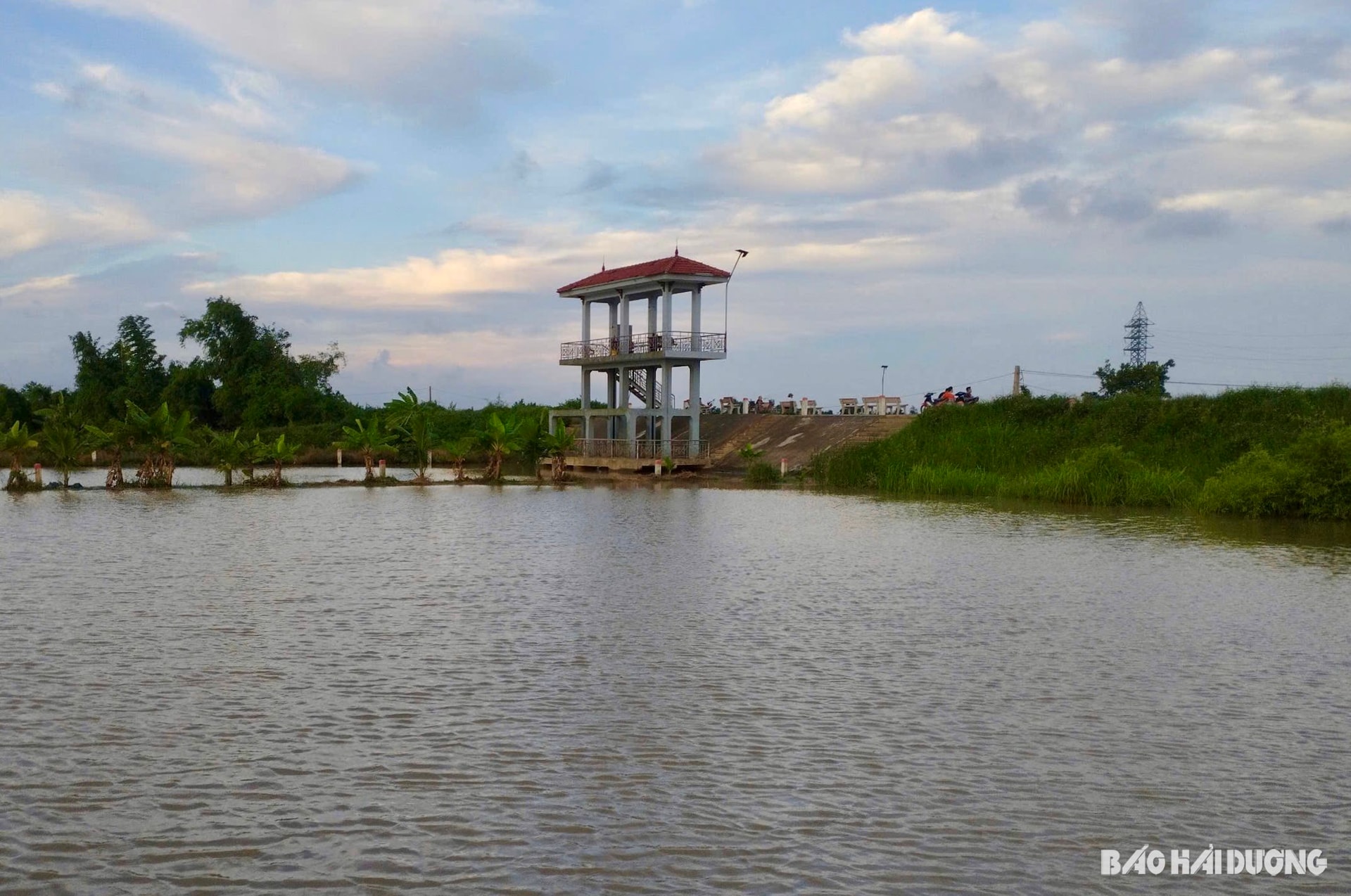
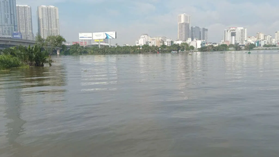
According to reporters, at about 5:30 p.m. on June 24, a strong high tide appeared in the downstream area of Thai Binh River.
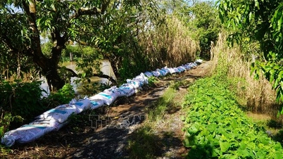
In An Thanh and Quang Trung communes (Tu Ky), the high tide caused the water level of the Thai Binh River to rise to the foot of the dike, causing many areas of organic winter-spring rice outside the dike to be flooded from the height of the tree to the neck of the flower.
Mr. Pham Xuan Luan, Director of An Thanh Agricultural Service Cooperative, said that this was the biggest flood tide since the beginning of the year in the lower Thai Binh River area. The whole commune has about 137 hectares of organic rice outside the Thai Binh River dike. Before the flood tide caused flooding, farmers in the commune had harvested about 120 hectares, with only 17 hectares remaining.
By about 9 p.m. the same day, the water had receded. The flooding was short-lived, so it basically did not affect the remaining ripe rice area. On June 25, the commune mobilized farmers to harvest the remaining area, to prevent further large tidal surges that could affect the quality of the rice after harvest.
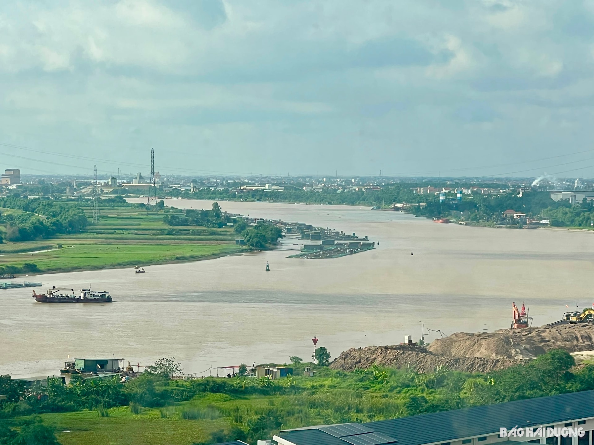
The leader of the Hai Duong Hydrometeorological Station said that due to the influence of strong high tides, water levels on rivers in the downstream areas of the province rose.
At 7:00 a.m. on June 24, at Ba Nha Hydrological Station on Gua River (Thanh Ha), the water level was measured at 2.11 m, exceeding alarm level I by 0.11 m; at An Phu Hydrological Station on Kinh Mon River it was 2.21 m, approximately level I; at Quang Dat Hydrological Station on Rang River (Kim Thanh) it was 2.14 m, exceeding alarm level I by 0.04 m.
Experts recommend that farmers with rice fields outside the dikes of rivers in the downstream area need to monitor high tides, proactively harvest the remaining winter-spring rice fields, and protect crops and property that may be affected by rising water.
TMSource: https://baohaiduong.vn/dot-trieu-cuong-manh-lam-ngap-nhieu-dien-tich-lua-ngoai-de-song-thai-binh-414937.html
![[Photo] President Luong Cuong attends the 80th Anniversary of the Traditional Day of Vietnamese Lawyers](https://vphoto.vietnam.vn/thumb/1200x675/vietnam/resource/IMAGE/2025/10/09/1760026998213_ndo_br_1-jpg.webp)


![[Photo] General Secretary To Lam visits Kieng Sang Kindergarten and the classroom named after Uncle Ho](https://vphoto.vietnam.vn/thumb/1200x675/vietnam/resource/IMAGE/2025/10/09/1760023999336_vna-potal-tong-bi-thu-to-lam-tham-truong-mau-giao-kieng-sang-va-lop-hoc-mang-ten-bac-ho-8328675-277-jpg.webp)

![[Photo] Prime Minister Pham Minh Chinh chairs a meeting of the Government Standing Committee on overcoming the consequences of natural disasters after storm No. 11](https://vphoto.vietnam.vn/thumb/1200x675/vietnam/resource/IMAGE/2025/10/09/1759997894015_dsc-0591-jpg.webp)


Comment (0)