
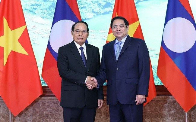
Prime Minister Pham Minh Chinh received Comrade Bounthong Chitmany, Politburo member, Permanent member of the Secretariat of the Lao People's Revolutionary Party Central Committee, Vice President of the Lao People's Democratic Republic.
The border line on all border river sections from North to South is planned uniformly according to the following principles: Border rivers that can be navigated by ships, the border line goes in the middle of the river's channel or in the middle of the main channel of the river if the river has many branches at the lowest water level. Border rivers that cannot be navigated by ships, the border line goes in the middle of the river. The border line on all border river sections described and shown as going to one side of the river in the Planning Treaty and on the 1:100,000 scale map attached to the Treaty as well as in the field demarcation records and marker planting and the relevant 1:25,000 scale border line diagram made before this Supplementary Treaty are invalid. When crossing bridges over border rivers and streams, the border line goes right in the middle of the bridge, regardless of how the border line goes under the river or stream: The islands and alluvial flats on both sides of the border on border rivers and streams, if on the Vietnamese side, belong to Vietnam, if on the Lao side, belong to Laos. The islands and alluvial flats located on the border rivers and streams that the border line passes through, the regulations for dividing those islands and alluvial flats are as stated in paragraph one. New islands and alluvial flats that appear after the settlement of the entire border line are also settled according to the principles stated in paragraph one. In case the border river or stream changes course, the border line remains unchanged according to the new course if the two sides have no other agreement.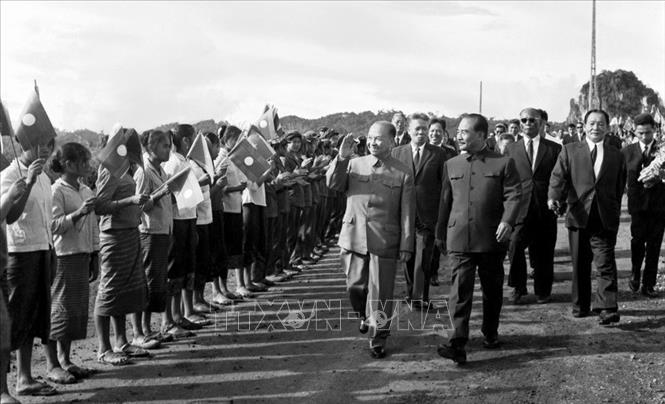
Prince Souphanouvong, Chairman of the Lao Supreme People's Council, welcomed National Assembly Chairman Truong Chinh and the Vietnamese delegation to Viengxay to attend the ceremony to celebrate the Independence Day of Laos (October 11, 1975). Photo: VNA
The disposal of unnecessary markers as well as the planting of new boundary markers referred to in Article VII above shall be recorded in a Protocol signed by the representatives of the two countries. This Protocol shall enter into force from the date of the exchange of notes of approval by the two governments and shall become an annex to the Delimitation Treaty on the Supplementary Treaty. Other provisions of the Delimitation Treaty not modified by this Supplementary Treaty shall remain in force. The revised border mentioned in Articles I to VI above is shown on thirteen 1:25,000 scale diagrams bearing the numbers 5650 IV-A, 5650 IV-B, 5650 IV-D, 5750 I-B. 5850 IA, 5949 IV-A, 5949 IV-B, 5949 IV-C, 5949 IV-D, 5949 II-A, 5949 II-B, 5949 II-D, 5948 II-B. The border line in Pieng Tan area, Duc village from the mountain peak coordinates 20005'00"0 - 104059'04"1 to the top of Nam Han headwater mountain coordinates 19059'42"6 - 104055'26"5 shown on two 1:25,000 scale diagrams numbered 5949 II-D, 5948 IB of section H (corresponding to coordinates 22G31'47" - 114G04'31" coordinates 22G21'95" - 113G98'00" measured on the 1:100,000 scale map attached to the Sem Teu 70-B, No. 19) planning agreement between Thanh Hoa province (Vietnam) and Hua Phan province (Laos) has been amended as: "From the mountain peak coordinates 20005'00"0 - 104059'04"1 border line in the general direction of South Southwest following the mountain ridge through the mountain peak at coordinates 20004'45"0 - 104058'07"5 to intersect Pa Hoc stream at coordinates 20003'36"0 - 104058'38"7, up along the mountain ridge then down to intersect Kheo stream at coordinates 20003'09"1 - 104058'02"9; up to intersect the old car road at coordinates 20003'07"4 - 104058'02"1, changing the general direction to Southwest following the mountain ridge through the Phu Huot mountain peak at coordinates 20002'41"5 - 104057'09"6, then down to intersect Canh Com stream at coordinates 20002'01"0 - 104056'18"0, go up the mountain ridge past the top of Canh Pha mountain at coordinates 20001'34"5 - 104055'59"5, the top of the mountain at coordinates 20000'48"3 - 104055'18"9, the top of the mountain at coordinates 20000'07"6 - 104055'12"5 to the top of the mountain at coordinates 20000'00"0 - 104054'56"1; turn Southeast along the mountain ridge to the top of the mountain at coordinates 19059'39"0 - 104055'08"2; turn generally East Northeast along the mountain ridge to the top of the headwaters of Nam Han mountain at coordinates 19059'42"6 - 104055'26"5." Vietnam and Laos regularly exchange delegations to help each other update information and share experiences, as well as help train and develop staff and survey tourism routes in response to the increasing number of tourists traveling between the two countries. In addition, the two countries also cooperate with Thailand to build a road tour connecting the three countries. Vietnam is always the second largest market in terms of the number of tourists to Laos. The prospects for tourists to visit and cooperation in developing the tourism industry of the two countries are still very large.Kim Oanh


Comment (0)