
According to the National Center for Hydro-Meteorological Forecasting, at 4:00 a.m. on July 22, the storm's center was located at approximately 20.5 degrees North latitude - 107.2 degrees East longitude, 140km from Quang Ninh, 70km from Hai Phong , 80km from Hung Yen and 100km from Ninh Binh. The storm is at level 9-10, gusting to level 13, moving west-southwest at a speed of 15km/hour.
A representative of the Department of Hydrometeorology informed: meteorological stations and the National Center for Hydrometeorological Forecasting are closely monitoring and continuously updating hourly developments of storm No. 3 (Wipha).
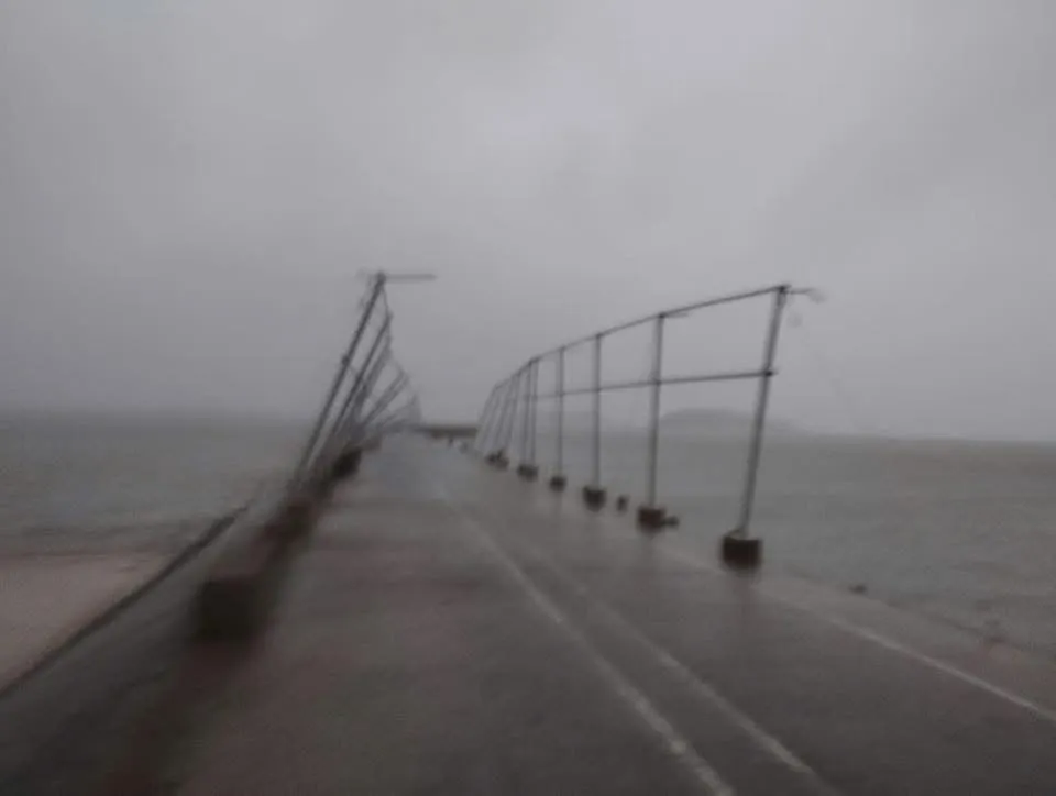
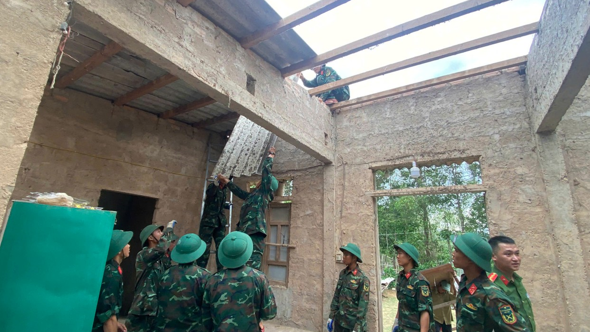
 had its roof blown away. Photo: Contributor")
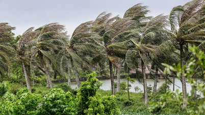
From the night of July 21 to this morning, the Northern Delta and coastal areas, Thanh Hoa and Nghe An have had moderate to very heavy rain, with common rainfall of 50-100mm, in some places over 130mm.
It is forecasted that by the end of July 23, the North, Thanh Hoa and Nghe An will continue to have heavy to very heavy rain (200-300mm), some places over 500mm; Ha Tinh and other areas in the North will have rain of 70-150mm, the highest place may be over 250mm.
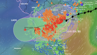
At 4:30 a.m., weather radar images showed the heaviest rain concentrated from Ninh Binh to Nghe An. Although the storm's eye has not yet made landfall, it has approached the sea from South Quang Ninh to Ninh Binh and is expected to affect a wide area in the North and North Central regions from this morning to noon.

However, the impact of the storm is not evenly distributed among regions. Some meteorological experts said that the center of the storm shifted southward, so the southern edge of the storm had heavy rain and strong winds.
In Nghe An, heavy rain and strong winds lasted all night. In Hung Yen, rain and wind started at midnight. In Ninh Binh, strong winds and rain started at 4am. Meanwhile, in Hai Phong and some other areas near the storm's eye, there was almost no rain or wind, making people worried because the weather was "scary calm".

In Quang Yen (Quang Ninh), strong winds accompanied power outages. Co To Island (located on the northern edge of the storm) was only slightly affected, with insignificant wind and rain. In Hanoi, the weather was quite calm, with light winds at 3am and almost no wind or rain from 4-5am.

The meteorological agency warns against complacency, as storm circulation is complex and rain and wind can return at any time of the day. It is especially important to be on guard against strong gusts of wind during thunderstorms, wind amplification effects near high-rise buildings, and the risk of heavy rain after the storm.
Source: https://www.sggp.org.vn/tam-bao-so-3-wipha-ap-sat-mien-bac-mua-to-tu-rang-sang-post804794.html


Comment (0)