
Accordingly, it is expected that after the arrangement, Binh Giang district will have 4 communes: Ke Sat, Binh Giang, Duong An and Thuong Hong.
Ke Sat commune was established on the basis of merging the entire area and population of Ke Sat town and Vinh Hung, Hung Thang communes, and part of Vinh Hong commune. Ke Sat commune has an area of 24.66 km², population of 39,554 people. The working headquarters is expected to be located at the headquarters of the District Party Committee, People's Council and People's Committee of Binh Giang district. Ke Sat is a densely populated and bustling commercial area. Located next to National Highway 5, National Highway 38 and the Sat River, Ke Sat also has the largest Ke Sat Parish Church in the North.
Binh Giang commune was established on the basis of merging the entire area and population of the communes: Long Xuyen, Tan Viet, Hong Khe, Co Bi and part of Vinh Hong commune. Binh Giang commune has an area of 26.01 km², population of 32,925 people. The working headquarters is expected to be located at the headquarters of the Party Committee, People's Council, People's Committee of Long Xuyen and Hong Khe communes.
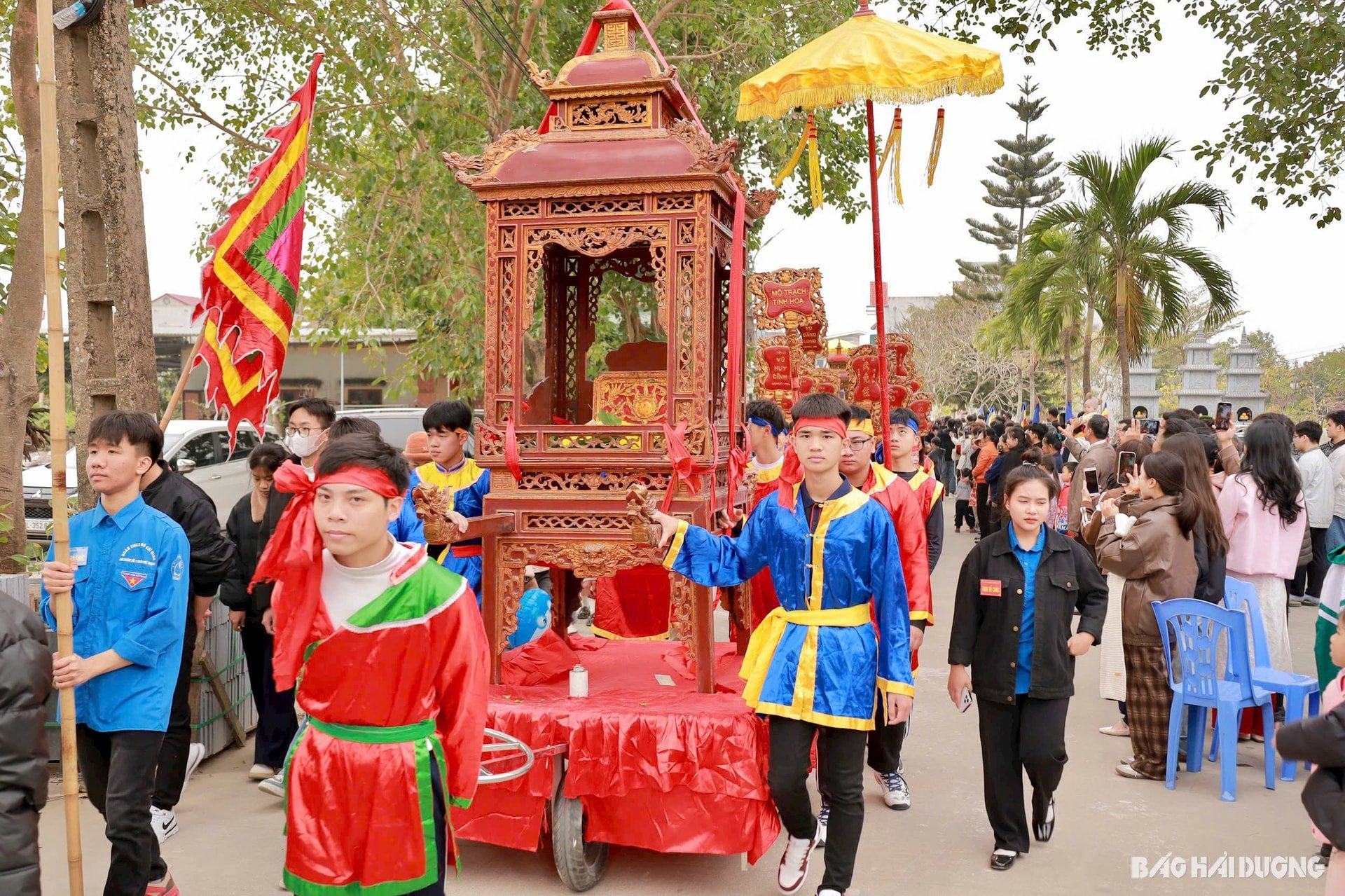
Binh Giang is an ancient land, belonging to the Red River Delta. According to the book Dai Nam Nhat Thong Chi, "Binh Giang prefecture" was formerly called "Hong Chau". In the third year of Minh Mang (1822), to avoid the taboo name of the king "Hong", Thuong Hong prefecture was changed to Binh Giang prefecture. Ha Hong prefecture was changed to Ninh Giang prefecture. Through the ups and downs of history, Binh Giang still maintained its historical tradition of mandarin examinations (Eastern doctoral school) and culture.
Duong An commune was established on the basis of merging part of the natural area of the communes: Thuc Khang, Thai Minh, Tan Hong, Thai Duong and Thai Hoa. Duong An commune has an area of 25.53 km², population of 34,341 people. The working headquarters is expected to be located at the headquarters of the Party Committee, People's Council, People's Committee of Thai Minh and Tan Hong communes.
During the Tang Dynasty, Binh Giang District belonged to Giao Chau. In 825, the Tang King sent Vu Hon to be the governor of Giao Chau. In 841, Vu Hon was promoted to An Nam Protectorate. While serving as an official, Vu Hon established Kha Mo hamlet, which is Mo Trach village, Tan Hong commune today, and named the district Duong An.
Thuong Hong commune was established on the basis of merging the entire area of Binh Xuyen commune and a part of the natural area of the communes: Thai Hoa, Thai Duong, Tan Hong, Thai Minh, Thuc Khang along with a part of the two communes Doan Tung, Thanh Tung (Thanh Mien). Thuong Hong commune has an area of 24.01 km², population of 24,584 people. The working headquarters is expected to be located at the headquarters of the Party Committee, People's Council, People's Committee of Binh Xuyen commune and Thai Hoa commune.
Thuong Hong can be understood as the land located in the upper reaches of the Red River. In the year of Mau Than (1428), Le Loi ascended the throne as Emperor, took the reign name Thuan Thien, established the Later Le Dynasty, and restored national independence. The country's name and capital remained the same as the Tran Dynasty. Hai Duong land belonged to Dong Dao, including 4 regions: Thuong Hong, Ha Hong, Nam Sach, and An Bang. Binh Giang district belonged to Thuong Hong region.
Also according to this plan, Nhan Quyen commune of Binh Giang district will be merged with some communes of Thanh Mien district.
HUYEN TRANGSource: https://baohaiduong.vn/ten-thuong-hong-se-duoc-dat-cho-mot-xa-moi-o-binh-giang-410100.html


![[Infographic] In 2025, 47 products will achieve national OCOP](https://vphoto.vietnam.vn/thumb/402x226/vietnam/resource/IMAGE/2025/7/16/5d672398b0744db3ab920e05db8e5b7d)


Comment (0)