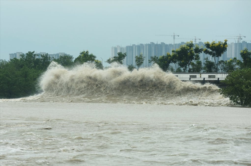
The National Center for Hydro-Meteorological Forecasting said that there is a low pressure area in the Central East Sea. It is forecasted that today (September 16), the low pressure area will move West Northwest and has the potential to strengthen into a tropical depression with a probability of 60-70%.
However, the probability of it becoming a storm is low (less than 10%). This low pressure area mainly causes thunderstorms, strong winds of level 5-6 in the Central East Sea, rough seas. In addition, it is forecasted that in the last 10 days of September, in the sea area east of the Philippines, there is a high possibility of 1-2 strong storms forming and possibly entering the East Sea, affecting our mainland.
The Center for Meteorological Forecasting has just released its seasonal climate forecast for the whole country in the next 6 months (October 2025 - March 2026).
Accordingly, during this period, ENSO is likely to remain in a neutral state and lean towards the cold phase, but has not yet reached a La Nina cycle. However, from now until the end of the year, weather patterns of storms or tropical depressions, cold air, and floods will fluctuate. Specifically, from October to December 2025, storms or tropical depressions operating in the East Sea and affecting our country are likely to be at a higher level than the average of many years (average of many years in the East Sea: 4.5 storms, making landfall: 1.9 storms). After that, from January to March 2026, there is less possibility of storms/tropical depressions appearing in the East Sea.
Source: https://quangngaitv.vn/bien-dong-kha-nang-xuat-hien-4-5-con-bao-ap-thap-nhet-doi-tu-nay-den-cuoi-nam-6507352.html


![[Photo] Impressions of the Can Gio Whale Festival](https://vphoto.vietnam.vn/thumb/1200x675/vietnam/resource/IMAGE/2025/10/09/1759984089762_image12334-5642-jpg.webp)










Comment (0)