
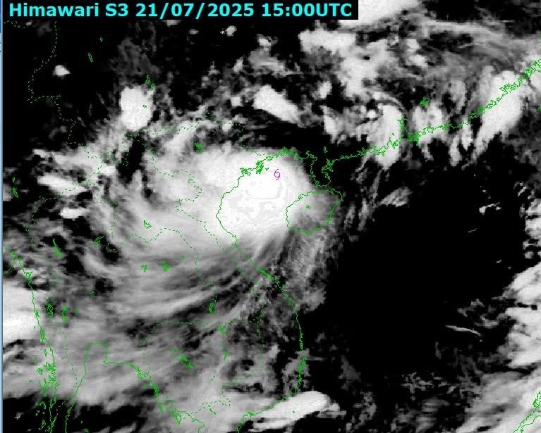
The National Center for Hydro-meteorological Forecasting said that at 7:00 a.m. on July 22, the center of the storm was at about 20.2 degrees North latitude; 106.7 degrees East longitude, about 202 km southwest of Quang Ninh, about 67 km southeast of Hai Phong , about 25 km east of Hung Yen, and about 45 km northeast of Ninh Binh.
The strongest wind is level 9 (75-88 km/h), gusting to level 11.
Forecast in the next 3 hours, the storm moves in the West Southwest direction, speed about 15 km/h.
Previously, at 4:00 a.m. on July 22, storm No. 3, level 10 intensity, was about 140 km west-southwest of Quang Ninh, about 70 km east of Hai Phong, about 80 km east-northeast of Hung Yen , and about 110 km northeast of Ninh Binh.
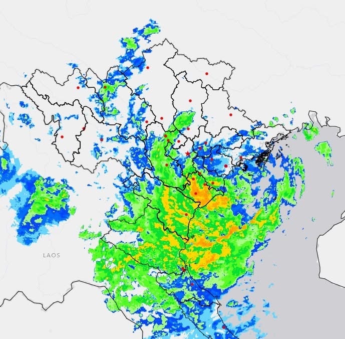
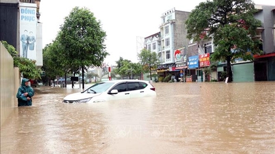
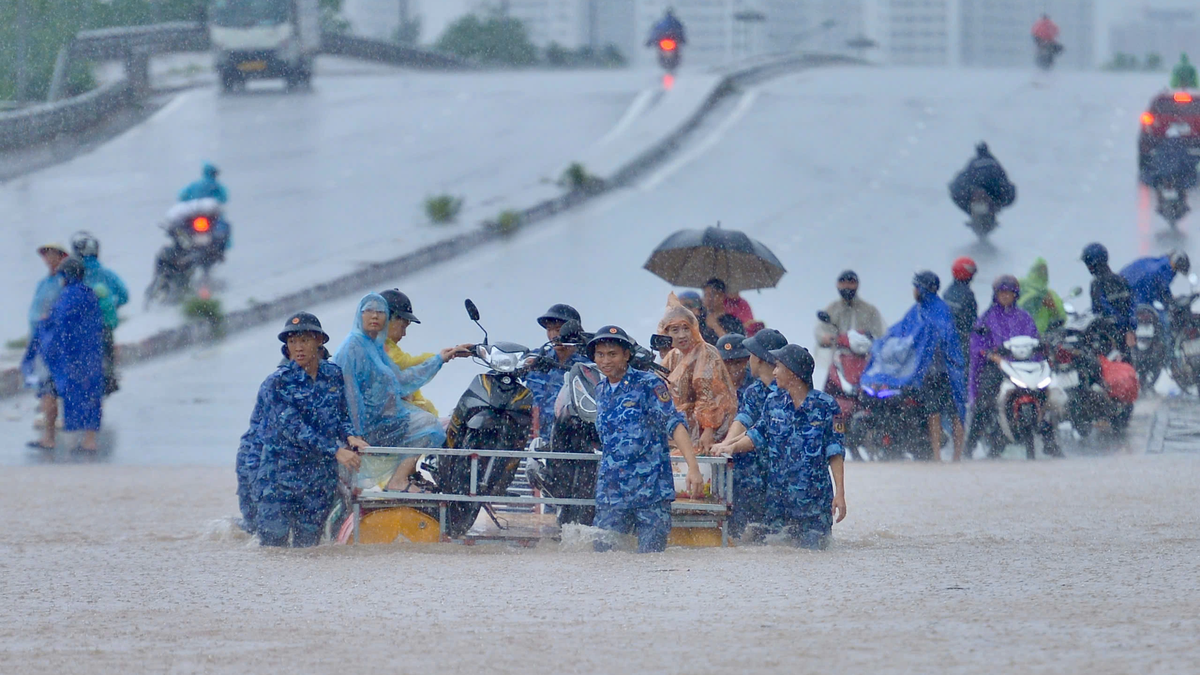
From early morning of July 22 to July 23, in the Northern Delta region, Thanh Hoa and Nghe An, there will be heavy to very heavy rain and thunderstorms with common rainfall of 200-300mm, locally over 500mm; other places in the Northern region and Ha Tinh will have moderate rain, heavy rain, locally very heavy rain and thunderstorms with common rainfall of 70-150mm, locally over 250mm.
At 4:50 am: Ninh Binh, Thanh Hoa and Nghe An are having the heaviest rain. Along the coast of Quang Ninh, Hai Phong, Hung Yen and Ninh Binh provinces, the wind is very strong.
Northern and North Central provinces on guard against landslides.
Source: https://baonghean.vn/cap-nhat-bao-so-3-bao-sap-do-bo-hung-yen-ninh-binh-khu-vuc-dong-bang-bac-bo-thanh-hoa-va-nghe-an-co-mua-to-den-rat-to-10302823.html


![[Photo] Super harvest moon shines brightly on Mid-Autumn Festival night around the world](https://vphoto.vietnam.vn/thumb/1200x675/vietnam/resource/IMAGE/2025/10/07/1759816565798_1759814567021-jpg.webp)


Comment (0)