

Positive movement
Undeniably, digital transformation in land management has made significant progress in recent years. The successful integration of 1.3 million land parcels into the management system is not just a quantitative figure, but a testament to a shift in management thinking.
Mr. Ho Manh Tien, Head of the Economic Department of Son Duong Commune, said: "Previously, whenever people came to complete land-related procedures, officials had to search through stacks of paper files, which was very time-consuming and lacked accuracy. Since the data has been digitized, with just a few clicks on a computer, it's possible to look up the origin, area, and legal status of a land plot. This not only reduces the pressure on officials but also makes information more transparent, helping people trust the administrative procedures at the local level more."
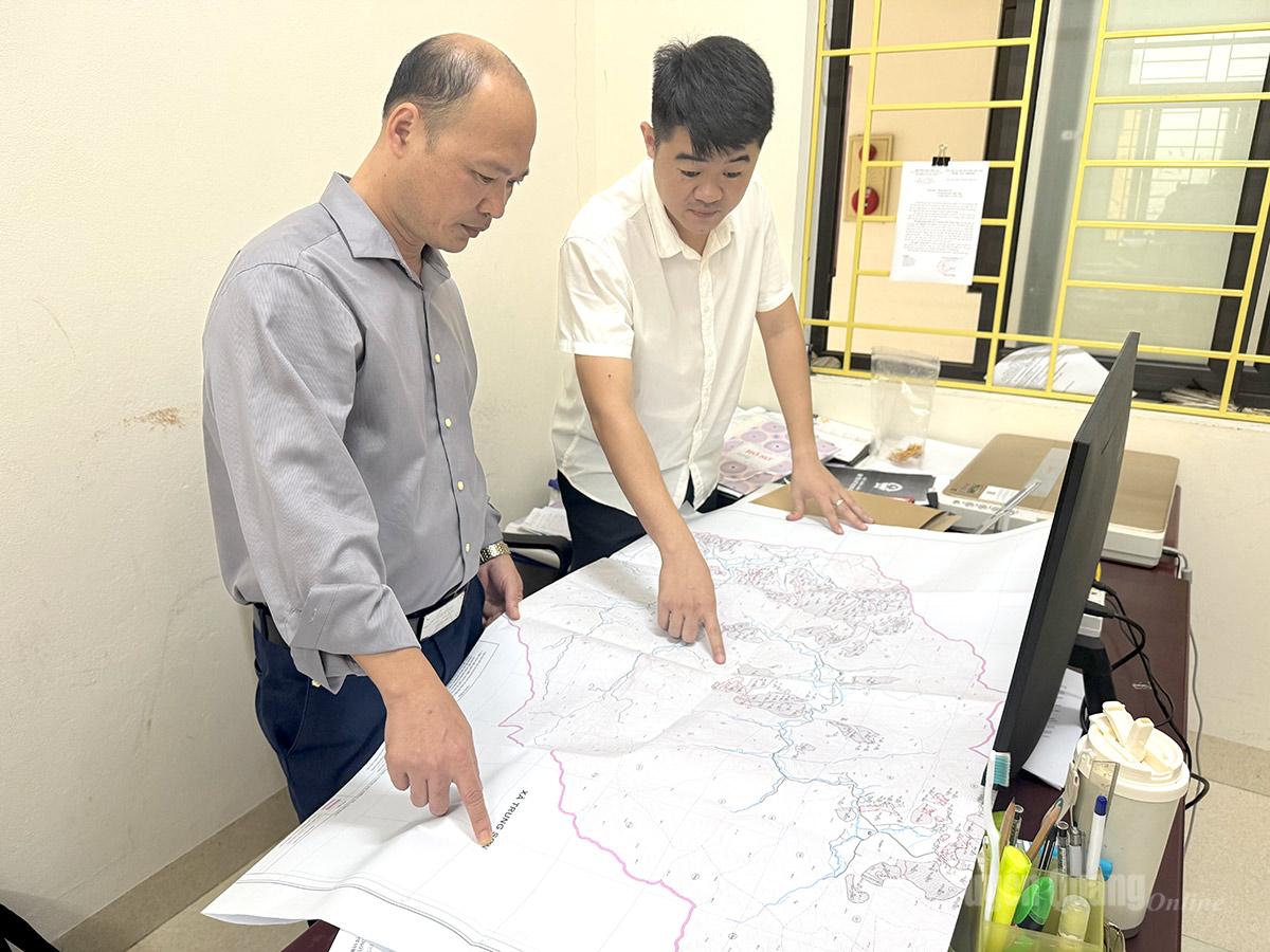 |
| Without digital data, officials from the Economic Department of Tan Long Commune People's Committee still have to use paper maps for verification. |
Similarly, in Ha Giang 1 and Ha Giang 2 wards and Bac Me, Minh Ngoc, Minh Son, and Yen Cuong communes, land data has been entered into a multi-purpose land information system. Instead of fragmented files, the data is now organized in a centralized model, allowing for the integration of multiple layers of information. From cadastral coordinates and land parcel boundaries to the history of legal changes, this helps localities closely manage land changes in real time, while also creating synchronized connectivity between levels, from commune to province.
Comrade Ly Hai Vinh, Chairman of the People's Committee of Bac Me Commune, affirmed: Data purification has helped shorten the processing time for land transaction documents by 30-40%. This is an important prerequisite for the locality to successfully implement electronic tax integration and online payments. This modern process optimizes interaction between citizens and public authorities, creating the most favorable conditions for people to enjoy the best benefits from a professional and friendly digital administration.
Challenges remain.
Despite the achievements, ensuring the standardization of the land database still has a long way to go. According to a report from the Department of Agriculture and Environment, out of more than 3.6 million land parcels that have been issued land use right certificates, only over 1.3 million are included in the land database (approximately 37%), while nearly 2.3 million parcels remain outside the land database system, meaning they have not yet been digitized. Digitization requires the simultaneous implementation of three processes: cadastral mapping, certificate registration, and database construction. Significantly, many localities have a data gap on the common platform. This is a huge data void that directly hinders the current progress in building e-government.
Tan Long commune is currently one of the communes with a complete lack of land database information. Mr. Nguyen Duc Dung, a specialist in the Economic Department of the Tan Long Commune People's Committee, stated: "The biggest difficulty right now is that the commune does not have a standardized, digitized cadastral map. All management work still relies on old paper maps and land registers from various periods, which have undergone many changes compared to the actual situation. When people need to conduct transactions or verify land ownership, the commune has to spend a lot of effort manually comparing the data, and even has to go to the site to remeasure using traditional methods. The lack of data in the system not only causes difficulties for commune officials in management but also disadvantages people due to the prolonged waiting time for processing procedures."
Ms. Nguyen Thi Thanh Thuy, Deputy Director of the Department of Agriculture and Environment, stated that in addition to localities with no data, many other localities lack basic survey data, which is the backbone of the database. This is not to mention that many localities have poor and outdated land information compared to the actual situation on the ground…
Determined to enrich and clean up the land resources
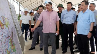
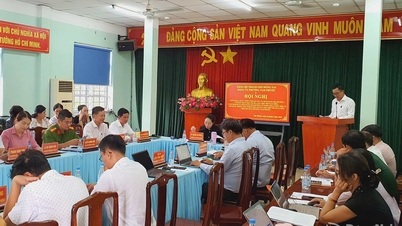
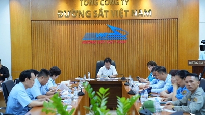
At the May 11th meeting of the Provincial People's Committee on the implementation of land surveying, cadastral mapping, and land database completion tasks, Mr. Hoang Gia Long, Member of the Provincial Party Standing Committee and Vice Chairman of the Provincial People's Committee, clearly stated: The construction and completion of the land database is of particular importance, serving as a core foundation for promoting digital transformation, administrative reform, and enhancing the effectiveness of state management. Therefore, departments, agencies, and localities have identified this as a key task, implementing it decisively according to the "6 clear" principle. The goal is to review and definitively resolve long-standing data discrepancies and overlaps; and standardize data according to the criteria of "correct - complete -
"Clean and vibrant," ensuring unified connectivity across the entire system to serve citizens and businesses. This entire roadmap must be completed by 2026.
Deputy Director of the Department of Agriculture and Environment, Nguyen Thi Thanh Thuy, affirmed: The department has developed a specific roadmap, established a Steering Committee and specialized teams from the provincial to the local level. Currently, each member has been assigned to specific communes to accurately review the workload and funding needs for submission to the province for consideration. In particular, the Department has categorized four target groups to focus resources on support. The highest priority is given to the "blank" data group. Starting this May, the department will begin supporting localities in implementing a comprehensive approach, from surveying and mapping to registration and declaration, and building databases.
Building a land database is not just a unilateral effort by the relevant professional sector; it requires the concerted efforts of the people. Only when information is provided fully and accurately can resources truly be unlocked on a digital platform.
Text and photos: Doan Thu
Source: https://baotuyenquang.com.vn/kinh-te/202605/tang-toc-xay-dung-co-so-du-lieu-dat-dai-1453af4/

![[Photo] General Secretary and President To Lam presides over the meeting to approve the draft report on the results of the second inspection by the Politburo of the Standing Committee of the Hanoi City Party Committee.](https://vphoto.vietnam.vn/thumb/1200x675/vietnam/resource/IMAGE/2026/05/26/1779789811432_a2-bnd-4430-9620-jpg.webp)









































































Comment (0)