
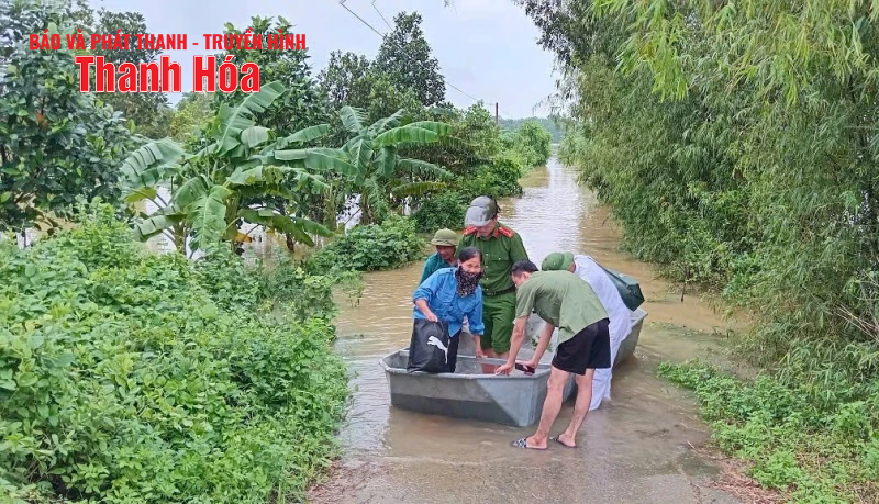
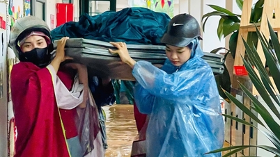
Authorities took people to safety.
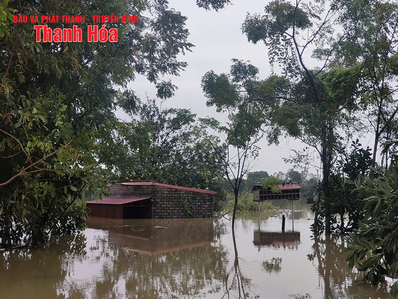
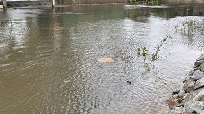
Residential areas and livestock farms were deeply flooded.
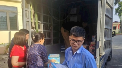
Faced with the emergency, the Party Committee and the government of Dinh Hoa commune established two rapid response teams with departments, branches, organizations and functional forces to urgently mobilize vehicles, deploy rescue, focus on giving priority to taking sick people to emergency care in time and evacuating people, especially the elderly, children, and pregnant women to safe places; move assets for the people; establish a logistics team located at the old Dinh Thanh commune office area to be responsible for providing necessities, food, drinking water, and necessary medicines for people when they have to evacuate to safe places.
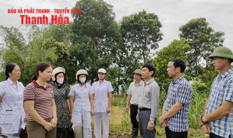
Commune leaders inspected and encouraged cadres and people to overcome storm No. 5.
In addition, in Dinh Hoa commune, there are some roads that are deeply flooded, potentially dangerous such as: The route through Thanh Giang Bridge (From the old Dinh Thanh commune to the old Thieu Giang commune), the water level is 0.5 - 0.7m; The length of the flooded section is 200m. On National Highway 45 (the area adjacent to Si bridge, the old Dinh Binh commune), the water level is up to 0.75m; the length of the flooded section is about 500m...
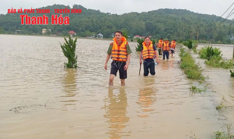
Dinh Hoa Commune has continuously issued warnings to people to absolutely not be subjective when traveling through deeply flooded sections, and to proactively grasp information, choose safe routes, minimize risks, and protect people's lives and property.
Le Uyen (Currently, Dinh Hoa Commune People's Committee).
Source: https://baothanhhoa.vn/170-ho-dan-thon-tien-nong-xa-dinh-hoa-bi-nuoc-lu-chia-cat-259732.htm
![[Photo] Solemn opening of the 1st Government Party Congress](https://vphoto.vietnam.vn/thumb/1200x675/vietnam/resource/IMAGE/2025/10/13/1760337945186_ndo_br_img-0787-jpg.webp)


Comment (0)