
According to information from the National Center for Hydro-Meteorological Forecasting, at 8:00 a.m. on August 17, the center of the tropical depression was at about 17.1 degrees North latitude; 111.5 degrees East longitude.
The strongest wind near the center of the tropical depression is level 6 (39-49 km/h), gusting to level 8; moving northwest at a speed of about 10-15 km/h.
Commenting specifically on the development of the tropical depression, Associate Professor, Doctor, Director of the National Center for Hydro-Meteorological Forecasting Mai Van Khiem said that at 7:00 a.m. on August 18, the tropical depression on the mainland west of Hainan Island (China) with strong winds of level 6, gusting to level 8; moving northwest at a speed of about 15 km/h.
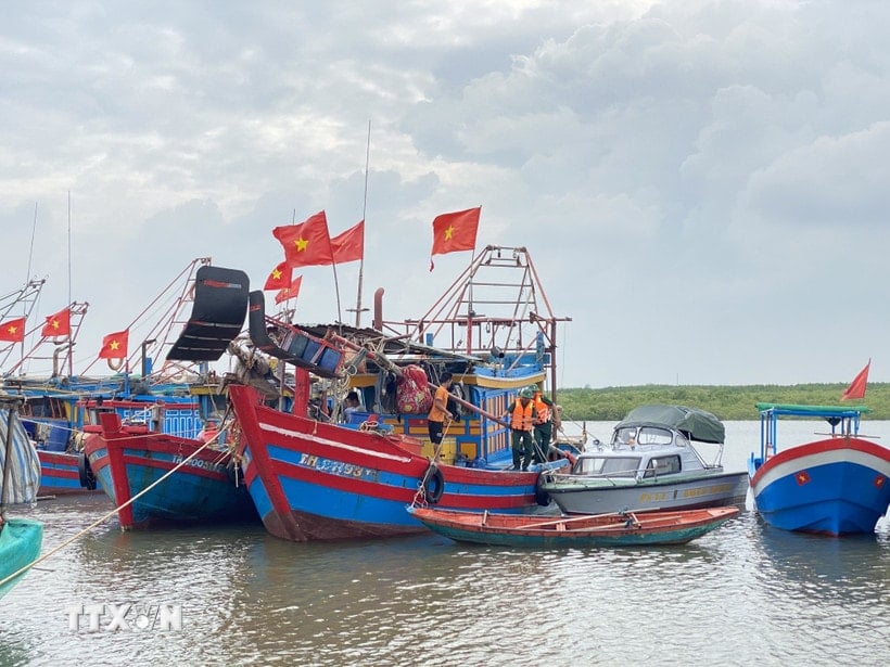
The affected area is the western sea area of the North East Sea (including the Hoang Sa special zone). Disaster risk level 3.
At 7:00 a.m. on August 19, the tropical depression was in the Vietnam-China border area with winds below level 6; moving northwest at a speed of 15 km/h and gradually weakening into a low pressure area. The affected area is the Gulf of Tonkin. Disaster risk level 3.
Due to the impact of the tropical depression, the western sea area of the North East Sea (including the Hoang Sa special zone) has thunderstorms and strong winds of level 6-7, gusts of level 8-9, waves of 2-3.5 m high, and rough seas. From early morning on August 18, the sea area of the Gulf of Tonkin has gradually increased to level 6 winds, gusts of level 8, waves of 2-3 m high, and rough seas.
Ships operating in the above mentioned dangerous areas are likely to be affected by storms, whirlwinds, strong winds and large waves.
PV (synthesis)Source: https://baohaiphong.vn/ap-thap-nhiet-doi-di-chuyen-theo-huong-tay-bac-voi-toc-do-khoang-10-15-km-gio-518352.html


![[Photo] Party and State leaders visit President Ho Chi Minh's Mausoleum and offer incense to commemorate Heroes and Martyrs](https://vphoto.vietnam.vn/thumb/402x226/vietnam/resource/IMAGE/2025/8/17/ca4f4b61522f4945b3715b12ee1ac46c)


![[Photo] General Secretary To Lam and other Party and State leaders attend the ceremony to celebrate the 80th anniversary of the Vietnam People's Public Security Forces' Traditional Day.](https://vphoto.vietnam.vn/thumb/402x226/vietnam/resource/IMAGE/2025/8/17/1f782c0c9f37400d86b29aefbd8a891b)


Comment (0)