

At 10:00 a.m. on July 23, the center of the tropical depression was located in the sea northwest of Luzon Island (Philippines), at coordinates of about 18.1 degrees North latitude - 120.1 degrees East longitude. The strongest wind was level 6, gusting to level 8.
This system moves in the West Southwest direction, at a speed of about 15km/h and tends to strengthen into a storm, continuously changing direction, possibly going out of the East Sea.
It is forecasted that in the next 48 to 72 hours, the storm will move mainly in the Northeast direction, traveling 20-25km per hour and gradually weaken into a tropical depression.
According to Mr. Hoang Phuc Lam, Deputy Director of the National Center for Hydro-Meteorological Forecasting, this tropical depression may not affect mainland Vietnam.
However, the eastern sea of the North East Sea will have strong winds of level 6-7, near the storm center will have strong winds of level 8, gusting to level 10; waves 2-3.5m high. The sea will be rough, posing a danger to ships.
Previously, in the early morning of July 23, the National Center for Hydro-Meteorological Forecasting issued the final information about storm No. 3 (Wipha) after the tropical depression weakened from storm No. 3 and dissolved into a low pressure area over the Vietnam - Laos border area.
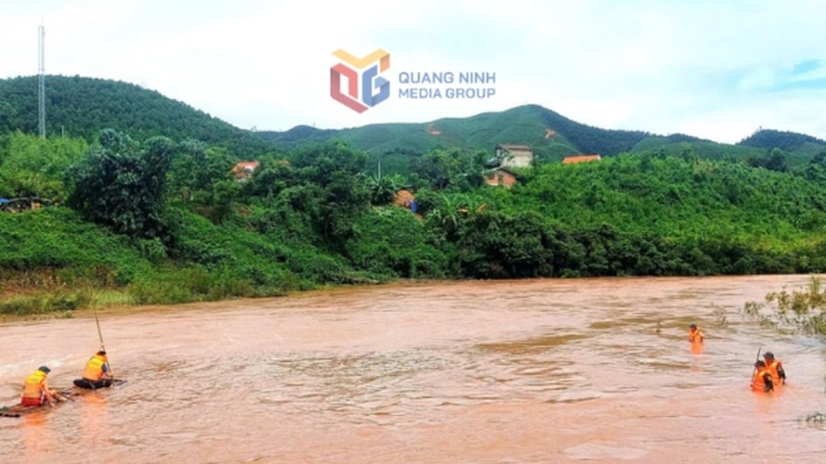
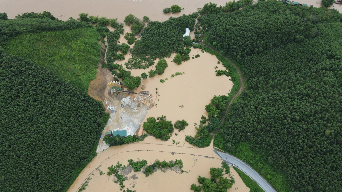
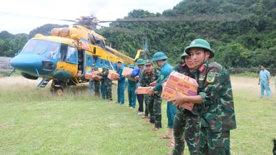
According to preliminary statistics from the Ministry of Agriculture and Environment as of the morning of July 23, floods caused by storm No. 3 have left 1 person missing (body found), 1 person injured in Nghe An province; 420 houses damaged, roofs blown off (Thanh Hoa, Nghe An, Phu Tho); more than 119,000 hectares of rice flooded, the most serious being Ninh Binh (74,017 hectares). A series of dike incidents occurred. Many places in Thanh Hoa and Nghe An were heavily flooded, there are no final statistics on the damage yet...
Source: https://www.sggp.org.vn/bao-so-3-vua-qua-gan-bien-dong-lai-co-ap-thap-nhiet-doi-post805053.html


![[Photo] Signing of cooperation between ministries, branches and localities of Vietnam and Senegal](https://vphoto.vietnam.vn/thumb/1200x675/vietnam/resource/IMAGE/2025/7/24/6147c654b0ae4f2793188e982e272651)


Comment (0)