
 |
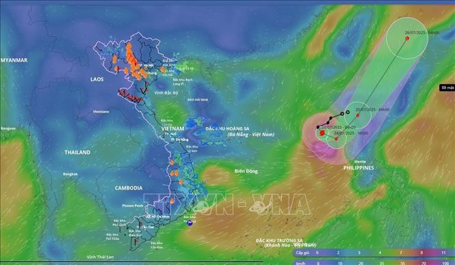
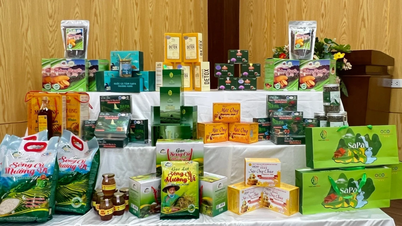
| Location and direction of storm No. 4 at 7:00 a.m., July 24, from the Disaster Monitoring System. Photo: VNA |
According to Director Mai Van Khiem, the eye of the storm is currently at about 16.4 degrees North latitude; 118.4 degrees East longitude, in the eastern sea of the North East Sea area with the strongest wind near the eye of the storm at level 9 (75-88km/h), gusting to level 11; the storm is moving in a South-Southeast direction at a speed of about 15km/h.
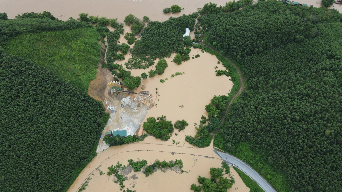
As of 7:00 p.m. on July 24, the storm was moving eastward at a speed of about 10 km/h in the eastern part of the North East Sea. The strongest wind was at level 9-10, gusting to level 12. The affected area was the eastern part of the North East Sea. The disaster risk level was level 3.
At 7:00 a.m. on July 25, the storm was moving northeast at a speed of about 20 km/h in the northern part of Luzon Island (Philippines). The strongest wind was at level 8, gusting to level 10. The affected area was the eastern sea area of the northern part of the East Sea. Disaster risk level was level 3.
At 7:00 a.m. on July 26, the storm moved northeast at a speed of about 25-30 km/h and gradually weakened into a low pressure area.
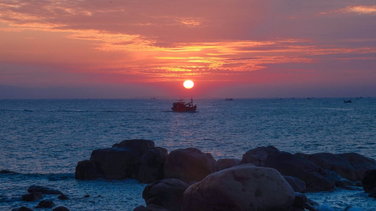
"Due to the impact of the storm, the eastern sea of the North East Sea has strong winds of level 7-8, the area near the storm's center has strong winds of level 9-10, gusts of level 12, waves 4-6m high. The sea is very rough," Mr. Mai Van Khiem noted.
The Director of the National Center for Hydro-Meteorological Forecasting recommends: To ensure safety, functional units coordinate with localities in the sea area affected by the storm to focus on calling and guiding ships (including fishing boats, transport ships, and tourist ships) still operating at sea to escape from dangerous areas or to safe shelters; take measures to ensure safety for people and ships at anchorage areas...
At the same time, functional sectors and localities review and deploy measures to ensure safety for tourism and aquaculture activities at sea, estuaries, and along the coast; resolutely evacuate, not allowing people to stay on cages, rafts, and aquaculture watchtowers before and during the storm.
According to VNA
Source: https://baoapbac.vn/xa-hoi/202507/bao-so-4-co-xu-huong-dich-chuyen-ra-ngoai-bien-dong-1047232/


![[Photo] Signing of cooperation between ministries, branches and localities of Vietnam and Senegal](https://vphoto.vietnam.vn/thumb/1200x675/vietnam/resource/IMAGE/2025/7/24/6147c654b0ae4f2793188e982e272651)


Comment (0)