
Accordingly, the department requested communes, wards; and affiliated crop and plant protection departments and stations to closely monitor the storm situation, focus on instructing people on how to take care of crops, and proactively take measures to respond to the risk of heavy rain and strong winds causing crops to fall and be flooded.
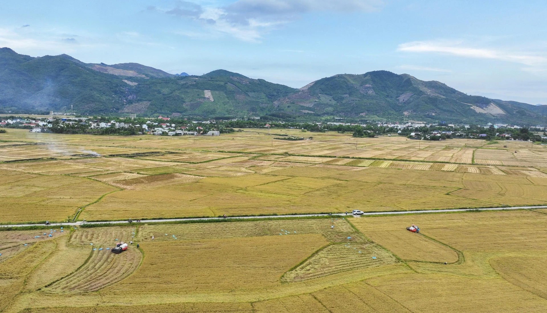 |
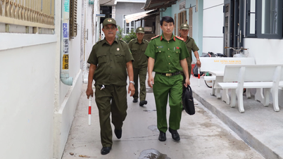
| Rice fields in Dien Khanh commune. |
Specifically, for rice plants, people dig ditches, clear drainage channels; and plant rice plants if they fall over. After the weather clears up, spray additional super potassium foliar fertilizer according to the manufacturer's recommendations to increase the ability to resist lodging, helping the rice plants recover quickly. For vegetables, organize the harvest of agricultural products that are about to be harvested; clear and dredge drainage channels. After the water recedes, clean the fields, hoe and break up the crust, spray pesticides to prevent harmful organisms and apply balanced NPK fertilizer. For heavily flooded areas that do not recover, it is necessary to collect and clean up the residue and prepare the land for planting a new crop.
For fruit trees, harvest early the mature area; prune off young fruit, trim branches to keep the tree airy; tie down trunks and large branches; dig ditches and channels to drain water. After the storm, promptly dig ditches and pump out water for flooded gardens; lightly till and break the topsoil for flooded gardens.
The provincial Department of Crop Production and Plant Protection requires its specialized staff to closely coordinate with localities to monitor and inspect the situation of harmful organisms after storms; advise on production and change the crop structure for the 2025 crop season, ensuring the completion of socio -economic targets and the supply of agricultural products at the end of the year.
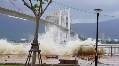
According to the news of Khanh Hoa Province Hydrometeorological Station, at 1:00 p.m. on October 22, storm No. 12 was located in the sea northwest of Hoang Sa special zone, about 230km east-northeast of Da Nang city, the strongest wind near the center of the storm was level 10, gusting to level 12, moving west at a speed of 5-10km/h. It is forecasted that by 1:00 a.m. on October 23, the storm will be about 100km east-northeast of Da Nang city and gradually weaken.
In addition to causing large waves at sea, storm circulation and cold air cause heavy rain in the Central region and are likely to last until the end of October. There is a high risk of flash floods and landslides in mountainous areas, flooding in low-lying areas and urban areas.
H.D
Source: https://baokhanhhoa.vn/kinh-te/nong-nghiep-nong-thon-moi/202510/bao-ve-cay-trong-truoc-nguy-co-anh-huong-cua-bao-so-12-fc76276/
![[Photo] Prime Minister Pham Minh Chinh chairs meeting on nuclear power plant construction](https://vphoto.vietnam.vn/thumb/1200x675/vietnam/resource/IMAGE/2025/10/22/1761137852450_dsc-9299-jpg.webp)


Comment (0)