

Map of the epicenter of a 4.5 magnitude earthquake.
Specifically, the first earthquake, with a magnitude of 4.5, occurred at 1:36:26 AM ( Hanoi time) on September 11th, at coordinates 14.900 degrees North latitude and 108.256 degrees East longitude, with a focal depth of approximately 8.1 km. The natural disaster risk level is 1.
The second earthquake, with a magnitude of 2.8, occurred at 2:30:03 AM (Hanoi time) on September 11th, at coordinates 14.913 degrees North latitude and 108.256 degrees East longitude, with a focal depth of approximately 8.2 km. The natural disaster risk level is 0.
The third earthquake, with a magnitude of 2.7, occurred at 3:24:52 AM (Hanoi time) on September 11th, at coordinates 14.906 degrees North latitude and 108.274 degrees East longitude, with a focal depth of approximately 8.1 km. The natural disaster risk level is 0.
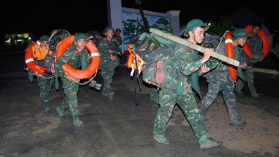
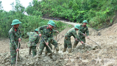
From 2021 to the present, hundreds of earthquakes have been recorded in Quang Ngai (the area of the former Kon Tum province, concentrated in the former Kon Plong district), including earthquakes that caused widespread tremors. The largest was the earthquake on the afternoon of July 28, 2024, with a magnitude of 5.0; before that, on August 23, 2022, there was an earthquake with a magnitude of 4.7.
According to Mr. Nguyen Xuan Anh, Director of the Earthquake Information and Tsunami Warning Center (Institute of Earth Sciences ), induced earthquakes are the cause of recent earthquakes in the former Kon Tum province.
According to preliminary studies, earthquakes in the former Kon Tum area are predicted to continue in the near future, but are unlikely to exceed 5.5 magnitude. However, more detailed studies are still needed to assess seismic activity in this region.
Thu Giang
Source: https://baochinhphu.vn/dong-dat-45-do-tai-xa-mang-but-tinh-quang-ngai-102250911085523256.htm


![[Image] Central Party Office summarizes work in 2025](/_next/image?url=https%3A%2F%2Fvphoto.vietnam.vn%2Fthumb%2F1200x675%2Fvietnam%2Fresource%2FIMAGE%2F2025%2F12%2F18%2F1766065572073_vptw-hoi-nghi-tong-ket-89-1204-jpg.webp&w=3840&q=75)


![[Video] Launch of two books on history and heritage preservation](https://vphoto.vietnam.vn/thumb/402x226/vietnam/resource/IMAGE/2025/12/18/1766072185865_2663241292917005256-4230-jpg.webp)


Comment (0)