

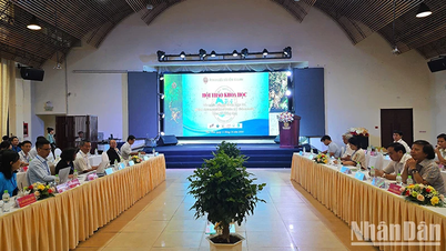
Mr. Do Duc Dung - Director of the Southern Institute of Water Resources Planning - spoke at the workshop - Photo: TRUNG PHAM
On the afternoon of April 24, in Can Tho City, the Southern Institute of Water Resources Planning in collaboration with the International Union for Conservation of Nature Vietnam (IUCN) organized a workshop on "Current status of coastal protection and the possibility of applying mixed nature-based solutions to enhance resilience to climate change".
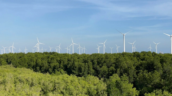
At the workshop, Mr. Do Duc Dung - Director of the Southern Institute of Water Resources Planning - said that coastal erosion and mangrove forest degradation are becoming increasingly complex, causing the loss of hundreds of hectares of land and forest each year, reducing the natural "green shield" protecting the dike and the community.
According to Mr. Dung, during the field survey and consultation in 5 provinces (Tien Giang, Ben Tre, Tra Vinh, Soc Trang and Bac Lieu ) recently carried out by the unit, it was shown that the sea dike system in many places has been invested in and upgraded, but many sections still need to be completed; the forms of coastal protection works are very diverse but the effectiveness is not uniform.
In addition, coastal protection forests are seriously degraded, many sections of thin forest belts do not have the minimum thickness to protect the dike, and forest restoration is also difficult...
And even aquaculture in coastal areas still lacks a sustainable production model that is economically efficient while preserving and protecting the environment. Not to mention that current production models are leading to potential pollution accumulation here.
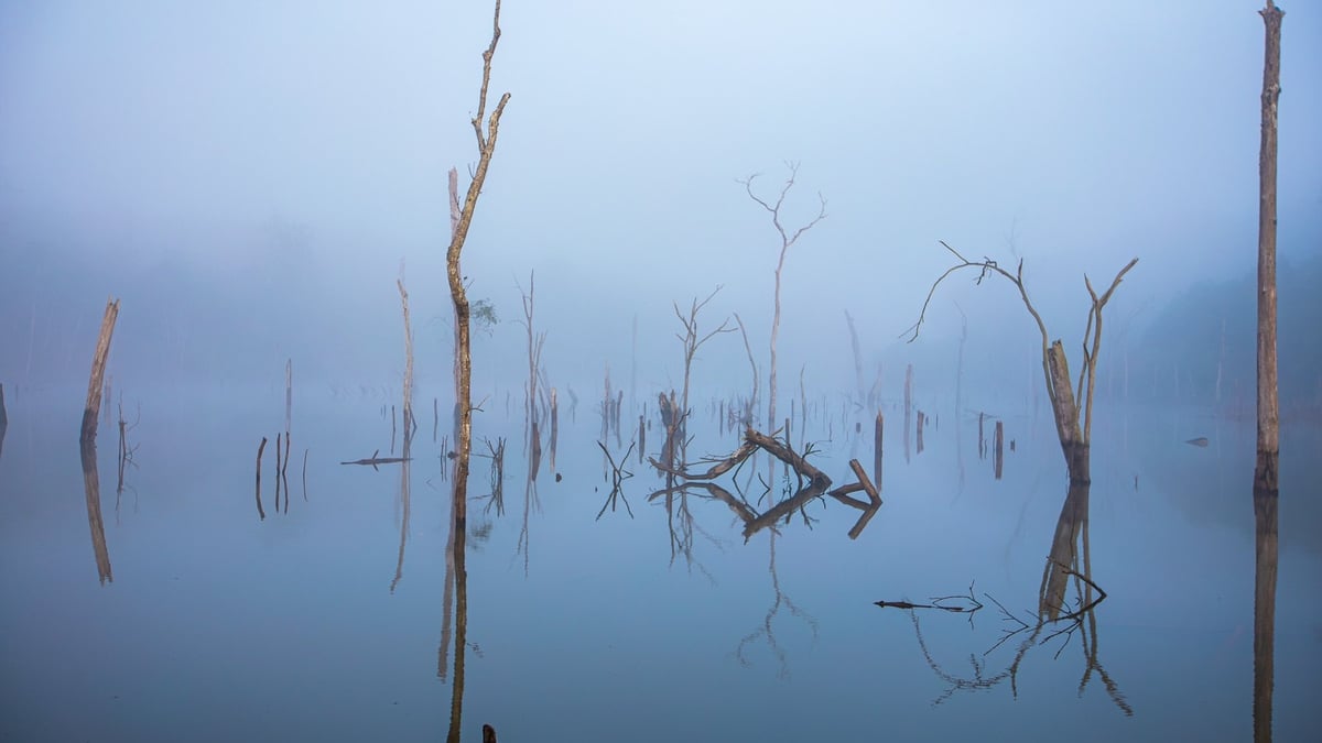
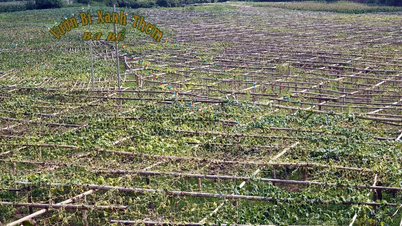
Bac Lieu coastal protection forest - Photo: PHAN THANH CUONG
Mr. Tran Quang Tho - Head of the Mekong Delta Irrigation Planning Department ( Southern Institute of Irrigation Planning) - added that out of the 450km of coastline of the 5 provinces mentioned above, the area of frequent erosion is about 50.8km, with many areas of forest belts severely degraded such as in Go Cong Dong (Tien Giang) or the border area of Bac Lieu - Soc Trang.
Regarding the solution, Mr. Tho said, "mangrove planting efforts are of interest to many international and local organizations and units. Through a recent survey, we found that successful models often systematically combine forest planting with appropriate solutions to create and maintain suitable beaches, with appropriate support policies, forest exploitation, and forest management."
Similarly, Mr. Pham Trong Thinh, former deputy director of the Southern Forest Planning and Investigation Institute, proposed that it is necessary to identify and divide coastal areas because each region has very different geomorphology and hydrology, leading to different structures and design requirements for the project. On that basis, appropriate "hard and soft embankments" can be built.
Source: https://tuoitre.vn/moi-nam-dong-bang-song-cuu-long-mat-hang-tram-hecta-dat-va-rung-ven-bien-20250424164118342.htm

![[Photo] National Assembly Chairman Tran Thanh Man meets with Thai Prime Minister Paetongtarn Shinawatra](https://vphoto.vietnam.vn/thumb/1200x675/vietnam/resource/IMAGE/2025/5/15/e71160b1572a457395f2816d84a18b45)

![[Photo] Prime Ministers of Vietnam and Thailand visit the Exhibition of traditional handicraft products](https://vphoto.vietnam.vn/thumb/1200x675/vietnam/resource/IMAGE/2025/5/15/6cfcd1c23b3e4a238b7fcf93c91a65dd)


![[Video] Solutions to support businesses in digital transformation on the Business Portal](https://vphoto.vietnam.vn/thumb/402x226/vietnam/resource/IMAGE/2025/5/15/fee29cfb3a534b4e95037e0b2a4391a6)


Comment (0)