
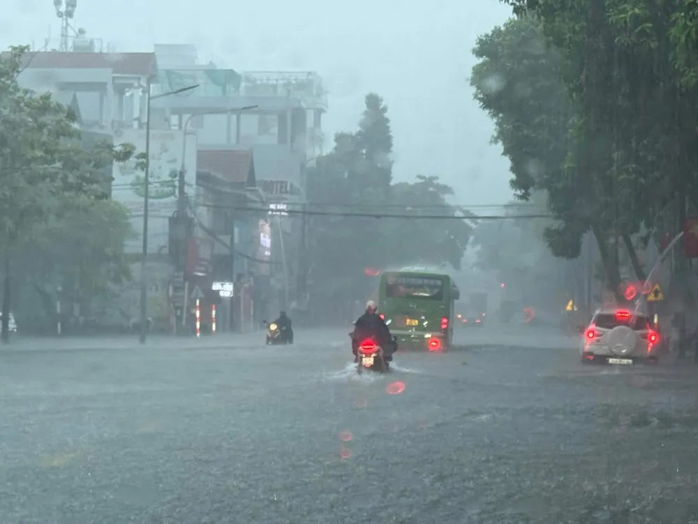
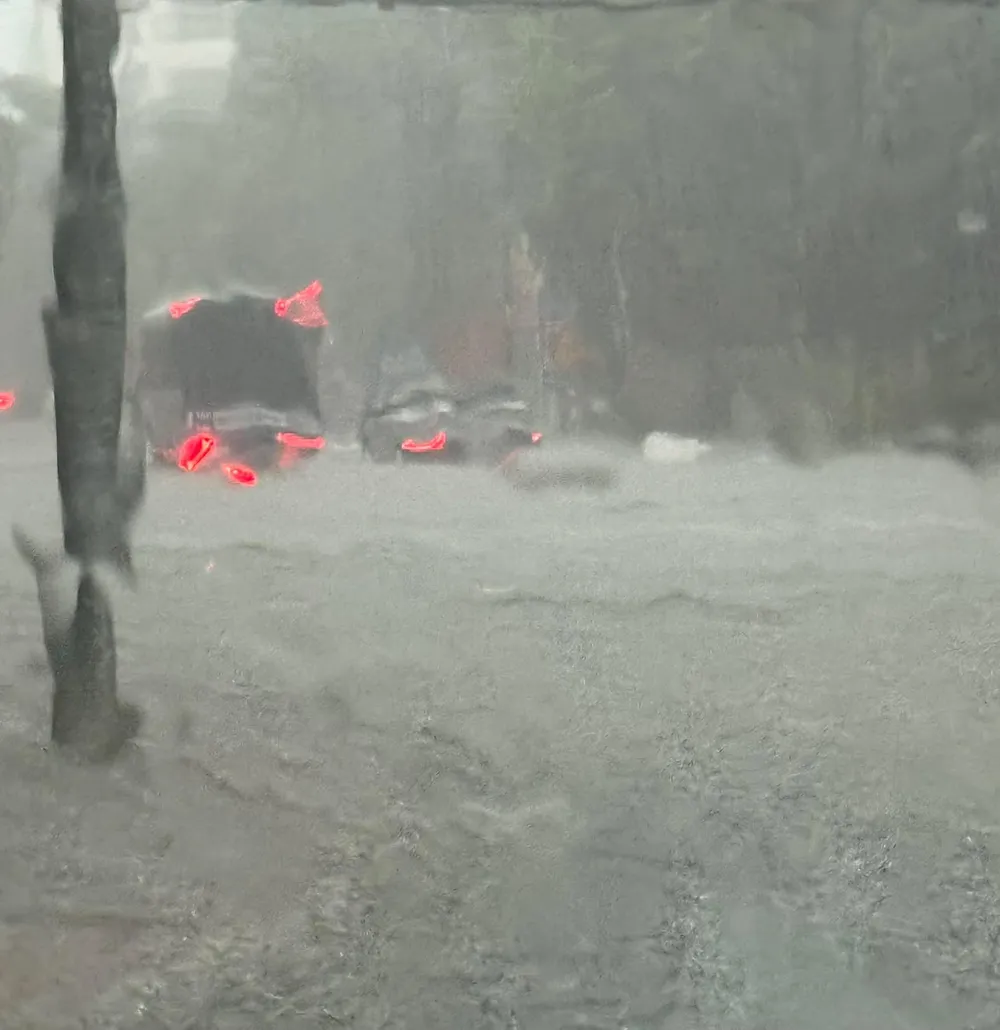
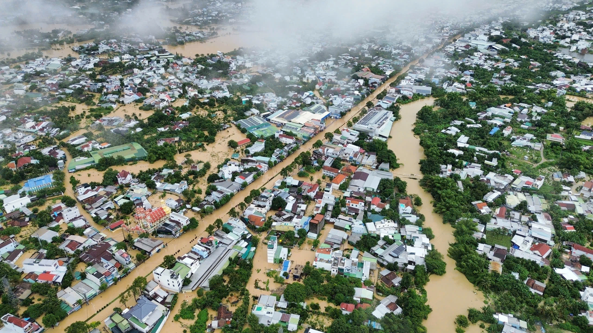
From the night of October 6 to the morning of October 7, heavy rain continuously poured down on many provinces and cities in the North, causing the water level on Cau River, Thuong River, Luc Nam River and rivers in Cao Bang and Lang Son to rise very rapidly.
Some meteorological stations have had extremely heavy rainfall, such as Hoa Thuong station (Thai Nguyen) up to 437mm, Bo Ha station (Bac Ninh) over 250mm. Particularly Thai Nguyen, Bac Ninh, Hanoi and Thanh Hoa have had heavy to very heavy rain, many places are locally flooded.
According to the National Center for Hydro-Meteorological Forecasting, on the morning of October 7, the water level at Cau River, Gia Bay Station (Thai Nguyen) reached 26.74m (exceeding alert level 2 by 0.74m); at Dap Cau (Bac Ninh) 4.42m (above alert level 1 by 0.12m). Thuong River at Phu Lang Thuong (Bac Giang) rose to 4.86m (higher than alert level 1 by 0.56m). The hydrological monitoring agency forecasts that from now until October 10, the flood will continue to rise, with the flood peak on these rivers likely to exceed alert level 3, and "exceptionally large floods" may occur (according to the latest bulletin of the National Center for Hydro-Meteorological Forecasting).
In Lang Son, Cao Bang, Quang Ninh provinces... the flood peak will reach alert levels 2 to 3. Thao River, Lo River, Hoa Binh Lake and the lower reaches of the Red River in Hanoi will also rise, in some places exceeding alert level 1. Currently, the meteorological and hydrological agency has classified the natural disaster risk level at level 3. The risk of deep flooding in low-lying areas along rivers and urban areas in the North is very high, and flash floods and landslides may occur in mountainous areas.


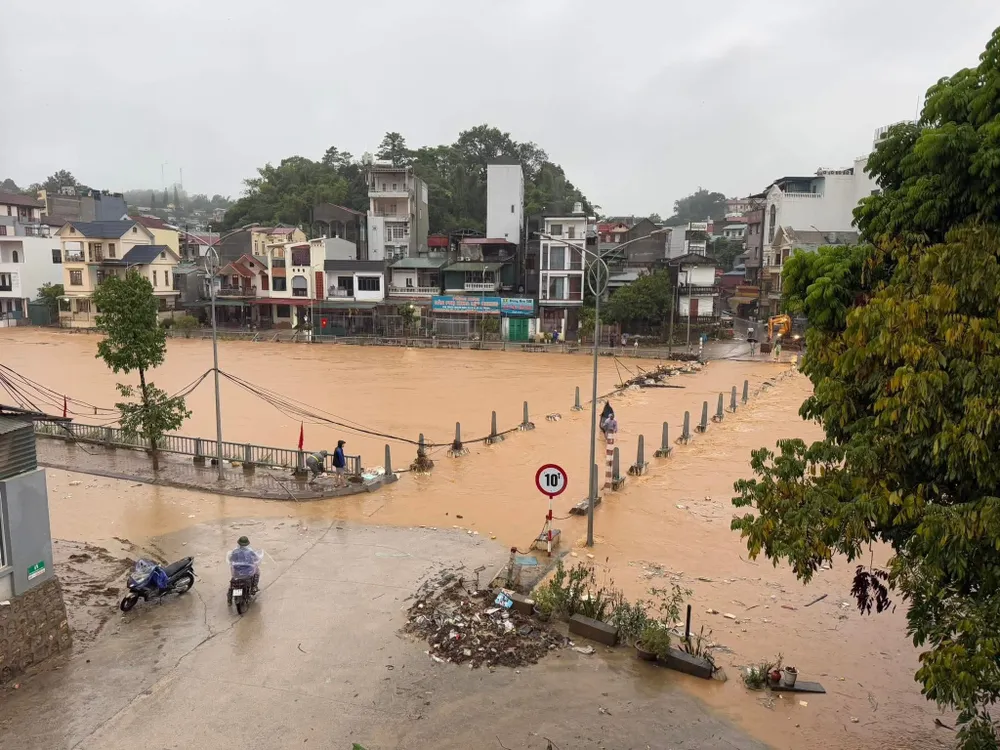
In the next 24 to 48 hours, Hanoi, Thai Nguyen, Bac Ninh will continue to have heavy rain of 60-120mm, some places over 250mm. The mountainous and midland areas of the North will have common rain of 40-100mm, the plains and Thanh Hoa 30-60mm, some places over 150mm. Nghe An and Ha Tinh will also have showers and thunderstorms, locally heavy rain over 70mm. Warning of extremely heavy rain can reach over 150mm in just 3 hours, easily causing rapid flooding.

Updated as of 9am this morning, October 7, Hanoi is still raining, the sky is dark, there is thunder and lightning...
Source: https://www.sggp.org.vn/mua-gio-bao-trum-mien-bac-nguy-co-lu-dac-biet-lon-post816710.html


























Comment (0)