
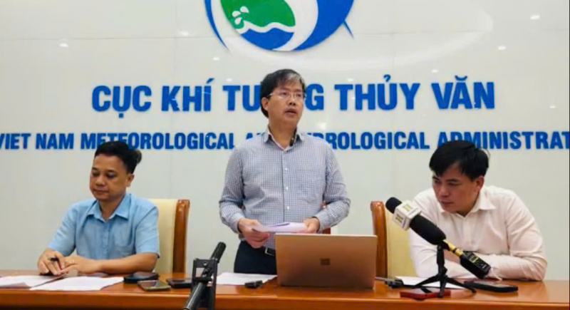
On the evening of July 21, Mr. Mai Van Khiem, Director of the National Center for Hydro-Meteorological Forecasting, said that compared to the forecast 3-4 days ago, today, July 21, storm No. 3 was "lucky" when it made landfall in mainland China. The storm has decreased by 3 levels, from level 12 to level 9.
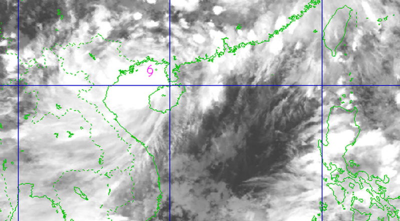
Initially, experts predicted that the storm would enter the Gulf of Tonkin at level 10, but this afternoon when it entered the area, it was level 9, one level lower than the initial forecast.
By early this afternoon, the storm was trending further south and had strengthened by about one level. It is forecasted that the storm will continue to strengthen and may reach level 10-11 before making landfall in the area south of Hai Phong - north of Thanh Hoa.
"However, in the past 2 hours, the center of storm No. 3 has barely moved," Mr. Khiem emphasized this and said that the Center will closely monitor developments. If there are other unusual developments, it will promptly provide information to warn.
Explaining further whether it is unusual for the storm to have remained almost motionless for the past two hours, Mr. Khiem said: "Some previous storms also had this phenomenon, which could be a sign of the storm changing direction. However, hydrometeorological forecasting stations have not recorded any change in direction or unusual developments of storm Wipha."
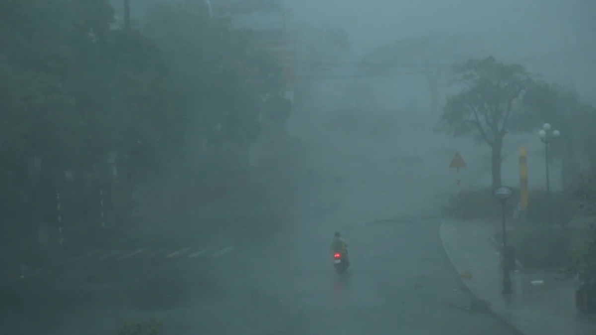
The Director of the National Center for Hydro-Meteorological Forecasting predicts that from 10am to 3pm on July 22, the storm will make landfall in the provinces from Hai Phong to North Thanh Hoa . This is the most dangerous time, the storm center has strong winds of level 10-11, gusting to level 13-14.
Accordingly, the coastal areas of Hai Phong and Hung Yen (formerly Thai Binh ) tomorrow afternoon will have winds of level 9-10, gusting to level 13-14; the coastal areas of Ninh Binh will have winds of level 8-9, gusting to level 13; the coastal areas of Thanh Hoa (concentrated in the North) will have winds of level 7-8, gusting to level 8-9; Hanoi will have strong winds of level 5-6, gusting to level 7-8.
In addition, high tides (including storm surges) are also forecast to occur on the afternoon of July 22. Accordingly, at Ba Lat (Hung Yen), the tide will be 2.4-2.6m high; at Hon Dau (Hai Phong), it will be 3.9-4.3m high; at Cua Ong (Quang Ninh), it will be 4.6-5.0m high; and at Tra Co (Quang Ninh), it will be 3.6-4m high.
The Director of the National Center for Hydro-Meteorological Forecasting also said that the storm's circulation is very wide, it has not yet entered the Gulf of Tonkin but many places have had rain since the afternoon of July 20. From noon to this afternoon, the Quang Ninh area has had very heavy rain ranging from 170-200mm, accompanied by strong winds of level 8, gusting to level 9.
Tonight to tomorrow morning, Bach Long Vi island area will have strong winds of level 8-9, gusting to level 10; coastal areas of Quang Ninh will have strong winds of level 9-10.
It is forecasted that from tonight until 9am tomorrow morning, the Northern and North Central regions will have widespread heavy rain, focusing on the provinces of Hung Yen, Ninh Binh, the Southern Phu Tho region, Thanh Hoa, Nghe An, with average rainfall of 200-350mm, locally over 600mm. Other places in the Northern region and Ha Tinh will have moderate rain, heavy rain, locally very heavy rain and thunderstorms with average rainfall of 100-200mm, locally over 300mm.
The leaders of the National Center for Hydro-Meteorological Forecasting warn of the risk of heavy rain (>150mm/3h). Heavy rain in a short period of time can cause flash floods, landslides in mountainous areas, and flooding in low-lying areas.
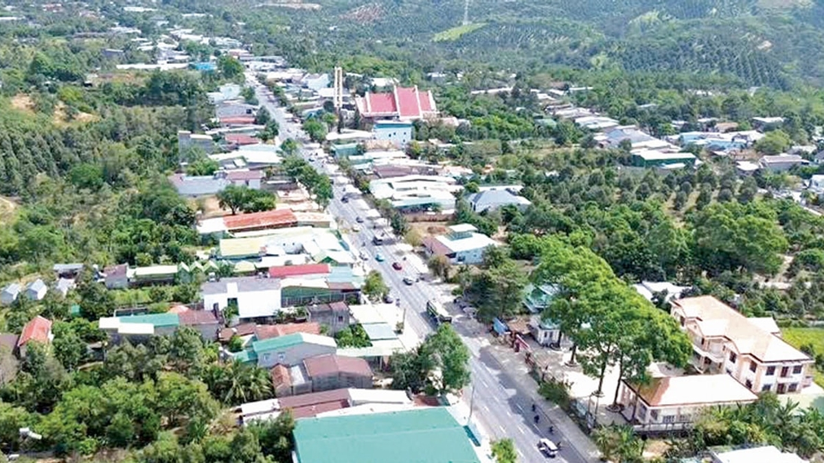
During the storm, there is also a risk of flash floods and landslides, especially after the storm passes through 50 communes in the mountainous area of Thanh Hoa, 20 communes in the mountainous area of Nghe An and some communes in Son La.
Source: https://cand.com.vn/Xa-hoi/trua-ngay-22-7-bao-so-3-do-bo-tu-hai-phong-den-thanh-hoa-i775508/


![[Photo] National Assembly Chairman Tran Thanh Man visits Vietnamese Heroic Mother Ta Thi Tran](https://vphoto.vietnam.vn/thumb/1200x675/vietnam/resource/IMAGE/2025/7/20/765c0bd057dd44ad83ab89fe0255b783)


Comment (0)