

Urgent request
After the merger, the travel needs of people, especially the staff, civil servants, and employees of agencies and units from the West to the East of Hai Phong to work increased. Currently, traffic connecting the West with the East of the city is mainly through the main routes of National Highway 5, National Highway 17B and the Hanoi - Hai Phong Expressway. In addition, there are also regional connecting routes such as: Dinh Bridge connecting with Provincial Road 352; Quang Thanh Bridge connecting Provincial Road 390 with Provincial Road 360...
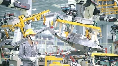
While the Hanoi - Hai Phong expressway has a long distance and high transportation costs, National Highway 5 currently attracts a large number of container trucks and trucks, exceeding the design capacity by 5-6 times, causing frequent traffic jams and complicated traffic accidents. Many drivers on National Highway 5 feel fed up with the situation of trucks and container trucks tailgating each other, causing traffic jams and environmental pollution. An official currently working at the Department of Construction said that every day he drives his personal car on National Highway 5 from the old Hai Duong city to work at the city's Political - Administrative Center in the North of Cam River. The travel time is from 70 to 80 minutes. On many days when the road is congested, the waiting time is long and very tiring.
Mr. Le Trac Toan, a service car driver in An Duong ward, shared that he had no choice but to travel on the old National Highway 5. Every time he carries passengers on this route, the driver is always stressed because the road has a large traffic volume, most of which are trucks, passenger cars, container trucks... Just a lack of concentration can lead to collisions and traffic accidents.
.jpg)
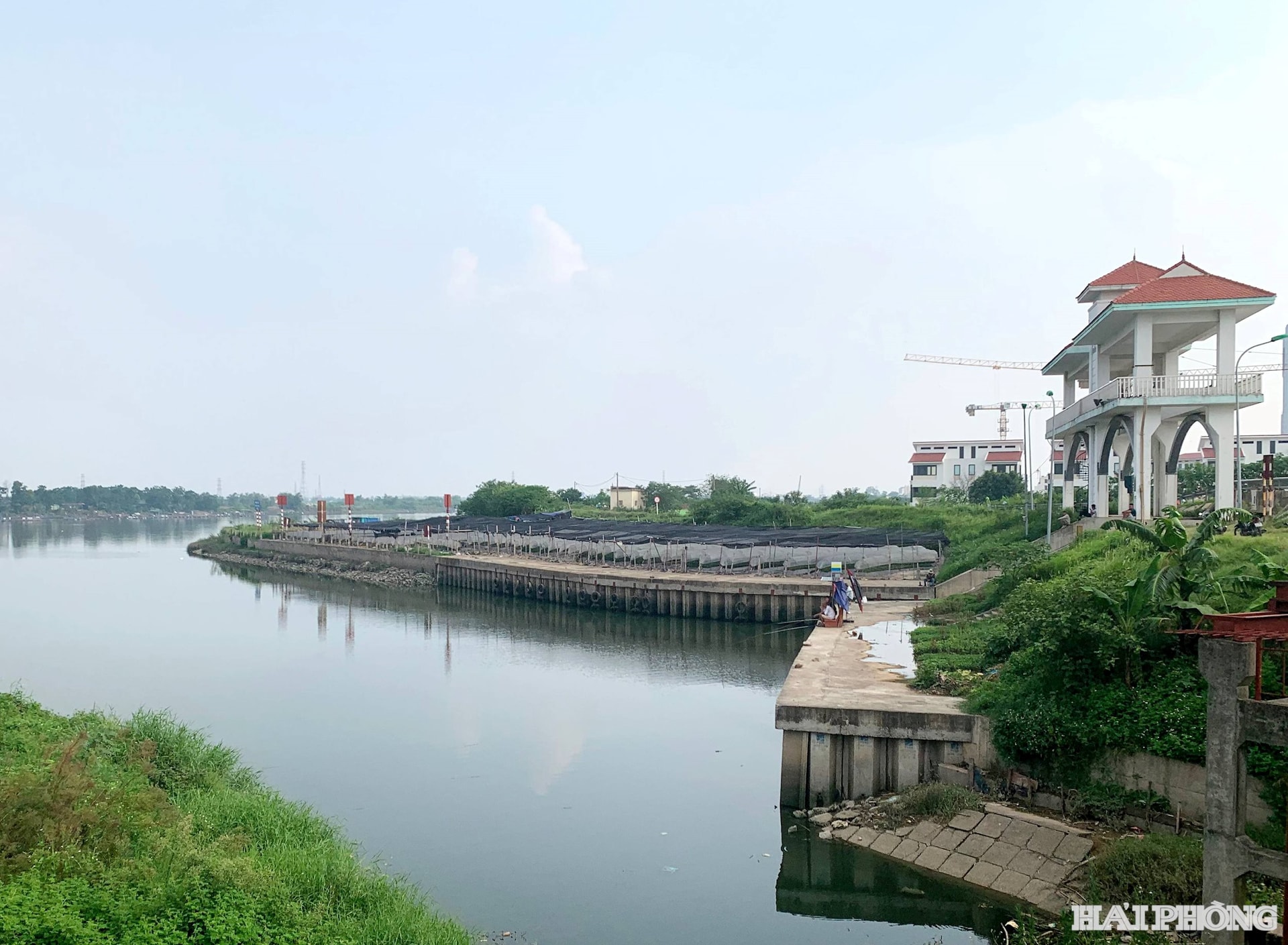
To “avoid” National Highway 5, some drivers choose to travel along the route: Provincial Road 390 through Quang Thanh Bridge to Provincial Road 360 or through Dinh Bridge to Provincial Road 352 to reach the City’s Political-Administrative Center. However, because the traffic network here does not meet the requirements, many sections are narrow, passing through densely populated areas… it is not convenient.
After the merger, the demand for travel between the center of the East and West of the city is increasing, creating an urgent need to quickly invest in building a new traffic axis with the shortest distance and fastest travel time. Not only convenient for travel but also expanding the urban area, increasing regional connectivity, developing the economy synchronously...
.jpg)
Bringing Hai Phong to develop in line with vision and aspiration
According to the representative of the city's Department of Construction, after consulting and surveying, the Department advised the City People's Committee on the investment plan to build a high-speed road connecting the East-West of Hai Phong city (connecting National Highway 10 with the old Hai Duong City Ring Road 1) with a length of 23.5 km; the cross-section of the roadbed is 68 m. The starting point is at the intersection between the old Hai Duong City Ring Road 1 and the Bui Thi Xuan Bridge approach road going to the East, connecting with Provincial Road 390. The end point is at the intersection of National Highway 10 with the current Nguyen Truong To Street (adjacent to An Duong Industrial Park). The estimated investment cost for the construction of the road is 19,129 billion VND, of which the cost of site clearance is 4,537 billion VND.
At the recent survey and report on the investment plan for the East-West high-speed route connecting the city, comrade Le Anh Quan, Standing Vice Chairman of the City People's Committee, affirmed that the investment in the route is extremely necessary and has been included by the City Party Committee - People's Council - People's Committee in the list of key projects to be implemented in the period of 2026-2030. The route is not only a purely traffic project but also has political and cultural significance, enhancing connectivity between regions, and expanding the urban space of the city after the merger. The city is consistent in its view of investing in the route with the function of a high-speed urban axis, modern scale, meeting the long-term vision.
The investment in the high-speed route connecting the East and West of the city has become urgent and cannot be delayed. However, the challenge is the method of project investment. Because the investment scale of up to 19,129 billion VND is very large.
To implement the above project, careful preparation and certain priorities are required. If investing in the form of BT (or BT combined with budget), it is necessary to select an investor with sufficient financial, technological and experience potential to meet the "urgent" requirements of the project. One option considered is to borrow ODA capital or the Korean Economic Development Cooperation Fund (EDCF) to implement the project.
Faced with the particularly important and urgent East-West connection project, the city needs to have bold and breakthrough decisions to develop Hai Phong in line with the vision, aspirations and expectations of the people. In particular, making the most of the mechanisms and policies in Resolution 226 of the National Assembly on piloting a number of specific mechanisms and policies for the development of Hai Phong city; Resolution 68 on private economic development as well as the support of the Central Government to become a "lever" and "iron punch" for the project to be soon implemented and organized for construction to meet the expectations of the city's people.
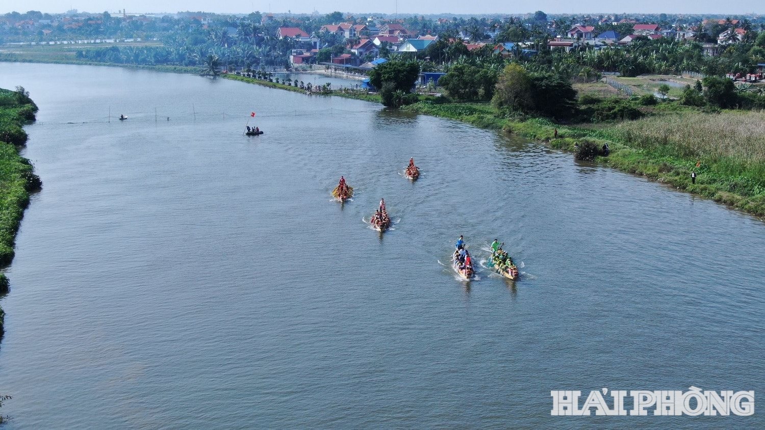
The route is expected to connect from Provincial Road 390 across the Huong River (avoiding the core residential area of the old Thanh Ha town to exploit new land funds), intersect with Provincial Road 390B and the bypass route of Provincial Road 390B under construction. The route continues to intersect with the newly planned Provincial Road 388 (the route connecting National Highway 18 with the Hanoi - Hai Phong Expressway), cross the Rang River (through the Kim Thanh 2 Industrial Park - Phase 1), cross the East-West axis, cross the Co Bong River and cross National Highway 17B to connect to the section adjacent to the An Duong Industrial Park.
Source: https://baohaiphong.vn/tuyen-duong-ngan-nhat-ket-noi-dong-tay-hai-phong-519253.html


![[Photo] General Secretary To Lam attends the opening ceremony of the National Achievements Exhibition](https://vphoto.vietnam.vn/thumb/1200x675/vietnam/resource/IMAGE/2025/8/28/d371751d37634474bb3d91c6f701be7f)
![[Photo] National Assembly Chairman Tran Thanh Man holds talks with New Zealand Parliament Chairman](https://vphoto.vietnam.vn/thumb/1200x675/vietnam/resource/IMAGE/2025/8/28/c90fcbe09a1d4a028b7623ae366b741d)


![[Photo] Politburo works with the Standing Committee of Cao Bang Provincial Party Committee and Hue City Party Committee](https://vphoto.vietnam.vn/thumb/1200x675/vietnam/resource/IMAGE/2025/8/28/fee8a847b1ff45188749eb0299c512b2)


Comment (0)