

Map of the epicenter of the earthquake that occurred at 4:35 a.m. on May 26 in Nam Tra My district, Quang Nam province
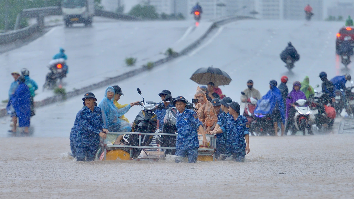
Specifically, on May 25, there were 8 earthquakes; on the morning of May 26, 5 more earthquakes were recorded. All earthquakes have a natural disaster risk level of 0.
Of which, the largest earthquake occurred at about 11:57 a.m. (Hanoi time) on May 25 in Kon Plong district, Kon Tum province, with coordinates 15.001 degrees North latitude, 108.154 degrees East longitude, and a focal depth of about 8.1 km.
The most recent earthquake was recorded at 4:35 a.m. in Nam Tra My district, Quang Nam province, with a magnitude of 2.6; coordinates 15.030 degrees North latitude - 108.125 degrees East longitude, depth of about 8.1 km.
In Vietnam, earthquakes of 2-3 and 3-4 magnitude are considered weak earthquakes. When an earthquake of 2-3 magnitude occurs, some people feel very light vibrations, causing no damage to buildings.
Dr. Nguyen Xuan Anh, Deputy Director of the Institute of Earth Sciences (Vietnam Academy of Science and Technology) said that the above earthquakes were all stimulated earthquakes, caused by the water accumulation process of the hydroelectric reservoir affecting the active fault system below.
Since April 2021, hundreds of earthquakes have occurred in the Kon Tum and Quang Nam regions, especially concentrated in Kon Plong and Nam Tra My districts, many of which caused felt tremors. The strongest earthquake in this area occurred at noon on July 28, 2024, with a magnitude of 5.0.
It is forecasted that seismic activity here will continue in the coming time, but it is difficult to exceed the magnitude threshold of 5.5. It is necessary to carry out in-depth research to more fully assess earthquakes in this area.
Thu Giang
Source: https://baochinhphu.vn/xay-ra-13-tran-dong-dat-tai-quang-nam-va-kon-tum-102250526125747129.htm


![[Photo] Prime Minister Pham Minh Chinh chairs the 16th meeting of the National Steering Committee on combating illegal fishing.](https://vphoto.vietnam.vn/thumb/1200x675/vietnam/resource/IMAGE/2025/10/07/1759848378556_dsc-9253-jpg.webp)


![[Photo] Super harvest moon shines brightly on Mid-Autumn Festival night around the world](https://vphoto.vietnam.vn/thumb/1200x675/vietnam/resource/IMAGE/2025/10/07/1759816565798_1759814567021-jpg.webp)


Comment (0)