
According to the Vinh Long Province Hydrometeorological Station, at 7:00 a.m. on July 21, the center of the storm was located at about 21.3 degrees North latitude; 109.9 degrees East longitude, in the northern area of Leizhou Peninsula (China), about 220km east of Quang Ninh - Hai Phong .
The strongest wind near the storm center is level 9 (75 - 88 km/h), gusting to level 11; moving in the West Southwest direction at a speed of 15 - 20 km/h.
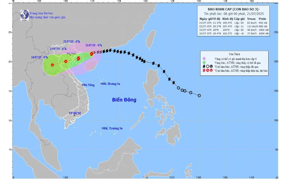 |
| Forecast map of storm No. 3's trajectory and intensity released at 8:00 a.m. on July 21. |
Forecast of storm impact in the next 24 - 72 hours: strong winds, big waves, rising water on shores and mainland provinces from Hai Phong to Nghe An .
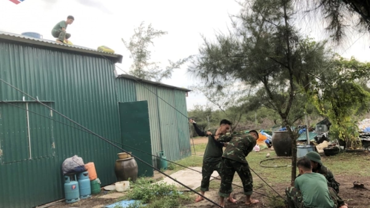
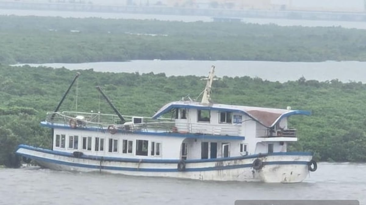
Warning: The weather at sea and in coastal areas during the storm is extremely dangerous and unsafe for any vehicles or structures operating in the danger zone such as: cruise ships, passenger ships, cargo ships, cages, rafts, aquaculture areas, dykes, embankments, coastal routes. Vehicles are at high risk of capsizing, destruction, and flooding due to strong winds, storms, whirlwinds, large waves, and rising sea levels.
On land: From the evening and night of July 21, coastal areas from Quang Ninh to Nghe An will have winds gradually increasing to level 7 - 9, near the storm center level 10 - 11, gusting to level 14; deep areas; inland strong winds level 6, gusting to level 7 - 8. Winds of level 10 - 11 can knock down trees, electric poles, and blow off roofs, causing very heavy damage.
From July 21 to 23, in the Northeast region, the Northern Delta, Thanh Hoa and Nghe An, there will be heavy to very heavy rain and thunderstorms with common rainfall of 200 - 350mm, locally over 600mm; other places in the Northern region and Ha Tinh will have moderate rain, heavy rain, locally very heavy rain and thunderstorms with common rainfall of 100 - 200mm, locally over 300mm. Warning of the risk of heavy rain (>150mm/3h). Heavy rain in a short period of time can cause flash floods, landslides in mountainous areas, and flooding in low-lying areas.
Weather in Vinh Long province: in the next 24 hours, the sky will be cloudy, sometimes less cloudy and sunny during the day, with rain in about half of the area and thunderstorms in some places (rainy areas are concentrated in Vinh Long province and the west of old Ben Tre), little rain at night. During thunderstorms, beware of strong gusts of wind and tornadoes. Southwest wind level 2, coastal wind level 3 at times.
Weather in Vinh Long sea area: in the next 24 hours, the sky will be cloudy, with showers and thunderstorms in the evening. Southwest wind level 5, offshore level 6, gusts 7 - 8, waves 1.5 - 3m high, rough sea.
Ships operating at sea regularly monitor and update the location and path of storms to have direction of movement and find safe shelter.
News and photos: THAO LY
Source: https://baovinhlong.com.vn/thoi-su/202507/anh-huong-bao-so-3-canh-bao-thoi-tiet-ngoai-khoi-vung-bien-vinh-long-gio-cap-6-giat-7-8-dab11b7/


![[Photo] National Assembly Chairman Tran Thanh Man visits Vietnamese Heroic Mother Ta Thi Tran](https://vphoto.vietnam.vn/thumb/1200x675/vietnam/resource/IMAGE/2025/7/20/765c0bd057dd44ad83ab89fe0255b783)


Comment (0)