
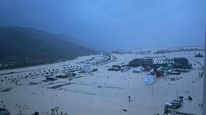
Accordingly, the water level at 5:00 p.m. on November 18 at the stations was as follows: Dong Trang hydrological station was 7.34m, 0.66m below alarm level 1, at Dien Phu station it was 5.02m, 0.02m above alarm level 2.
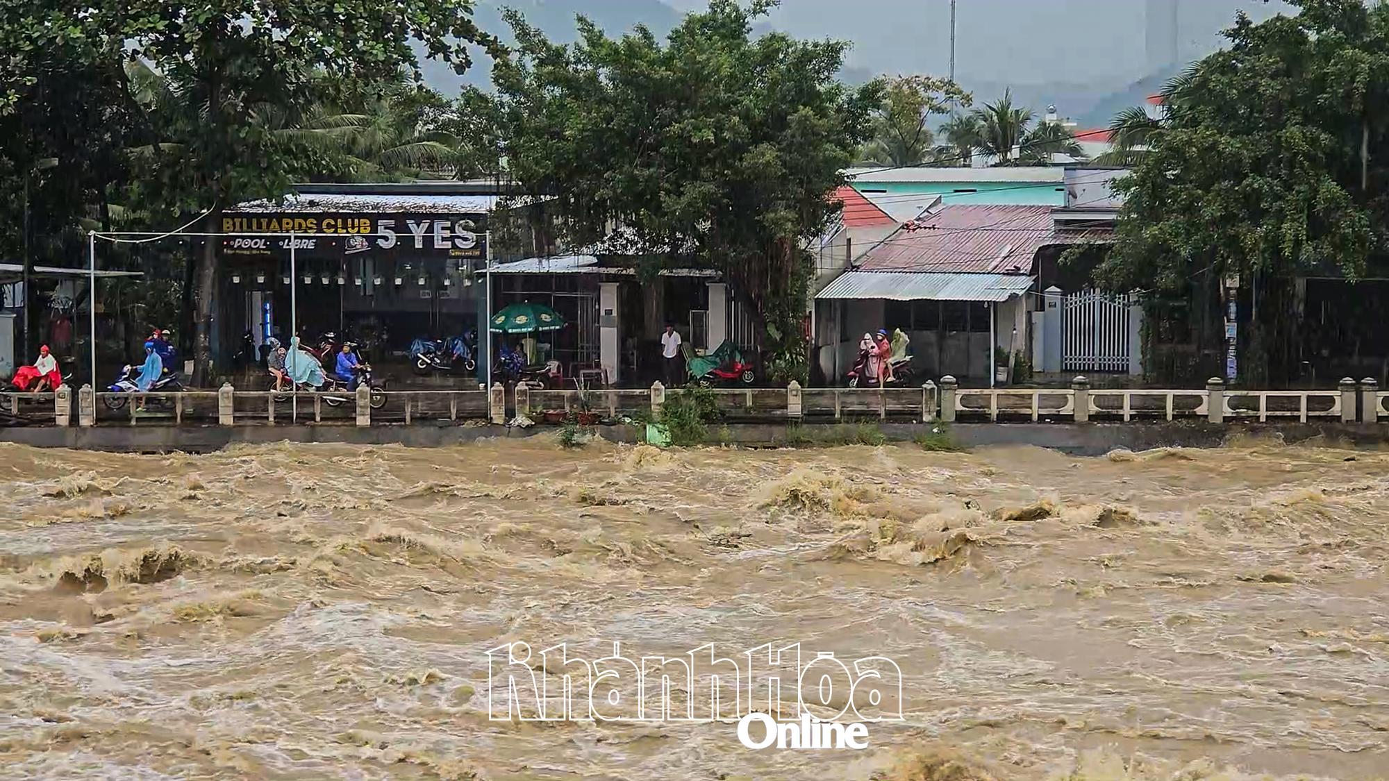 |
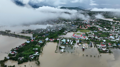
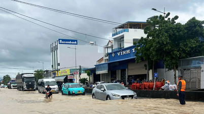
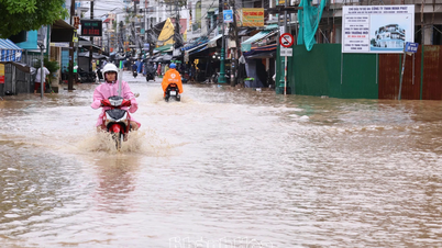
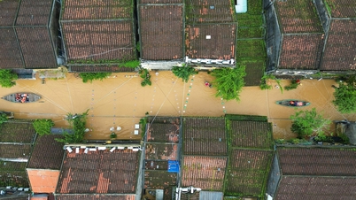
| Floods on Cai Nha Trang River are rising and are forecast to peak at level 3. |
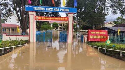
It is forecasted that in the next 24 hours, the flood on Cai Nha Trang River will continue to rise and peak in the next 7-14 hours; the flood peak at Dong Trang Hydrological Station and Dien Phu Station will be 0.1-0.5m above alert level 3. Other rivers and streams in the province are likely to experience floods at alert levels 2-3, with some rivers above alert level 3.
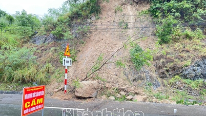
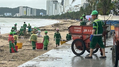
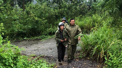
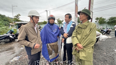
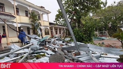
Experts warn people to be on guard against the risk of flash floods and landslides that may occur in mountainous areas; rain and floods that may affect the safety of reservoirs; flooding in downstream areas, along rivers, and urban areas in downstream areas of rivers. Attention should be paid to safety when traveling through spillways. Floods can have negative impacts on the environment, threaten people's lives; cause local traffic congestion, and affect the movement of vehicles.
H.D
Source: https://baokhanhhoa.vn/xa-hoi/202511/lu-tren-song-cai-nha-trang-tiep-tuc-len-6ba6d00/


![[Photo] General Secretary To Lam receives Slovakian Deputy Prime Minister and Minister of Defense Robert Kalinak](https://vphoto.vietnam.vn/thumb/1200x675/vietnam/resource/IMAGE/2025/11/18/1763467091441_a1-bnd-8261-6981-jpg.webp)
![[Photo] Prime Minister Pham Minh Chinh and his wife meet the Vietnamese community in Algeria](https://vphoto.vietnam.vn/thumb/1200x675/vietnam/resource/IMAGE/2025/11/19/1763510299099_1763510015166-jpg.webp)


Comment (0)