
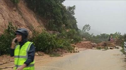
According to the warning, by the morning of November 19, the water level on the Ba River and the Con River is rising rapidly. On the Ba River at Cung Son station is at 1.42m above alert level 3, at Phu Lam station is at 0.23m above alert level 3. At 9:00 a.m. on November 19, the National Center for Hydro-Meteorological Forecasting issued a level four natural disaster risk level for the eastern region of Dak Lak province.
According to the National Center for Hydro-Meteorological Forecasting, this is a particularly dangerous warning level and is issued when encountering major natural disaster combinations such as floods, flash floods, landslides and has the potential to cause great damage to people and property as well as infrastructure.
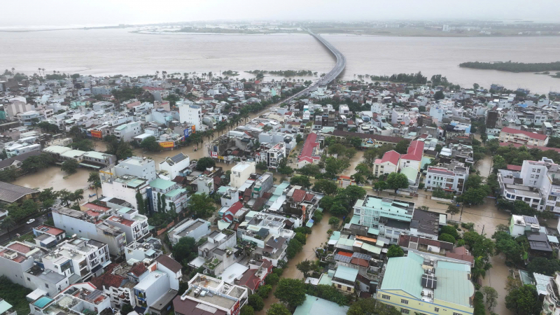
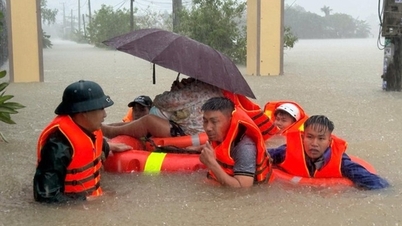
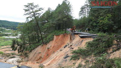
According to forecasts, in the next 12 hours, the flood on the Ba River is likely to reach a historic level and will continue to remain at this level. In the next 24 hours, the water level on the Ba River will also continue to remain at alert level 3 and cause widespread flooding in the downstream area. The National Center for Hydro-Meteorological Forecasting recommends that people limit their travel through deeply flooded areas, flooded areas as well as traffic areas that are likely to cause flash floods and landslides. People need to move away from dangerous areas to ensure the safety of their lives and property.
According to the National Center for Hydro-Meteorological Forecasting, areas at risk of landslides and deep flooding in Dak Lak province include: Cu Pui, Yang Mao, Dang Kang, Lien Son Lak, Dak Lieng, Hoa Son, Krong Bong, Dak Phoi, Song Hinh, Ea Ba, Ea Ly, Dray Bhang, Krong Ana, Dur Kmal, Ea Na, Dong Xuan, Tuy An Bac, Tuy Hoa, Phu Yen , Son Hoa, Phu Hoa 1 and Tay Hoa communes.
Source: https://cand.com.vn/Xa-hoi/nang-muc-canh-bao-cap-do-rui-ro-thien-tai-cap-4-o-dong-dak-lak-i788520/


Comment (0)