
Forecast until 10pm on December 1, the storm is in the northwest sea area of the central East Sea, about 230km east of the eastern coast of Gia Lai - Dak Lak province, moving west-southwest at a speed of about 5km/h and gradually weakening. The strongest wind is level 8, gusting to level 11. The affected area is the northwest sea area of the central East Sea; disaster risk level 3.
By 10 p.m. on December 2, the storm in the Gia Lai sea area reached Khanh Hoa, about 130 km east of the eastern coast of Gia Lai - Dak Lak provinces, moving southwest at a speed of about 5-10 km/hour and continuing to weaken. The strongest wind is level 6, gusting to level 9. The affected area is the northwest sea area in the middle of the East Sea, the sea area from Gia Lai to Khanh Hoa; natural disaster risk level 3.
At 10:00 a.m. on December 3, the storm in the coastal waters from Gia Lai to Khanh Hoa moved southwest at a speed of about 5-10 km/hour and weakened into a low pressure area.
Due to the storm's influence, the northwest sea area in the central East Sea has strong winds of level 7; the area near the storm's eye has strong winds of level 8-9, gusting to level 11; waves 2-4m high, the area near the storm's eye 4-6m; very rough seas.
Weather forecast Weather conditions across the country show a clear differentiation between regions in the first days of December. In the North and North Central regions, the main weather is rain in some places at night, localized fog in the early morning, sunny during the day. Temperatures drop sharply at night and early morning, mountainous areas are very cold; high mountain areas need to be on guard against the possibility of frost and frost due to low temperatures.
Meanwhile, the remaining areas will continue to experience scattered showers and thunderstorms. From December 2, rain will increase in the South Central Coast, Central Highlands and the South, with heavy rain in some places, accompanied by the risk of tornadoes, lightning and strong gusts of wind. In the Central Highlands, temperatures at night and in the morning will be quite low, and the weather will be cold; the South Central and Southern regions will be chilly at night.
Weather forecast for regions across the country today (December 1):
Northwest: Few clouds, early morning fog in some places, sunny day; light wind; cold in the morning, some places are very cold; high mountainous areas should be careful of the possibility of frost and ice; temperature 10-26 degrees Celsius
Northeast: Cloudy, early morning fog in some places, sunny day; light wind; cold morning, mountainous areas have places with severe cold; temperature 10-25 degrees Celsius
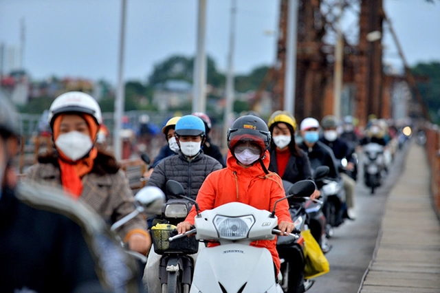
Hanoi City: Cloudy, no rain at night, early morning fog in some places, sunny during the day; light wind; cold at night and morning; temperature 16-26 degrees Celsius.
From Thanh Hoa to Hue: Cloudy, early morning fog in some places, sunny during the day; North to Northwest wind level 2-3; cold at night and early morning in the North, cold in the South; temperature 18-26 degrees Celsius
South Central Coast: Cloudy, scattered showers and thunderstorms; Northeast to North wind level 3; thunderstorms with possibility of tornadoes, lightning and strong gusts; cold early morning; temperature 22-32 degrees Celsius
Central Highlands: Cloudy, scattered showers and thunderstorms; Northeast wind level 2-3; thunderstorms with possibility of tornadoes, lightning and strong gusts; temperature 19-31 degrees Celsius
Southern region: Cloudy, sunny in the afternoon, showers and thunderstorms in some places in the evening and at night; Northeast wind level 2-3; in thunderstorms there is a possibility of tornadoes, lightning and strong gusts of wind; temperature 22-33 degrees Celsius.
Hoang Sa special economic zone (Da Nang): Scattered showers and thunderstorms; in thunderstorms there is a possibility of tornadoes and strong gusts of wind; visibility is over 10km, reduced to 4-10km in the rain; Northeast wind level 5; waves 2-3m high.
Truong Sa special economic zone (Khanh Hoa): Scattered showers and thunderstorms in some places; during thunderstorms there is a possibility of tornadoes and strong gusts of wind; visibility is over 10km, decreasing to 4-10km in the rain; West to Southwest wind level 3-4; waves 2-3m high.
Source: https://baolangson.vn/thoi-weather-hom-nay-1-12-bao-so-15-suy-yeu-dan-mien-bac-ret-ve-dem-va-sang-5066537.html


Comment (0)