
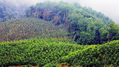
The topic focuses on building a scientific basis and a zoning system, criteria for classifying tropical monsoon marine and island landscapes in Vietnam. Based on field surveys, the research team has clearly identified the distribution characteristics, structure, capacity, function and landscape and ecosystem services (ESS) in coastal marine and island landscape types, types and regions. At the same time, the study assesses the level of diversity of typical landscapes, from natural marine assets such as wind power, mangrove forests, coral reefs, seagrass beds, to serve the development of semi-regional blue marine economy .

Research on tropical monsoon sea and island landscapes of Vietnam.
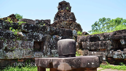
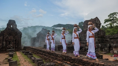
The topic applies to two key areas: (i) the sea and island area of Ha Long - Cat Ba (Quang Ninh - Hai Phong) and (ii) the coastal area of Phu Yen . In these two areas, the research team has built a model for the rational application of landscapes to develop a semi-regional blue marine economy. At the same time, these models help optimize the exploitation of the economic potential of the territory, thereby promoting eco-tourism, renewable energy, business - trade - services and aquaculture, while increasing the production value chain, improving inter-sectoral and inter-regional linkages and product consumption capacity.
Regarding the database, the project has successfully built 17 national-scale maps (scale 1/500,000) and 20 detailed maps for two key areas (scale 1/100,000). At the same time, a GIS data system of coastal tropical monsoon sea and island landscapes in Vietnam has also been formed, providing effective scientific and management tools for management agencies from central to local levels.
The socio-economic efficiency of the project is clearly demonstrated through the identification of the potential of sea and island areas, detailed determination of landscapes and resource use values. This is a solid scientific basis for organizing socio-economic space, aiming at rational use of resources and environmental protection, while promoting the restructuring of territorial space, improving green economic efficiency.
Regarding the environment, the research results support national management and conservation: landscape maps, distribution data, structure, capacity, function and ecosystem are effective tools for assessing the current status and planning for conservation of national-scale marine and island landscapes. At the same time, building socio-economic development models based on marine landscapes according to the principles of blue marine economy helps protect and improve environmental quality, conserve ecosystems and biodiversity typical of Vietnam's tropical monsoon seas and islands.
With these results, the project not only contributes to the scientific foundation for managing marine and island landscapes but also serves as a practical tool to support the development of a sustainable blue marine economy, promote the rational exploitation of resource potential and protect Vietnam's coastal environment.
Source: https://mst.gov.vn/nghien-cuu-canh-quan-bien-dao-nhet-doi-gio-mua-viet-nam-huong-toi-phat-trien-kinh-te-bien-xanh-ben-vung-197251201114838116.htm


![[Photo] Prime Minister Pham Minh Chinh receives President of Cuba's Latin American News Agency](/_next/image?url=https%3A%2F%2Fvphoto.vietnam.vn%2Fthumb%2F1200x675%2Fvietnam%2Fresource%2FIMAGE%2F2025%2F12%2F01%2F1764569497815_dsc-2890-jpg.webp&w=3840&q=75)


Comment (0)