
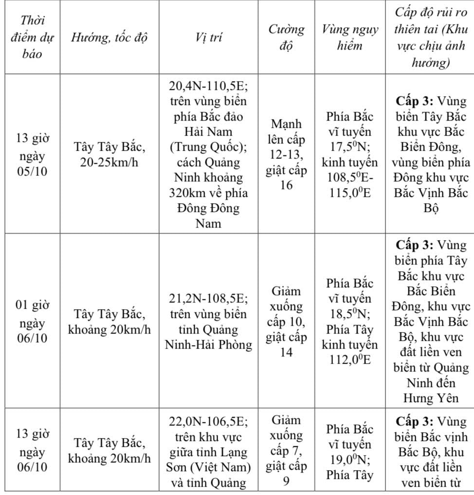
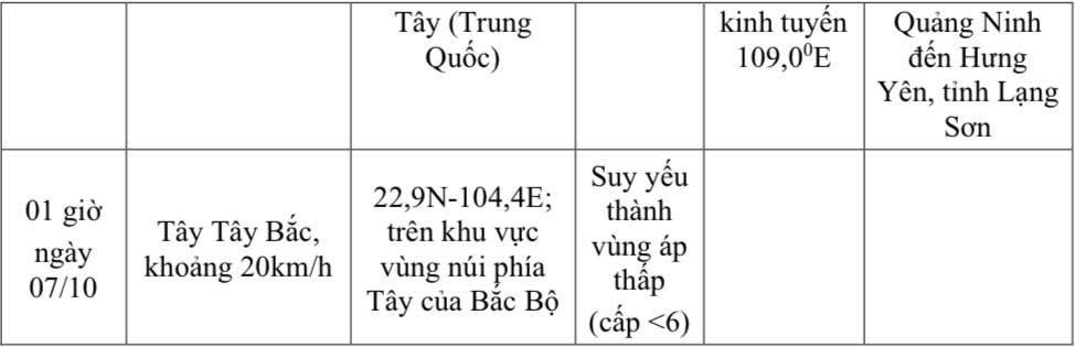
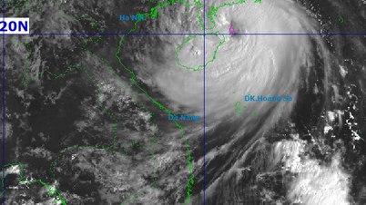
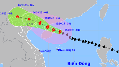
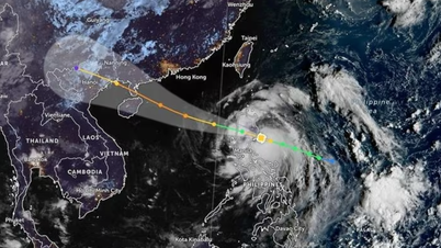
At 4:00 a.m. on October 5 , the center of the storm was at about 19.8 degrees North latitude; 112.3 degrees East longitude, in the Northwest sea of the North East Sea, about 150km east of Hainan Island (China), about 550km east southeast of Quang Ninh. The strongest wind near the center of the storm was level 12 (118-133km/h), gusting to level 15. Moving in the West Northwest direction, speed 20-25km/h.
Storm development forecast ( in the next 24 to 48 hours ) :
.jpg)
Storm warning:
On the sea :
- In the North East Sea, there are strong winds of level 8-10, near the storm center level 11-13, gusts of level 16, waves 4.0-6.0m high, near the storm center 6.0-8.0m, rough seas ( extremely large destructive force , extremely strong waves . Sinking large ships ) . - From the night of October 5, in the sea of Nghe An province ( including Hon Ngu island) , the wind gradually increases to level 4-5, then increases to level 6-7, gusts of level 8; waves 1.5-2.5m high, rough seas.
- In the North East Sea, there are strong winds of level 8-10, near the storm center level 11-13, gusts of level 16, waves 4.0-6.0m high, near the storm center 6.0-8.0m, rough seas ( extremely large destructive force , extremely strong waves . Sinking large ships ) . - From the night of October 5, in the sea of Nghe An province ( including Hon Ngu island) , the wind gradually increases to level 4-5, then increases to level 6-7, gusts of level 8; waves 1.5-2.5m high, rough seas.
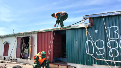
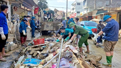
Heavy rain:
- From October 6 to the night of October 7, Nghe An province will have moderate rain, heavy rain and thunderstorms in some places. The average rainfall is forecasted to be 30 - 60mm, with some places in the Northwest region of the province experiencing over 100mm, such as the communes of Quy Chau, Chau Tien, Thong Thu, Tien Phong....
Source: https://baonghean.vn/tin-ve-con-bao-so-11-tu-ngay-06-den-dem-07-10-tinh-nghe-an-co-mua-vua-co-noi-mua-to-10307692.html
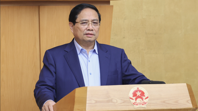
![[Photo] Prime Minister Pham Minh Chinh launched a peak emulation campaign to achieve achievements in celebration of the 14th National Party Congress](https://vphoto.vietnam.vn/thumb/1200x675/vietnam/resource/IMAGE/2025/10/5/8869ec5cdbc740f58fbf2ae73f065076)


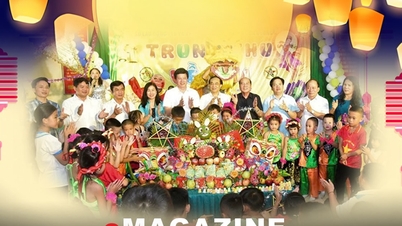

![[Photo] Bustling Mid-Autumn Festival at the Museum of Ethnology](https://vphoto.vietnam.vn/thumb/1200x675/vietnam/resource/IMAGE/2025/10/4/da8d5927734d4ca58e3eced14bc435a3)


![[VIDEO] Summary of Petrovietnam's 50th Anniversary Ceremony](https://vphoto.vietnam.vn/thumb/402x226/vietnam/resource/IMAGE/2025/10/4/abe133bdb8114793a16d4fe3e5bd0f12)

![[VIDEO] GENERAL SECRETARY TO LAM AWARDS PETROVIETNAM 8 GOLDEN WORDS: "PIONEER - EXCELLENT - SUSTAINABLE - GLOBAL"](https://vphoto.vietnam.vn/thumb/402x226/vietnam/resource/IMAGE/2025/7/23/c2fdb48863e846cfa9fb8e6ea9cf44e7)


Comment (0)