

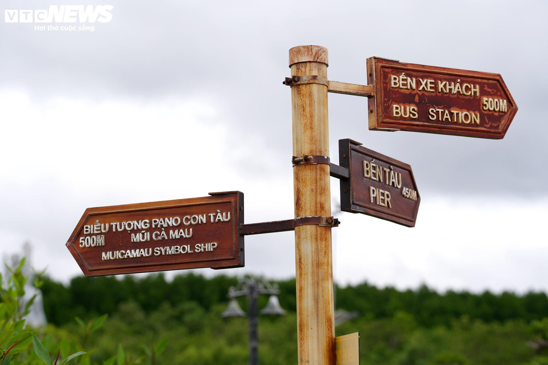
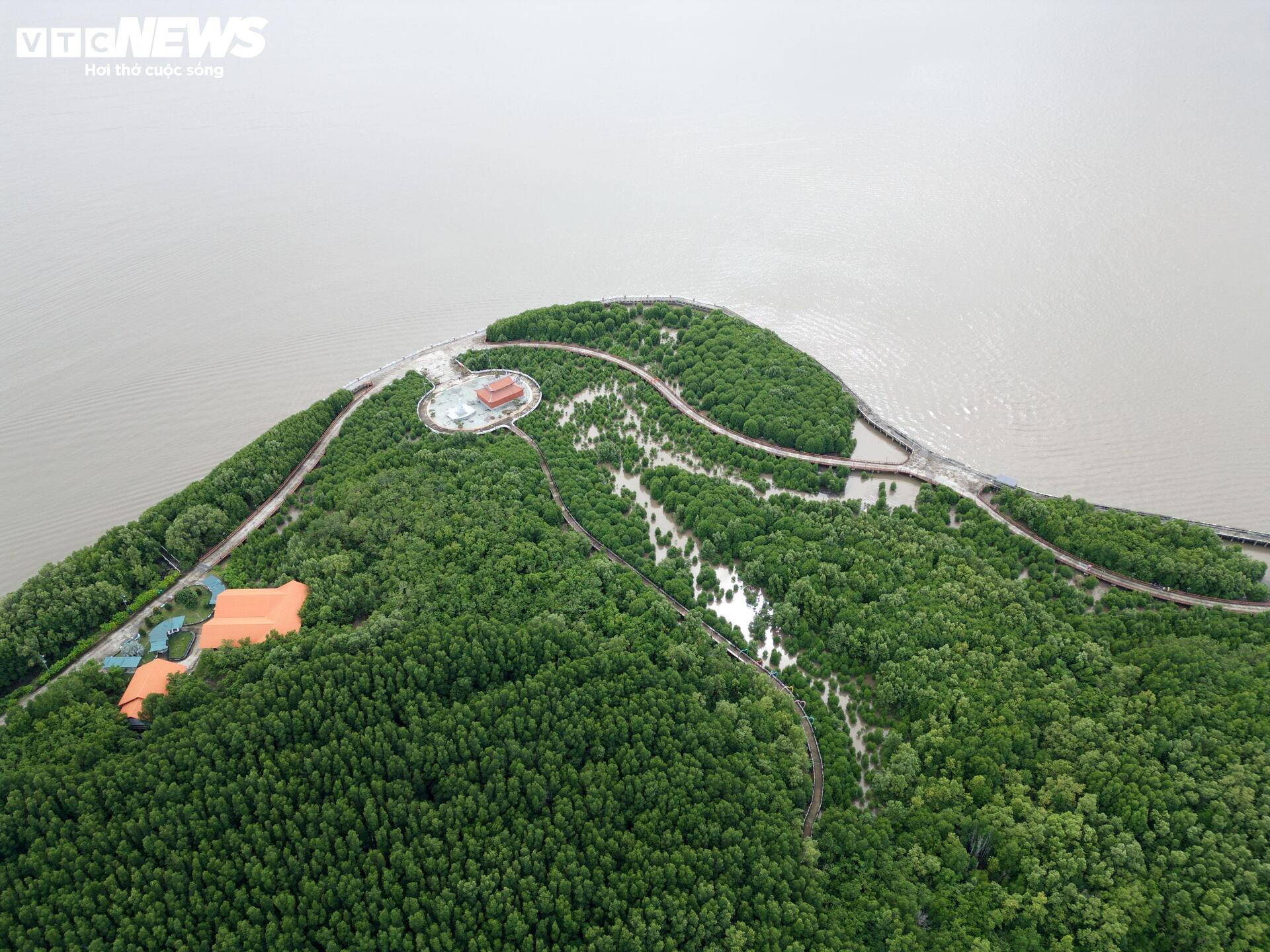
Dat Mui is located more than 110 km from the center of Ca Mau , is a piece of land jutting out into the East Sea and is considered the southernmost point on the mainland of Vietnam.

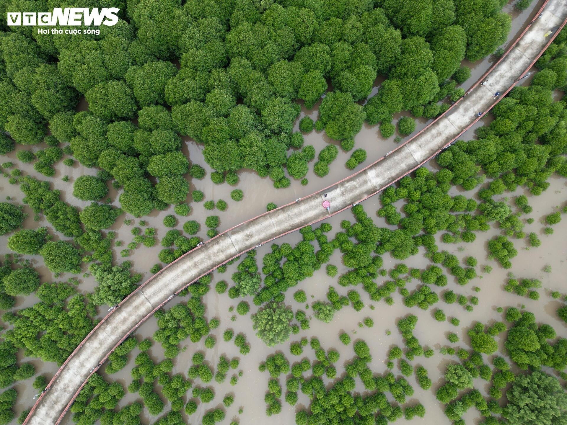
Dat Mui Commune possesses a diverse and rich mangrove ecosystem, while also bearing the cultural imprint of the Mekong Delta. With its rustic, lyrical beauty and sacred value in the Vietnamese mind, Dat Mui has become a special destination for tourists when setting foot in the southernmost part of the country.

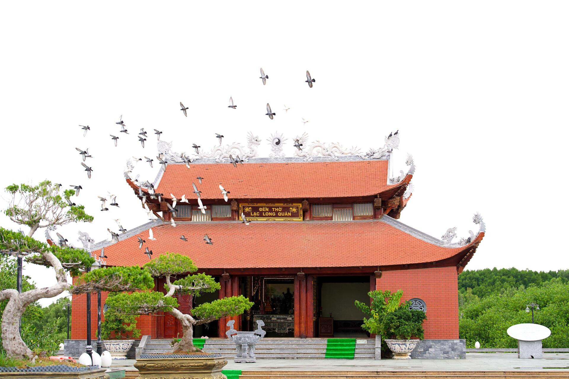
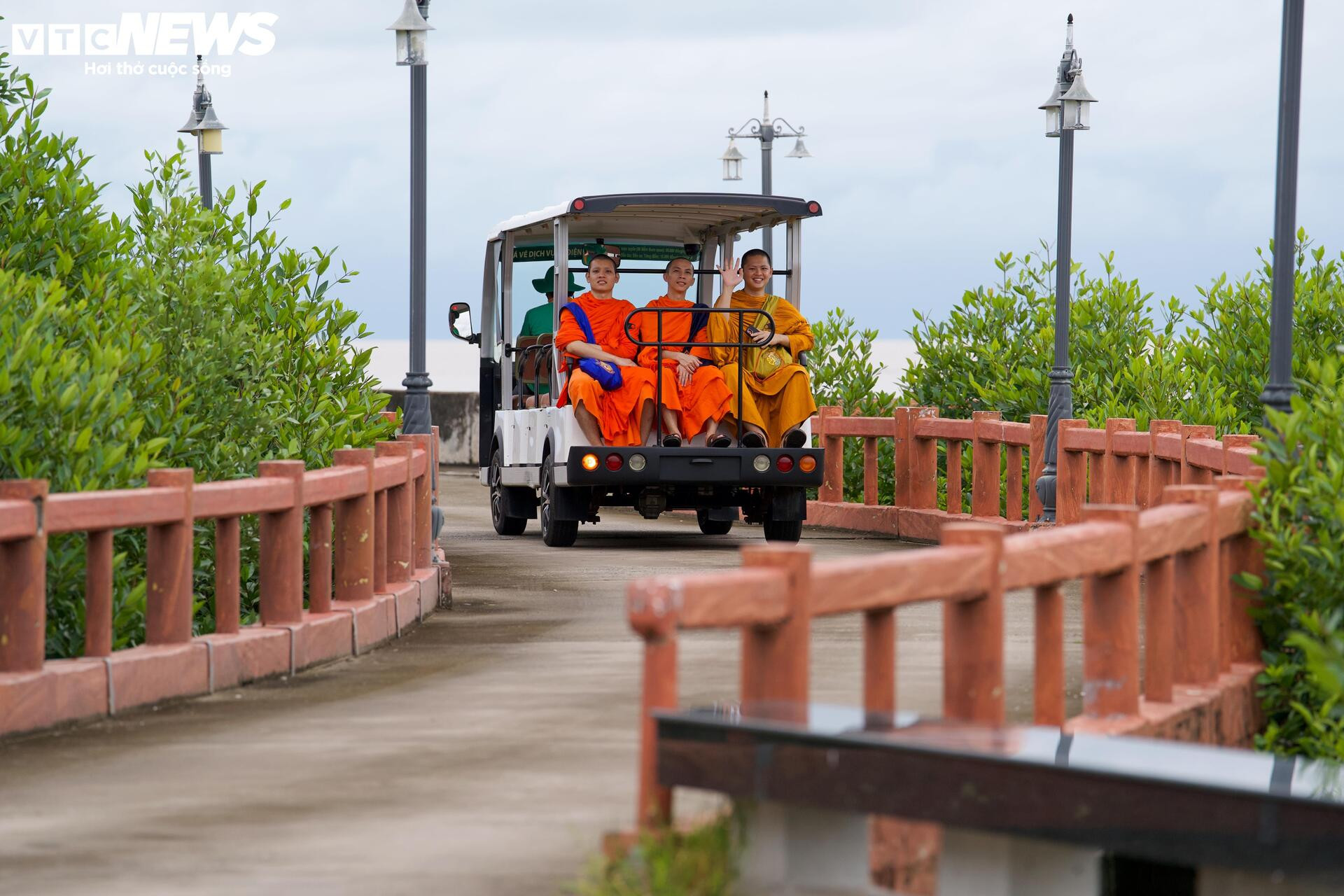
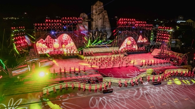
According to VTC News Electronic Newspaper reporters, in the journey to explore the land at the end of the Fatherland, Mui Ca Mau Cultural - Tourist Park has become an indispensable stop. The large campus, unique landscape and sacred structures such as Lac Long Quan Temple and Mother Statue have created a special highlight, opening the journey to feel the beauty of the southernmost place of the Fatherland.

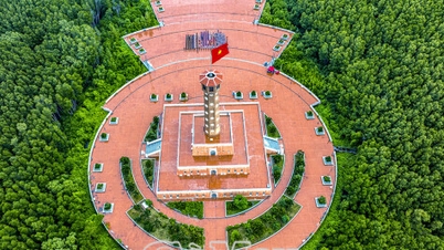
Lac Long Quan Temple and Mother Au Co Statue were built facing the East Sea, expressing the morality of “When drinking water, remember its source” and reminding generations of the journey of opening up new lands and preserving national sovereignty . The space here always evokes sacred emotions when visitors admire flocks of pigeons spreading their wings under the red flag with a yellow star, creating a scene that blends spirituality, nature and pride in one’s roots.

A special highlight on the journey to discover the southernmost tip of the country is the Hanoi Flag Tower at Ca Mau Cape - a symbol of the close relationship between the capital and the Cape. The project is built on an area of over 16,000m², with a height of 45m, creating a solemn space in the middle of the mangrove forest.
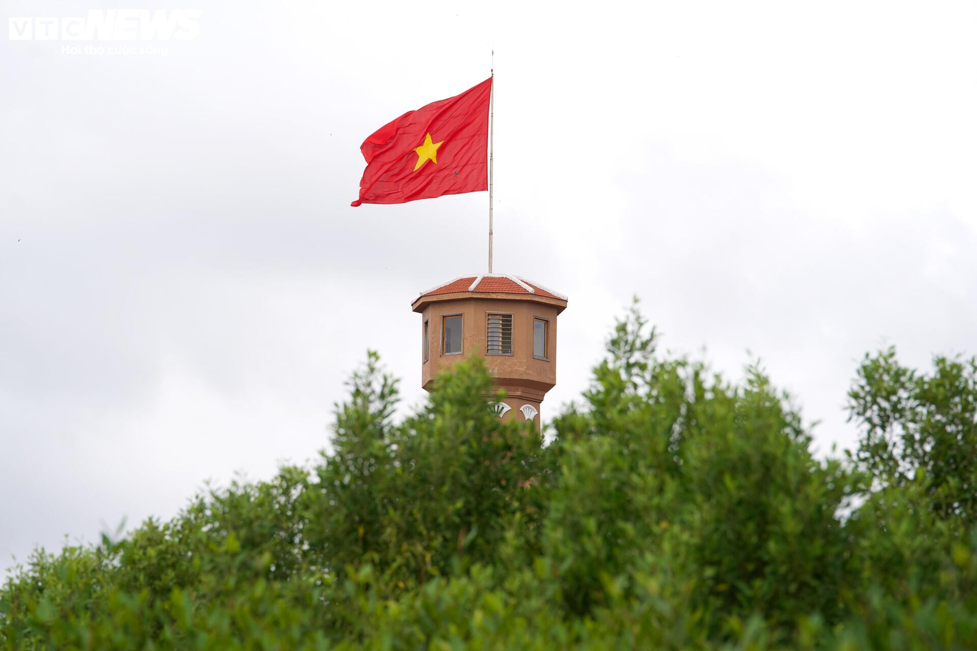
The yellow national flag flying on top of the pole becomes a sacred image, evoking pride when visitors set foot in the southernmost region of the Fatherland.
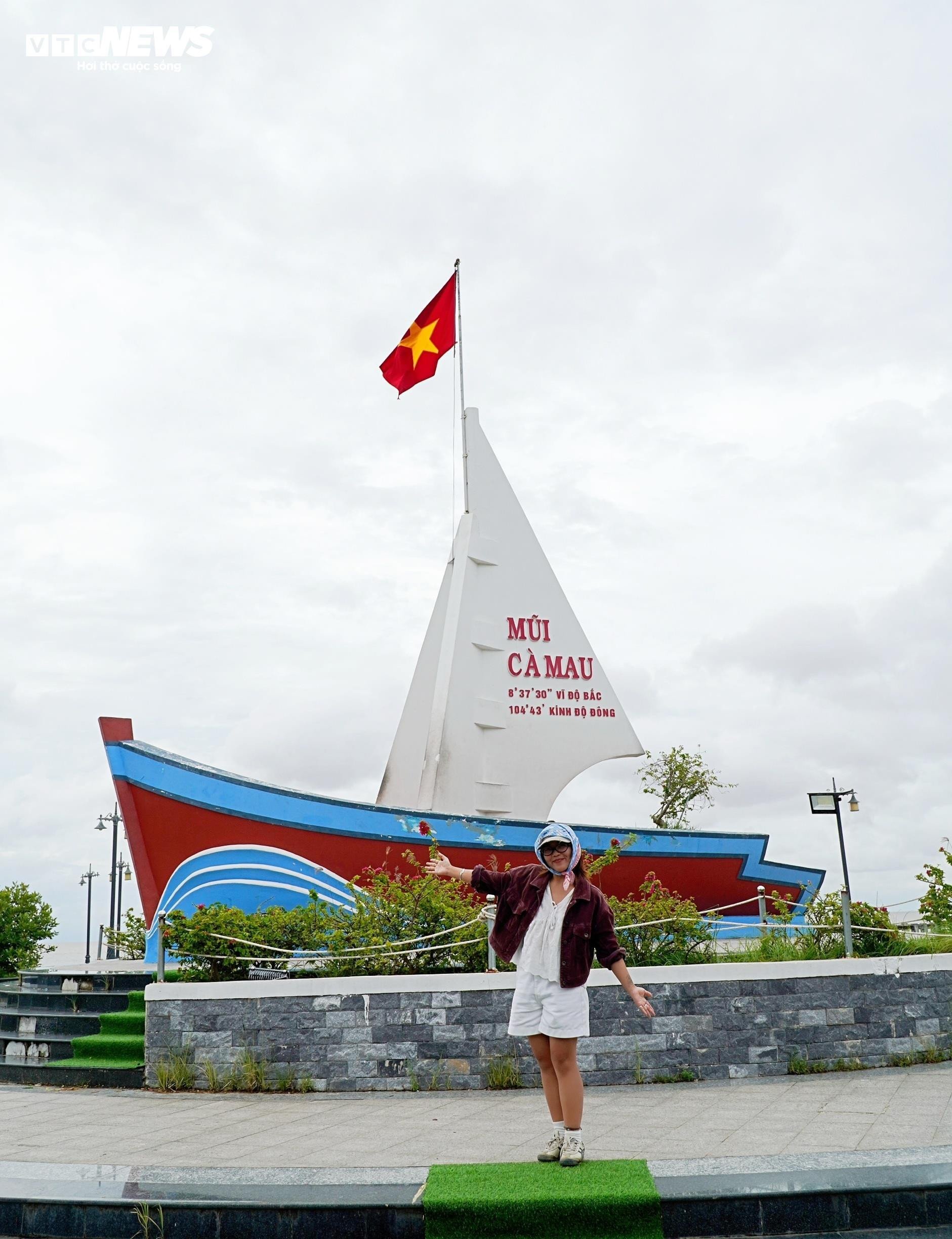
The image of the ship at the Mui Ca Mau Cultural - Tourism Park is also an impressive highlight, with a simulation of a boat with full sail reaching out to the ocean. On the sail is printed the words "Mui Ca Mau" with the coordinates 8°37'30'' North latitude, 104°43' East longitude - the sacred landmark of the southernmost point of the Fatherland. This is a familiar check-in point for tourists, where everyone wants to save memorable moments in their journey to this land.
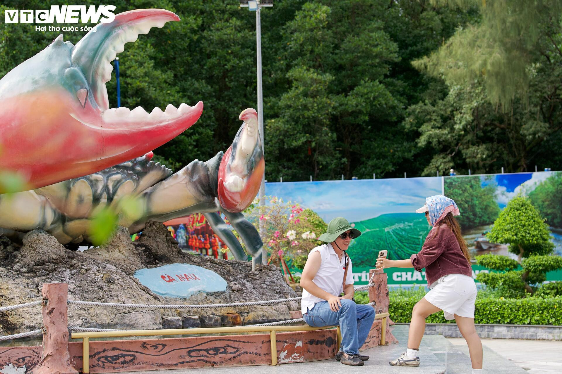
Tourists take photos with the Ca Mau crab symbol at Ca Mau Cape Cultural - Tourism Park.

Also at Dat Mui, visitors will encounter the Ho Chi Minh Road Milestone - the end point of Km 2436, marking the journey of more than 3,000 km from Pac Bo (Cao Bang) to the southernmost point of the country, passing through 28 provinces and cities.
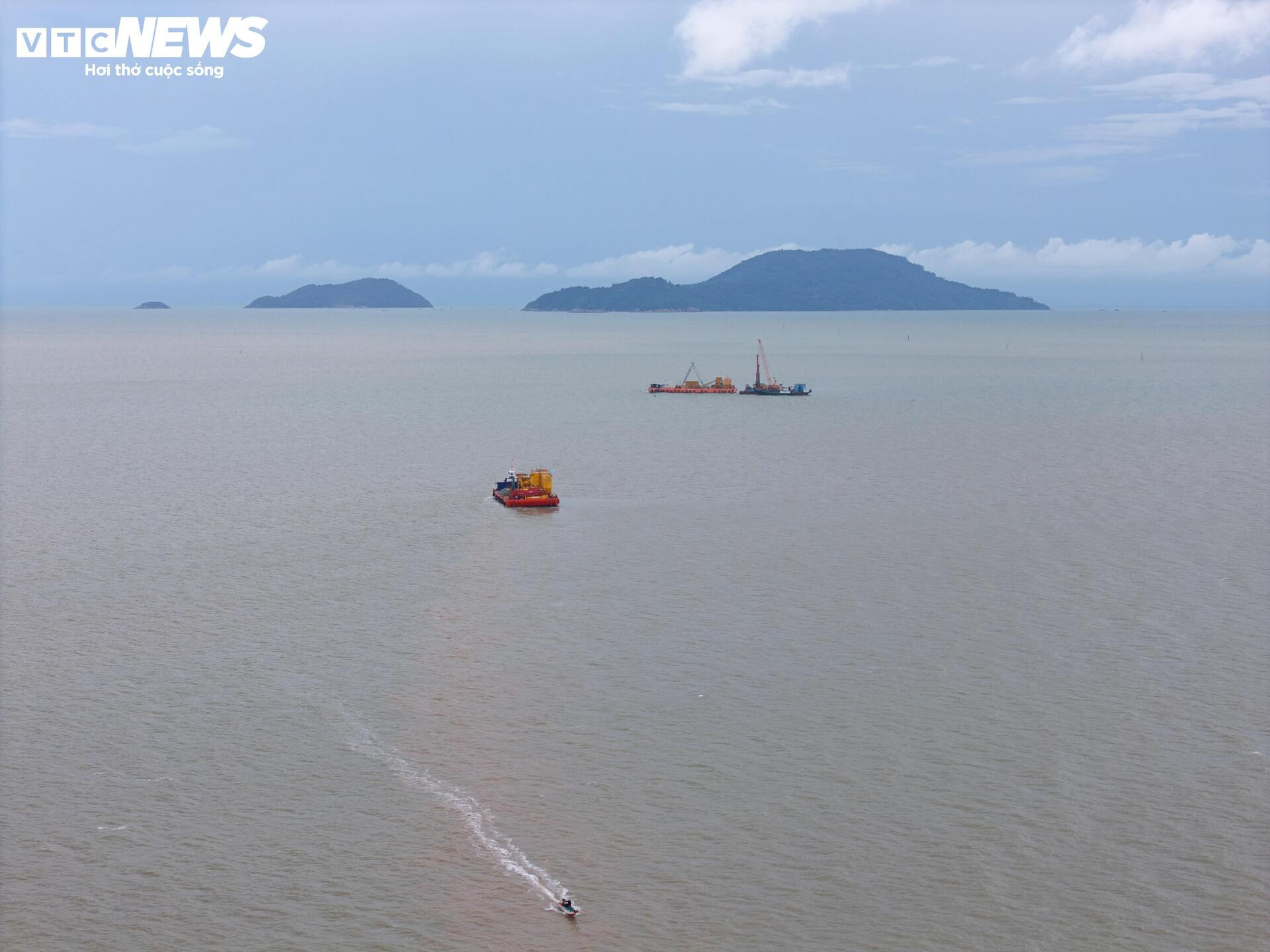
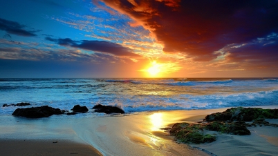
Not far from there is an observation deck, where visitors can enjoy a panoramic view of the southernmost land of Vietnam and admire the Hon Khoai island cluster in the middle of the southern sea and sky. This is also the only point on the S-shaped strip of land where you can see the sun rise in the East Sea and set in the West Sea - a moment that anyone coming to Dat Mui wants to experience at least once.
Coming to Ca Mau, finding Dat Mui is a journey to feel the beauty and sacredness of the land, the sacred territory at the end of the Fatherland. That land of "a thousand miles of muddy big toe" is still constantly changing, full of life every day. Nature has bestowed Dat Mui with a rare unique feature, where residents compare it with the traditional saying: "where the land knows how to bloom, the forest knows how to walk and the sea is born", evoking the magic of the land at the end of the South.
Luong Y - Vtcnews.vn
Source: https://vtcnews.vn/ngam-ve-dep-noi-dat-biet-no-rung-biet-di-o-cuc-nam-to-quoc-ar988564.html


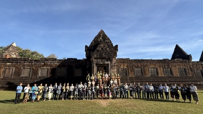
![[Photo] Prime Minister Pham Minh Chinh receives Governor of Gunma Prefecture (Japan) and Special Advisor to the Japan-Vietnam Friendship Parliamentary Alliance](https://vphoto.vietnam.vn/thumb/402x226/vietnam/resource/IMAGE/2025/11/25/1764066321008_dsc-1312-jpg.webp)

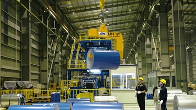
![[Photo] Close-up of Ba Ha River Hydropower Plant operating to regulate water to downstream](https://vphoto.vietnam.vn/thumb/402x226/vietnam/resource/IMAGE/2025/11/25/1764059721084_image-6486-jpg.webp)


Comment (0)