
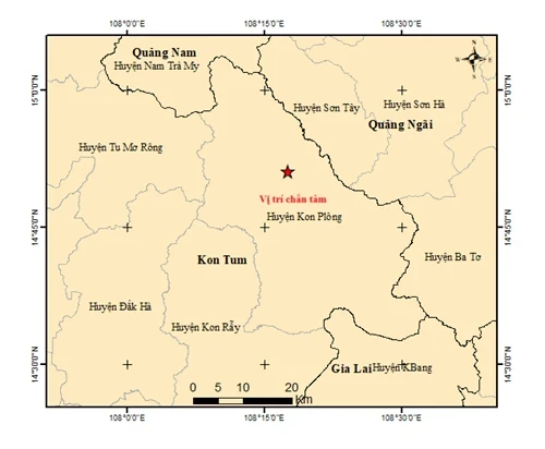
Specifically, at 4:08:42 ( Hanoi time), an earthquake of magnitude 3.1 occurred at the location with coordinates 14.847 degrees North latitude, 108.282 degrees East longitude, with a focal depth of about 8.1 km.
Immediately after about 2 minutes, at 4:10:05 (Hanoi time), an earthquake with a magnitude of 3.0 continued to occur at the location with coordinates 14.849 degrees North latitude, 108.262 degrees East longitude, with a focal depth of about 8.1 km.
The third earthquake had a magnitude of 2.6 and occurred at 4:46 a.m. at a location with coordinates of 14.852 degrees North latitude, 108.291 degrees East longitude. The focal depth was about 8.1 km.
Most recently, at 9:28:52 (Hanoi time), the fourth earthquake with a magnitude of 2.9 occurred at the coordinates 14.989 degrees North latitude, 108.189 degrees East longitude, with a focal depth of about 8.1 km.
The above earthquakes all occurred in the area. Kon Plong district, Kon Tum province with disaster risk level 0 - meaning little chance of causing damage.
Currently, the Earthquake Information and Tsunami Warning Center - Institute of Earth Sciences is continuing to monitor the above earthquake.
Previously, Kon Plong was still a “hot spot” of earthquake stimulation in the Central Highlands. This phenomenon occurred because the water accumulation process of the hydroelectric reservoir impacted the active fault system below.
Source: https://baolangson.vn/4-tran-dong-dat-lien-tiep-da-xay-ra-sang-nay-tai-kon-tum-5042672.html
![[Photo] Prime Minister Pham Minh Chinh attends the groundbreaking ceremony of Trump International Hung Yen Project](https://vphoto.vietnam.vn/thumb/1200x675/vietnam/resource/IMAGE/2025/5/21/ca84b87a74da4cddb2992a86966284cf)
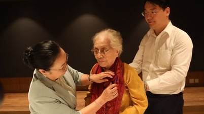
![[Photo] Scientific workshop "Building a socialist model associated with socialist people in Hai Phong city in the period of 2025-2030 and the following years"](https://vphoto.vietnam.vn/thumb/1200x675/vietnam/resource/IMAGE/2025/5/21/5098e06c813243b1bf5670f9dc20ad0a)
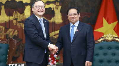
![[Photo] Prime Minister Pham Minh Chinh receives Rabbi Yoav Ben Tzur, Israeli Minister of Labor](https://vphoto.vietnam.vn/thumb/1200x675/vietnam/resource/IMAGE/2025/5/21/511bf6664512413ca5a275cbf3fb2f65)


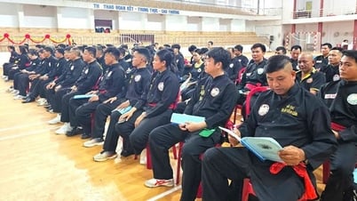
![[Photo] Determining the pairs in the team semi-finals of the National Table Tennis Championship of Nhan Dan Newspaper](https://vphoto.vietnam.vn/thumb/1200x675/vietnam/resource/IMAGE/2025/5/21/eacbf7ae6a59497e9ae5da8e63d227bf)


Comment (0)