
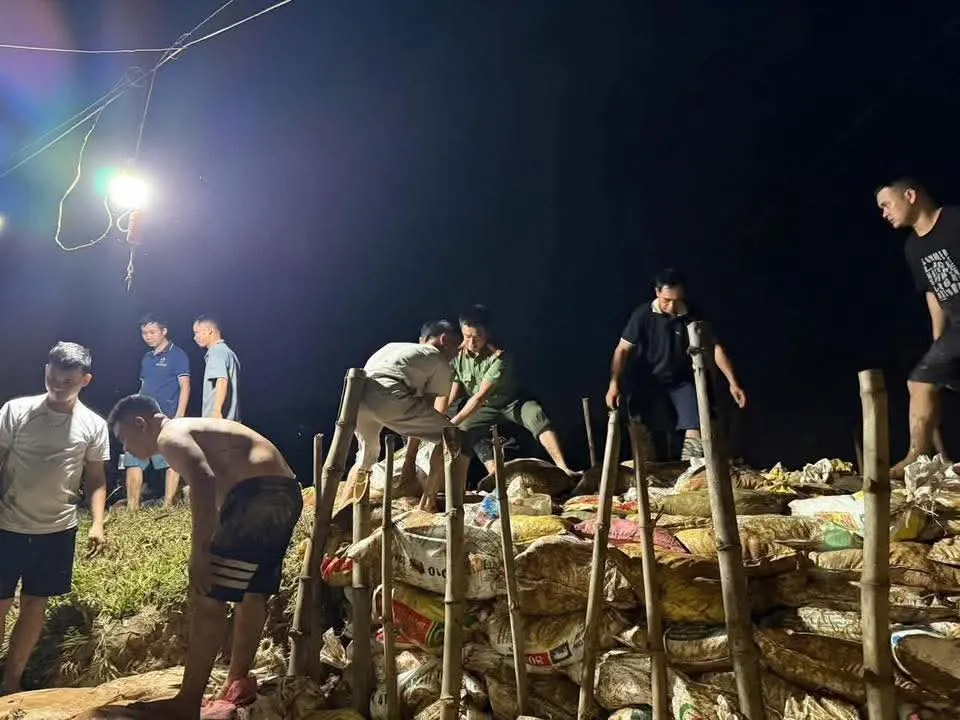
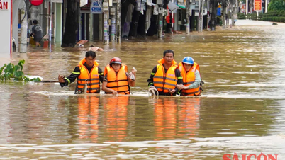
Faced with the above situation, the Hanoi City Civil Defense Command has sent an urgent dispatch to departments, branches, and Party Committees and People's Committees of communes along the Cau and Ca Lo rivers, requesting immediate implementation of flood response measures to protect people's lives and property.
Localities are required to urgently notify organizations and individuals operating on and along the river to proactively respond; mobilize forces, vehicles and materials to be ready to protect dikes at key locations; at the same time, review reserve materials for flood and storm prevention, ensuring readiness to handle dike incidents when situations arise.
The City Civil Defense Command also requested localities to maintain 24/7 duty, increase patrols and guarding on dikes, promptly detect and handle incidents from the first hour; regularly report the situation to the Office of the City Civil Defense Command and the Hanoi Department of Agriculture and Environment according to regulations.
 to be flooded.")
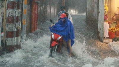
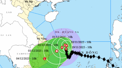
According to the Hanoi Civil Defense Command, at 10:00 p.m. on October 8, the water level of Cau River at Luong Phuc station reached 9.54m (exceeding alarm level III by 1.54m, exceeding the design water level by 0.14m); the water level of Ca Lo River at Manh Tan station reached 8.92m (exceeding alarm level III by 0.92m) and continued to rise rapidly. The high water level poses a risk of landslides and riverbank erosion, directly affecting the safety of the right dike lines of Cau River, the left and right of Ca Lo River and many riverside works.
The Hanoi People's Committee has just issued an official dispatch on proactively responding to exceptionally large floods on the Cau and Thuong rivers, assigning the Department of Agriculture and Environment, the City Civil Defense Command, and the People's Committees of the communes: Trung Gia, Da Phuc, Soc Son, Noi Bai, Kim Anh, Phuc Thinh, Thu Lam, Quang Minh, Tien Thang... and related units to urgently implement the direction of the National Civil Defense Steering Committee on flood prevention and control, ensuring absolute safety for people and important dykes.
Source: https://www.sggp.org.vn/ha-noi-lu-tren-song-cau-va-song-ca-lo-vuot-muc-bao-dong-iii-post817084.html


Comment (0)