
Scientific and flexible approach from the grassroots
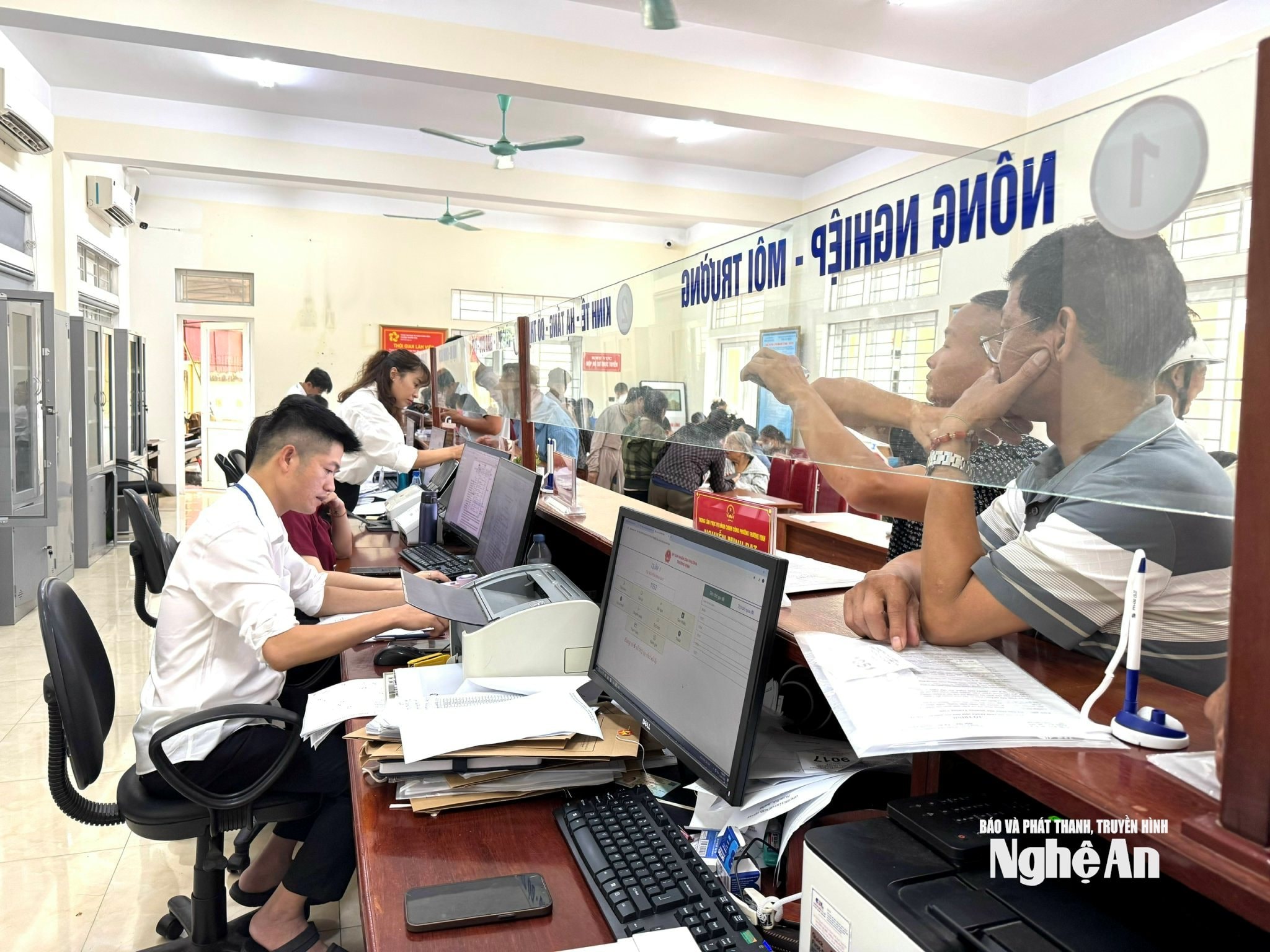
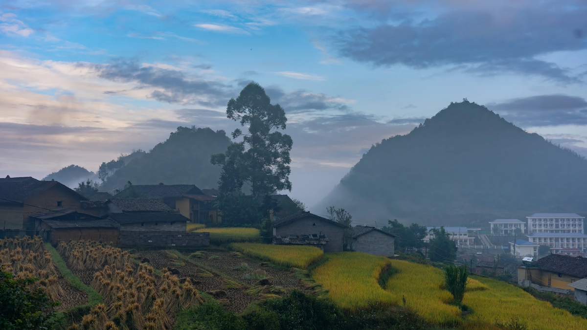
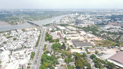
These days, in Truong Vinh ward, the working atmosphere in the campaign, enriching and cleaning the national land database is taking place urgently. Being a locality formed from 7 old wards and communes including: Ben Thuy, Hung Dung, Hung Phuc, Trung Do, Truong Thi, Vinh Tan and Hung Hoa, Truong Vinh ward currently has 101 residential blocks, with more than 61,000 land plot records, a huge amount of work.
.jpg)
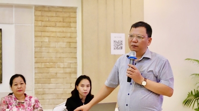
Mr. Nguyen Ngoc Phong - Vice Chairman of Truong Vinh Ward People's Committee said that the ward has mobilized all forces, focusing on implementation in 2 peak weeks. To ensure scientific progress and avoid overlap, the locality does not request people to provide mass information but implements in 2 phases.
In phase 1, the ward will review all plots of land with complete documents and valid information. The local government will directly process and enter data into the system, without requiring people to do additional procedures.
In phase 2, when the number of missing documents is counted and reviewed, the ward will ask people to support by providing information via photocopies of land documents or online photos, and send them to the working groups for updating.
.jpg)
Thanks to this scientific and flexible approach, out of 61,000 land plot records in the ward, only about 12,000 records need additional information, the rest have been confirmed accurately and are being entered into the system.
In particular, Truong Vinh Ward has assigned ward specialists and civil servants to return to their old wards and communes - where they used to work - to review and verify. Taking advantage of local knowledge and familiar relationships with the people has helped speed up progress significantly, reducing the pressure of a large workload after the merger.
Hung Nguyen commune is composed of 4 old administrative units including: Hung Tay, Hung Dao, Hung Nguyen town and Thinh My. With more than 34,000 plots of land, of which nearly 15,000 plots have data, the commune is making efforts to complete the remaining part with many synchronous measures.
Hung Nguyen Commune authorities said that as soon as the campaign was launched, the locality held a meeting to disseminate information to 38 hamlets, and at the same time, established a working group in each hamlet including the Party cell secretary, hamlet chief, Front officials, Youth Union and other support forces - prioritizing young people who are knowledgeable about technology. Propaganda work was also deployed through loudspeakers, social networks, and social network groups so that people could grasp it promptly.
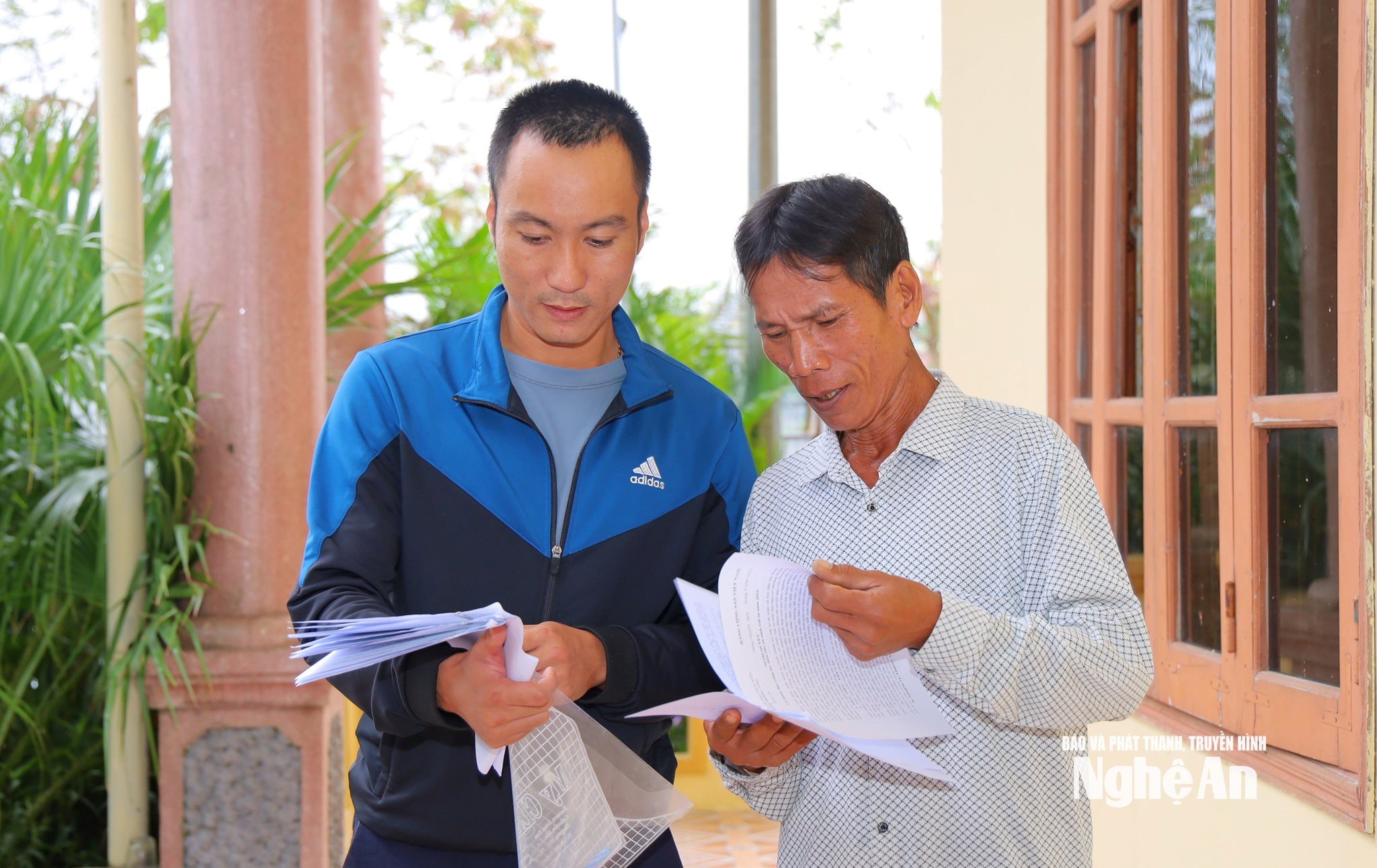
In particular, Hung Nguyen commune has diversified the method of collecting information, creating maximum convenience for people in 3 ways, including: People bring the original for officials to take and scan; people can photocopy, no need for notarization to submit and people can take photos and send them via Zalo to provide to professional officials.
Thanks to that, each citizen can flexibly choose the appropriate method, without being bound by cumbersome administrative procedures.
.jpg)
A representative of the Economic Department of Hung Nguyen Commune said: “In reality, older people who are not familiar with technology prefer traditional methods such as photocopying or handing over the original to an officer to take a photo for them; young people choose to send photos via Zalo for convenience. We accept all of them, as long as the data is accurate and on schedule.”
A notable new point is that Hung Nguyen commune encourages people to use the CamScanner application to take photos of documents, with specific instructions on how to download the application on the App Store or CH Play. This application allows for clear photos, data displayed more clearly than normal photos, making data entry more convenient and reducing errors. This is considered a reasonable step in the digital transformation process, both taking advantage of technology and being close to rural reality.
Not only Truong Vinh ward or Hung Nguyen commune, many other localities in the province have also implemented synchronously and scientifically, clearly assigning tasks to each group and each person, linking responsibilities with specific results, helping to speed up the progress of data standardization.
Speed up the completion process
According to Conclusion Notice No. 890/TB-UBND dated October 22, 2025, Comrade Phung Thanh Vinh - Vice Chairman of the Provincial People's Committee, Head of the Campaign Steering Committee requested localities to minimize requiring people to carry out cumbersome and unnecessary procedures in the process of collecting and completing the land database.
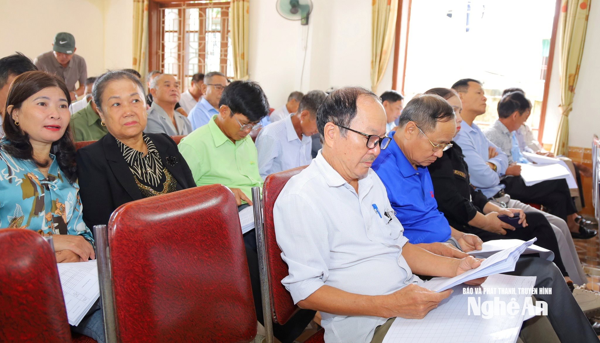
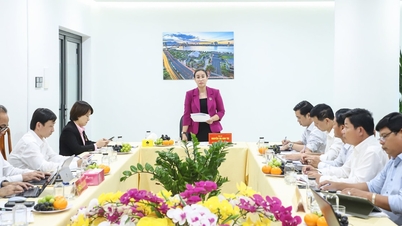
The Provincial Steering Committee highly appreciated the initiative and creativity of many communes and wards in the new conditions after the two-level government arrangement. Some localities, despite difficulties, still organized effectively and ensured progress.
The Steering Committee requested all levels and sectors to launch a high-level emulation movement "Enriching and cleaning up land databases", striving to complete the collection and entry of databases before November 15, 2025. At the same time, the work Information security and network security are top priorities, ensuring safety throughout the process of collecting, storing and sharing data...
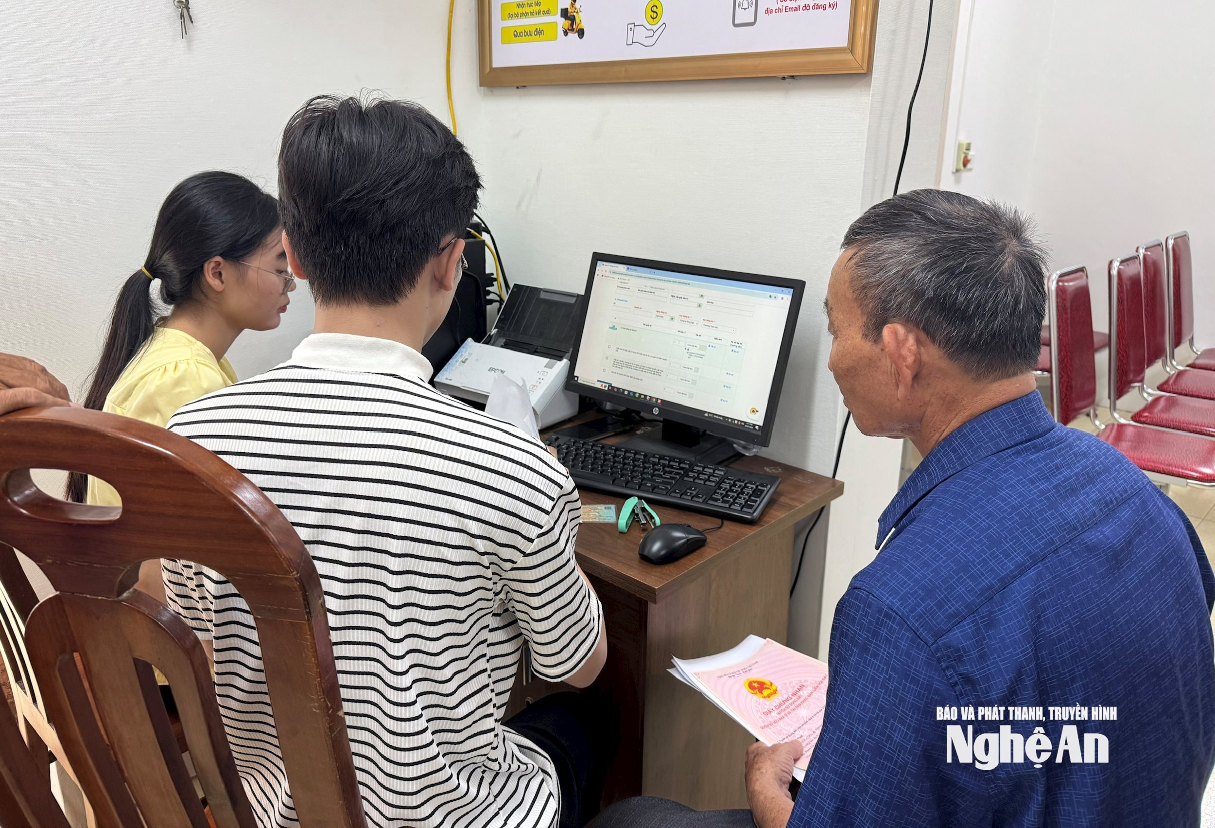
In the process of collecting, enriching and cleaning the land database, reality shows that there are special cases that may arise, such as the Land Use Right Certificate being mortgaged, lost, torn, or the landowner living far away, even abroad...
Regarding these situations, Mr. Nguyen Manh Toan - Head of the Department of Surveying, Mapping and Remote Sensing (Department of Agriculture and Environment) said that the Ministry of Agriculture and Environment has provided very specific instructions in the declaration forms, ensuring that data collection takes place smoothly, in accordance with regulations but does not cause inconvenience to people.
Accordingly, for cases where the Certificate is being mortgaged at a bank or credit institution, people only need to clearly state the status of "being mortgaged" in the declaration form, and at the same time, provide a photocopy or photo if available. The grassroots working group will receive, confirm and transfer the list so that the Commune Steering Committee can coordinate with the relevant bank to update the data when necessary.
With lost or torn certificates, people only need to clearly state the actual situation, without having to re-confirm, because all information has been systematized and stored in the database of the Department of Agriculture and Environment. "People do not need to worry or prepare additional complicated documents, all information is recorded, processed according to the correct procedure, ensuring accuracy and transparency," Mr. Toan affirmed.
In cases where the landowner is far away or abroad, the implementation process is also flexible to suit the reality. The landowner can authorize or coordinate with local relatives to take a photo of the Land Use Rights Certificate, Citizen Identification Card and then send it via Zalo or online platforms to the working group in charge of the area. This method not only ensures the legality of the information but also helps to shorten the progress significantly, without having to send paper documents by post or wait for complicated confirmation.
Mr. Nguyen Manh Toan also added that this campaign is not limited to the geographical scope of Nghe An province, but also collects and verifies information connected with other localities. Nghe An people who own land in other provinces, or citizens from other provinces who have houses and land in Nghe An, can take photos, copy documents and send them online to update synchronously into the system. In the near future, when the self-declaration software on the VNeID application is completed and connected to the National Public Service Portal, citizens will be able to take photos, scan and declare land data online, without going through an intermediary. This is an important step in the process of digitizing land management, towards building a unified, transparent land database and serving the people better.
According to a report by the Department of Natural Resources and Environment, as of mid-October 2025, Nghe An had assigned identification codes to more than 6.6 million land plots, of which 1.5 million records had been authenticated to match the population database.
Source: https://baonghean.vn/nghe-an-tang-toc-chien-dich-lam-giau-lam-sach-du-lieu-dat-dai-10308813.html
![[Photo] Prime Minister Pham Minh Chinh chairs meeting on railway projects](https://vphoto.vietnam.vn/thumb/1200x675/vietnam/resource/IMAGE/2025/10/23/1761206277171_dsc-9703-jpg.webp)
![[Photo] Prime Minister Pham Minh Chinh meets with South African President Matamela Cyril Ramaphosa](https://vphoto.vietnam.vn/thumb/1200x675/vietnam/resource/IMAGE/2025/10/23/1761226081024_dsc-9845-jpg.webp)
![[Photo] President Luong Cuong holds talks with South African President Matamela Cyril Ramaphosa](https://vphoto.vietnam.vn/thumb/1200x675/vietnam/resource/IMAGE/2025/10/23/1761221878741_ndo_br_1-8416-jpg.webp)


Comment (0)