
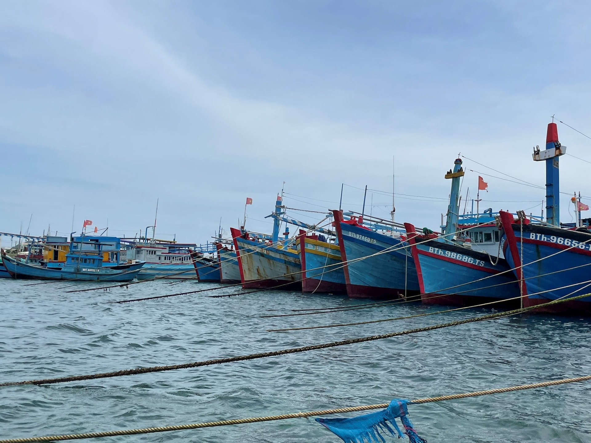
Accordingly, the People's Committee of Phu Quy Special Zone requested the Phu Quy Port Border Guard Station and related units to notify captains and owners of vehicles and boats operating at sea of the location, direction of movement and developments of the storm.
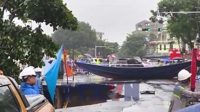
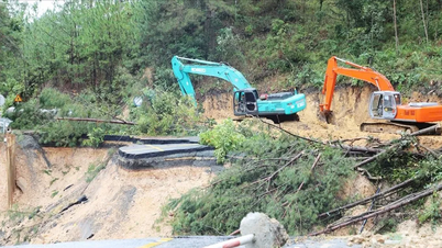
The People's Committee of Phu Quy Special Zone directed functional units to increase information, guide fishermen to proactively avoid and not move into storm-dangerous areas; at the same time, closely monitor the development of high tides and the risk of coastal erosion in the Long Hai area and coastal tourist destinations to be ready to evacuate people when necessary. Localities check boat anchorage areas, aquaculture areas, and construction works to ensure safety; armed forces prepare human resources and means for rescue.
In addition, local authorities also recommend that accommodation establishments and tourists on the island not swim and limit water activities during bad weather due to the impact of storm No. 12.
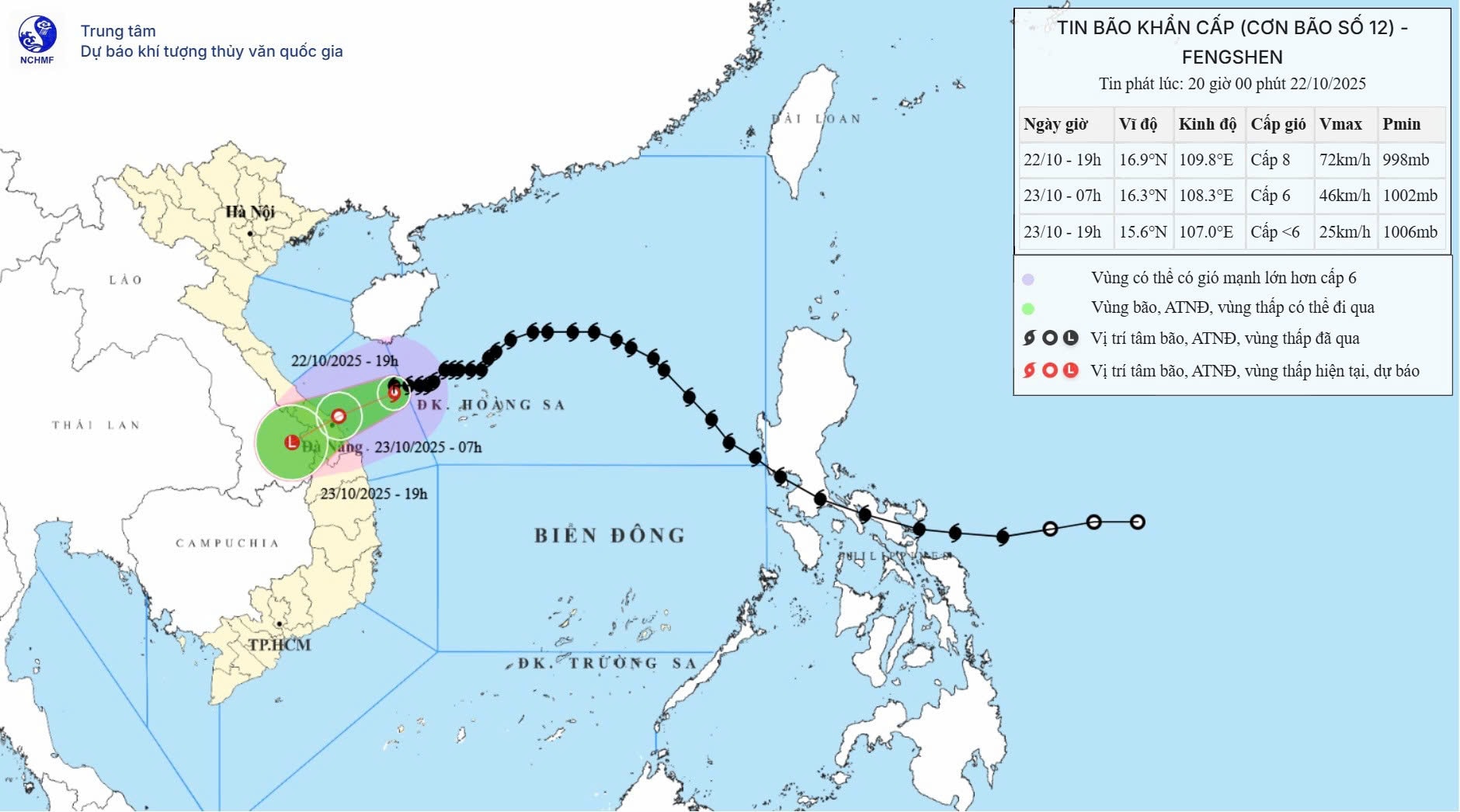
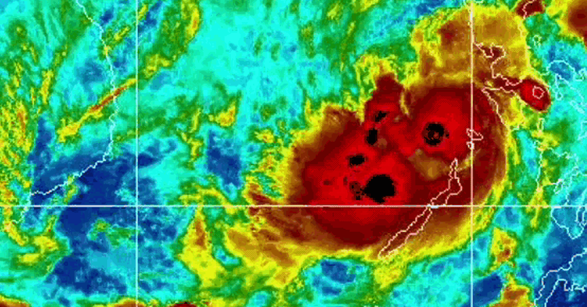
According to the National Center for Hydro-Meteorological Forecasting, in the evening (October 22 ), storm No. 12 continued to weaken. At At 7:00 p.m., the storm center was located at approximately 16.9 degrees North latitude; 109.8 degrees East longitude, on the sea from South Quang Tri to Quang Ngai, approximately 170km East Northeast of Da Nang City. The strongest wind near the storm center was level 8 (62-74km/h), gusting to level 10. Moving westward at a speed of approximately 10km/h.
Source: https://baolamdong.vn/phu-quy-chu-dong-ung-pho-dam-bao-an-toan-truoc-anh-huong-bao-so-12-397311.html


Comment (0)