
Specifically, Kim Ngan commune has 4 flooded points, temporarily making traffic impassable, such as: The road from the commune People's Committee to Con Cung dam is flooded about 1m deep; the road to An Bai village (An Bai underground) is flooded about 1m deep; underground 25 of National Highway 9B is flooded about 0.3 - 0.4m; underground 23 of National Highway 9B is flooded about 0.3 - 0.4m.
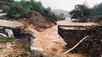
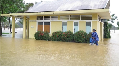
In Dakrong commune, there are 10 flooded points from 0.3 - 1m, temporarily making traffic impassable, including the overflow in Ly Thon village flooded more than 3.0m; the overflow bridge in Ra Lay village flooded 3.0m; the overflow bridge in Chan Ro village flooded 0.4m; the A Lo overflow bridge flooded 0.3-0.5m; the overflow bridge in Pa Ngay village flooded 0.3-0.5m; the commune People's Committee headquarters in Klu area flooded about 1.0m; at km1 of Ho Chi Minh road, West branch flooded 0.5-1m...
In addition, in La Lay commune, there are 2 flooded points from 0.4 - 0.60m, temporarily blocking traffic, including the A Ngo village overflow bridge and the A Rong village overflow bridge. In Ben Quan commune, there was also heavy rain, the overflowing culverts of provincial roads 571 and 586 were flooded about 0.5m, causing traffic disruption.
Currently, Kien Giang River in Le Thuy is 0.04m below alert level 2; Thach Han River in Dakrong is 2.47m above alert level 3; O Lau River in My Chanh is 0.40m above alert level 3; Hieu River in Dau Mau is 0.3m below alert level 3.
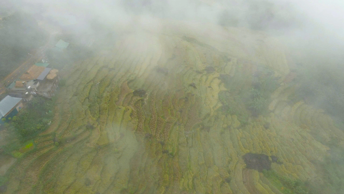
According to the forecast, from the morning of November 17 to November 19, in Quang Tri province, there will be moderate rain, heavy rain, and very heavy rain in some places. In particular, the northern area of Quang Tri province will generally have rainfall from 70-200mm, in some places over 220mm; the southern area of Quang Tri province will generally have rainfall from 120-250mm, in some places over 300mm.
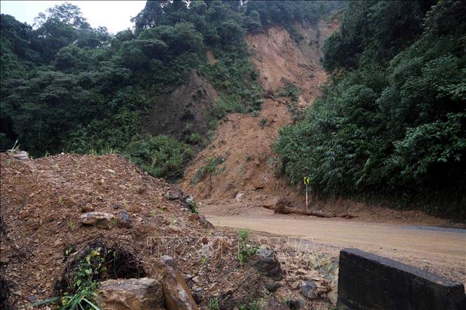
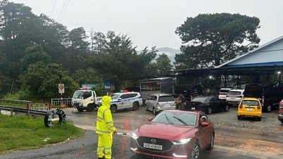
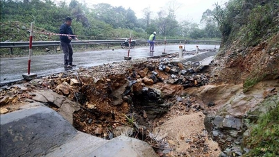
To respond to heavy rains causing floods and landslides, Quang Tri province directed units and localities to proactively deploy forces to guard and arrange barriers and warning signs at flooded and isolated underground and spillway locations, landslide risk points, dangerous areas, etc. to ensure safety for people and vehicles; at the same time, be ready to deploy plans to evacuate people from dangerous areas when situations arise.
Quang Tri province's border guards have deployed 14 teams with 39 comrades to coordinate with other forces to block flood points and guide people to ensure safety.
Source: https://baotintuc.vn/xa-hoi/quang-tri-nhieu-diem-ngap-lut-chia-cat-cuc-bo-do-mua-lon-20251117090723287.htm


Comment (0)