
According to Architect Tran Ngoc Chinh, former Deputy Minister of Construction - Chairman of the Vietnam Urban Planning and Development Association, the planning of Ho Chi Minh City for the period 2021 - 2030, with a vision to 2050, needs to take the Saigon River as the center, turning the Ho Chi Minh City - Cu Chi - Ba Den Mountain (Tay Ninh) axis along the Saigon River corridor into the "backbone" of economic development, tourism, regional connectivity and international connectivity.
Saigon River is the focus of Ho Chi Minh City planning
+ Reporter: When comparing with developed cities in the world with a "river-oriented, sea-oriented" structure similar to Ho Chi Minh City such as Han River (Seoul), Shanghai (China) or further away Paris (France), London (UK), there are opinions that the Saigon River has not been given due attention in Ho Chi Minh City's development strategy. What is your assessment of this opinion?

Architect Tran Ngoc Chinh: As we can see, the Seine River (Paris) is quite small, it does not meander through a large area like the Saigon River, while the Huangpu River in Shanghai and the Han River in Seoul do not have as beautiful a landscape as the Saigon River. Therefore, I think that Ho Chi Minh City needs to take the Saigon River as the center of economic and infrastructure development, especially tourism.
In addition to enhancing the landscape on both sides of the river, it is necessary to add more river tourism products, creating a chain of connections with neighboring regions and destinations such as towards Cu Chi to develop eco-tourism, historical tourism, or up to Ba Den Mountain (Tay Ninh) with cultural tourism... To serve this activity, it is necessary to plan many water wharves along the Saigon River.
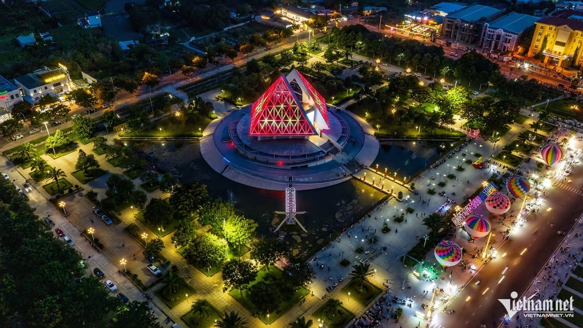
In addition to upgrading the waterway infrastructure, the Saigon River must also become a tourist river like Shanghai is doing with the Huangpu River, with high-end, unique tourism products day and night. Recently, the city has organized a festival on the river, I think the program should continue with a richer form, larger scale along the provinces that the Saigon River passes through. At the same time, it is necessary to develop a system of marinas, bustling centers on both sides of the river to develop the riverside economy of the whole region.
+ So, in your opinion, how should Ho Chi Minh City make a breakthrough in planning the Saigon River corridor to take advantage of the economic, tourism and ecological potential of this river?
. I have been studying the Saigon River for 40 - 50 years. The river flows from the Northwest through Tay Ninh province down to Cu Chi, Thanh Da... and then into the city. Like a silk strip in the middle of the city, the Saigon River opens up a wonderful urban development space for Ho Chi Minh City.
In particular, the width of the Saigon River is more moderate than the Red River (Hanoi). Meanwhile, the hydrological and geographical regime creates a smoother water surface than the Seine River in Paris (France). Therefore, the planning of Ho Chi Minh City cannot lack the Saigon River. This is a rare river of important significance.
And to create a breakthrough for the Saigon River development planning, it is necessary to create a large-scale tourism ecosystem, a place that gathers high-class cultural, sports and ecological spaces, aiming at the global level such as developing marinas, high-class festivals and developing urban areas along both sides of the river, forming a vibrant riverside corridor with docks and boats.
This is the river that I think all planning of Ho Chi Minh City must take the spatial axis of landscape and traffic along the river corridor as the focus.

Connecting from Ho Chi Minh City - Cu Chi - Ba Den Mountain to create a backbone development axis
+ Ho Chi Minh City is aiming to become a global city by 2045. To achieve this goal, many opinions say that Ho Chi Minh City needs to play a leading role in both economy and infrastructure, with the Saigon River corridor as the focus. Do you agree with this opinion?
. We are building the position of Ho Chi Minh City as a global city, so the study of planning Ho Chi Minh City to 2030 and vision to 2050 is extremely important. Ho Chi Minh City has up to 17 million people, aiming to be the leading destination in the continent, so transport infrastructure must play a key role in socio-economic development.
Previously, when talking about planning for Ho Chi Minh City, we only talked about the inner city, then the Saigon River and at most Cat Lai Port. But now, we must recognize Ho Chi Minh City as a city that "sticks to the river, looks to the sea" and as a river city, we must develop the seaport and waterway economy.
We already have international transit ports, but we need to develop a waterway transport system along the Saigon River corridor from Tay Ninh, through Cu Chi to Can Gio and a system of canals and ditches to form a transport network connecting Ho Chi Minh City, between Ho Chi Minh City and the Southwest and Southeast regions... This is a particularly important planning because Ho Chi Minh City's economy must be linked to transport, logistics, tourism...
+ As you just shared, there needs to be a waterway transport system along the Saigon River corridor through Cu Chi to Tay Ninh. So does this development axis need to invest systematically in a modern road and railway system to optimize regional connectivity, creating a driving force to promote development for a large economic and tourism region?
I think that developing waterway transport must go hand in hand with building a land transport system, depending on landscape conditions to closely coordinate and link together.
The planning of both sides of the Saigon River from Ho Chi Minh City through Cu Chi to Tay Ninh must be roads with a scale of 4-10 lanes. Going abroad, we see that urban areas pay great attention to traffic, their traffic is not 2 lanes but 4-10 lanes. Therefore, the planning of the boulevard must take into account meeting the high demand in the future.
The development direction of Ho Chi Minh City - Tay Ninh needs attention because this development axis is not only a cultural - tourism axis but also combines economic exploitation with Moc Bai border gate. In the long term, when the central land fund of Ho Chi Minh City runs out, the city will also need to expand satellite cities to Tay Ninh.
For Ho Chi Minh City, in addition to connecting with Tay Ninh and Moc Bai international border gate, it is necessary to continue to develop to the whole Tay Ninh city area, Ba Den Mountain and to Hoa Lu border gate, Xa Mat border gate. I think that the Ho Chi Minh City axis through Cu Chi - Trang Bang - Hoa Thanh - Tay Ninh - Xa Mat is a very important international axis connecting Ho Chi Minh City and Tay Ninh.
This development axis also passes through Ba Den Mountain - the roof of the Southeast region. Ho Chi Minh City residents and tourists to Ho Chi Minh City also love to go to Ba Den Mountain because it is a famous spiritual destination, also a place with a pleasant climate and beautiful natural landscape. If this economic axis is implemented, it will solve the problems of transportation, logistics and population organization, forming an inter-regional tourism ecosystem chain, creating conditions for Tay Ninh to develop.
Therefore, this axis is not only an international economic chain link, but also needs to be a tourism "backbone" axis for Ho Chi Minh City. When developing a high-class tourism infrastructure axis, modern traffic infrastructure including waterways, roads, and parallel railways connecting Ho Chi Minh City - Cu Chi - Ba Den Mountain (Tay Ninh), it will create a vibrant "on the wharf, under the boat" space for the Saigon River corridor as major cities in the world have successfully done.
Harmonizing interests to attract large investors
+ To realize the key economic and tourism axis with the modern transportation and tourism infrastructure system as above, what many people are interested in is capital. So does Ho Chi Minh City need to mobilize social resources to reach ambitious development goals?
. To develop, we must combine state capital, socialized capital, including FDI capital, and land fund capital. Land fund capital is state capital, so to develop Ho Chi Minh City, I think it is difficult but not difficult. Because if the state wants to develop, it must invest in infrastructure, the state must reserve land fund to invest in development.
I think that for Ho Chi Minh City, the direction of social investment is not difficult. Ho Chi Minh City is a vibrant market, so it is very attractive in the eyes of local businesses as well as corporations from the North.
Recently, Ho Chi Minh City has also approved special policies to attract investment. The problem is that Ho Chi Minh City must resolutely implement them, harmonize the interests of the State and Enterprises to attract large investors to develop together, and optimize experience and resources from socialization.
Thank you!
Source PLO
Source: https://baotayninh.vn/quy-hoach-hanh-lang-song-sai-gon-den-tay-ninh-se-tao-dot-pha-cho-tp-hcm-a178127.html
![[Photo] Prime Minister Pham Minh Chinh starts construction of vital highway through Thai Binh and Nam Dinh](https://vphoto.vietnam.vn/thumb/1200x675/vietnam/resource/IMAGE/2025/5/12/52d98584ccea4c8dbf7c7f7484433af5)
![[Photo] Prime Minister Pham Minh Chinh receives Swedish Minister of International Development Cooperation and Foreign Trade](https://vphoto.vietnam.vn/thumb/1200x675/vietnam/resource/IMAGE/2025/5/12/ae50d0bb57584fd1bbe1cd77d9ad6d97)
![[Photo] Prime Minister Pham Minh Chinh works with the Standing Committee of Thai Binh Provincial Party Committee](https://vphoto.vietnam.vn/thumb/1200x675/vietnam/resource/IMAGE/2025/5/12/f514ab990c544e05a446f77bba59c7d1)


Comment (0)