
 |
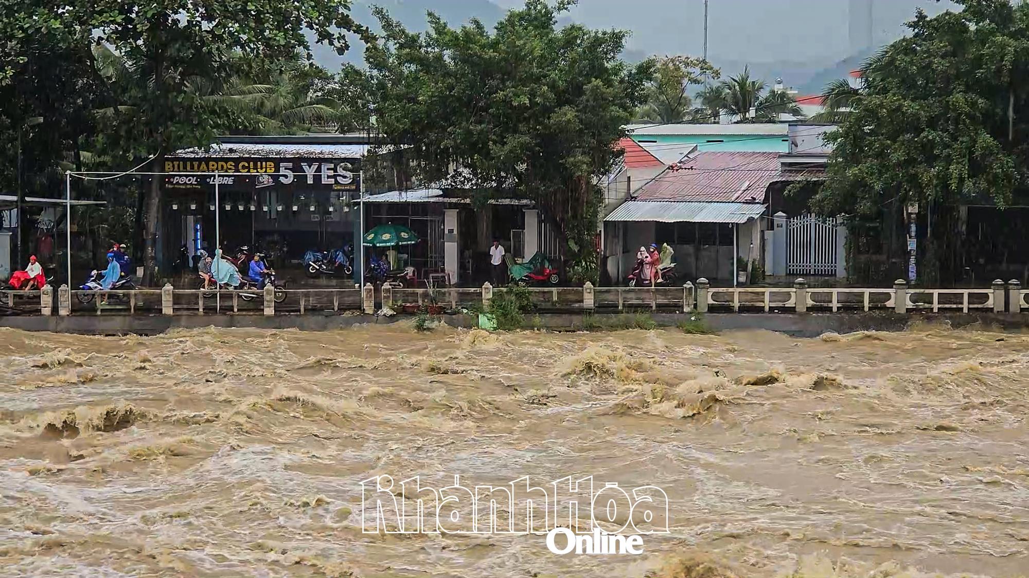
| Water level on Cai River Nha Trang may exceed alert level 3. |
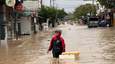
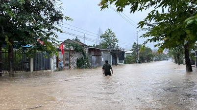
In the past 12 hours, the flood water level on Cai Nha Trang River has risen rapidly. The water level at 8:00 a.m. on November 17 at Dong Trang Hydrological Station was 9.71m, 0.21m above alarm level 2; at Dien Phu Station it was 5.6m, 0.1m above alarm level 3.
On Cai Phan Rang River, flood water levels are rising rapidly. At 8:00 a.m. on November 17, the water level at Tan My Hydrological Station was 38.27 m, 0.77 m above alarm level 3; at Phan Rang Station it was 3.21 m, 0.29 m above alarm level 1.
It is forecasted that in the next 24 hours, the flood on Cai Nha Trang river will continue to rise and peak in the next 7-12 hours, the flood peak at Dong Trang hydrological station will be approximately level 3, at Dien Phu station will be 0.5-1m above level 3. Other rivers and streams in the province are likely to experience floods at level 2-3, some rivers will be above level 3. On Cai Phan Rang river, the flood will continue to rise and peak in the next 1-7 hours, the flood peak at Tan My hydrological station will be 0.5-1.0m above level 3, at Phan Rang hydrological station will be approximately level 3. Other rivers and streams in the province are likely to experience floods at level 3.
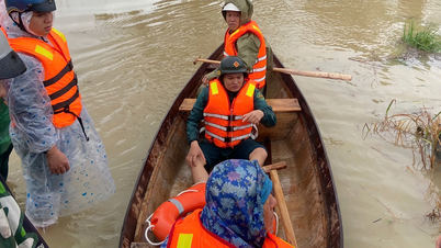
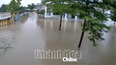
Specialized agencies warn: Beware of the risk of flash floods and landslides that may occur in mountainous areas; heavy rains and floods affecting the safety of reservoirs; flooding in downstream areas, along rivers, and urban areas in downstream areas of rivers. Pay attention to safety when traveling through spillways. Floods can have negative impacts on the environment, threaten people's lives; cause local traffic congestion, and affect the movement of vehicles.
H.D
Source: https://baokhanhhoa.vn/xa-hoi/202511/tin-lu-khan-cap-tren-song-cai-nha-trang-va-song-cai-phan-rang-5fa7093/


Comment (0)