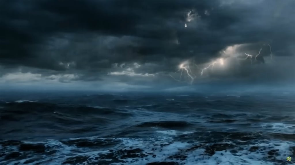
The National Center for Hydro-Meteorological Forecasting said that at 4:00 a.m. this morning (September 16), the low pressure area was located at about 12.5 to 13.5 degrees North latitude; 115.5 to 116.5 degrees East longitude, in the central area of the East Sea.
In the next 24 hours, the low pressure area will move in the West Northwest direction, about 15km per hour and is likely to strengthen into a tropical depression.
Warning: Due to the influence of the low pressure circulation, which may later strengthen into a tropical depression, there will be showers and thunderstorms in the central part of the East Sea, with winds gradually increasing to level 5, sometimes level 6, gusting to level 8. Waves 2-3m high, rough seas. Ships operating in the area need to take precautions and ensure safety.
Today, the North will still have localized heavy rain in the morning, then sunny weather above 34 degrees. In the Central and South, many places will have thunderstorms in the late afternoon, locally heavy rain.
Source: https://quangngaitv.vn/xuat-hien-vung-ap-thap-moi-tren-bien-dong-6507327.html


![[Photo] Prime Minister Pham Minh Chinh inspects and directs the work of overcoming the consequences of floods after the storm in Thai Nguyen](https://vphoto.vietnam.vn/thumb/1200x675/vietnam/resource/IMAGE/2025/10/08/1759930075451_dsc-9441-jpg.webp)
![[Photo] Prime Minister Pham Minh Chinh attends the World Congress of the International Federation of Freight Forwarders and Transport Associations - FIATA](https://vphoto.vietnam.vn/thumb/1200x675/vietnam/resource/IMAGE/2025/10/08/1759936077106_dsc-0434-jpg.webp)




![[Photo] Closing of the 13th Conference of the 13th Party Central Committee](https://vphoto.vietnam.vn/thumb/1200x675/vietnam/resource/IMAGE/2025/10/08/1759893763535_ndo_br_a3-bnd-2504-jpg.webp)








Comment (0)