
Specifically, the storm center is located at about 19.9 degrees North latitude; 118.3 degrees East longitude, about 860km east of Leizhou peninsula (China).
Strongest wind level 17 (202-221km/h), gusts above level 17.
Forecast in the next 3 hours, the storm moves in the West Northwest direction, speed about 20km/h.
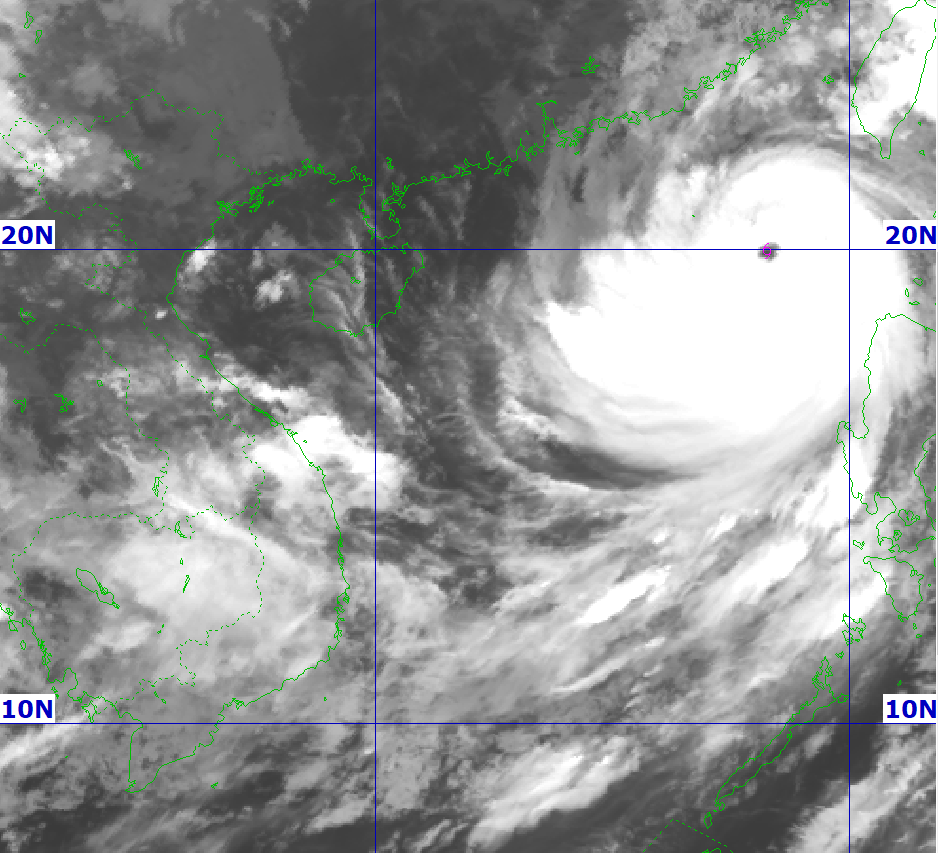
At sea: The northern sea area of the North East Sea has strong winds of level 8-9, then increasing to level 10-14, the area near the center of the super storm has winds of level 15-17, gusts above level 17, waves over 10.0m high; rough seas.
From September 24, the eastern sea of Bac Bo Gulf (including Bach Long Vy island district) will have winds gradually increasing to level 6-7, gusting to level 9. From the evening and night of September 24, the Bac Bo Gulf area (including Bach Long Vy special zone, Van Don, Co To, Cat Hai and Hon Dau island) will have winds gradually increasing to level 8-9, waves 2.0-4.0m high, the area near the storm center will have winds of level 10-12, gusting to level 14, waves 4.0-6.0m high; the sea will be very rough.
Storm surge in coastal areas:
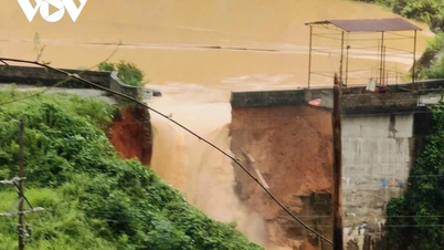
The coastal areas of Quang Ninh- Hai Phong provinces have storm surges of 0.5-1.0m high. There is a high risk of landslides on sea dykes and embankments, destruction of aquaculture areas, ships and boats anchored along the coast due to strong winds, rising sea levels and big waves.
.jpg)
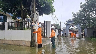
On land, from early morning on September 25, coastal areas from Quang Ninh to Thanh Hoa will have winds gradually increasing to level 6-7, then increasing to level 8, areas near the storm center will have winds of level 9-10, gusting to level 12; areas deep inland in the Northeast will have strong winds of level 6-7, gusting to level 8-9.
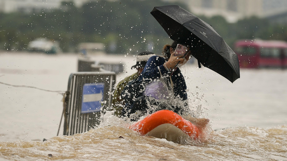
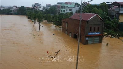
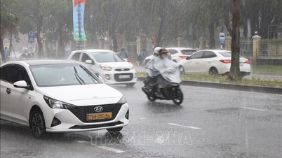
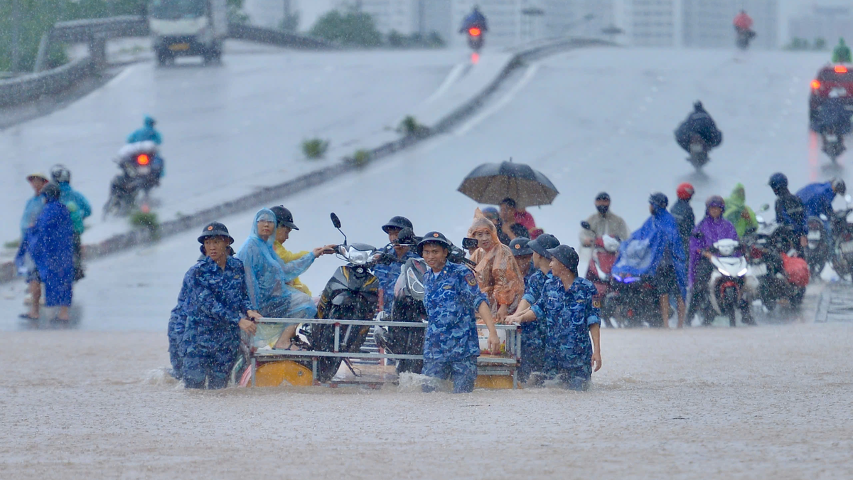
From the night of September 24 to September 26, in the Northern region, Thanh Hoa and Nghe An, there will be heavy to very heavy rain with common rainfall of 100-250mm, locally over 400mm. Beware of heavy rain causing urban flooding.
Heavy rains can cause flooding in low-lying areas; flash floods in small rivers and streams, and landslides on steep slopes.
Source: https://baonghean.vn/bao-so-9-giat-cap-17-dang-tien-vao-bien-dong-tu-gan-sang-25-9-vung-ven-bien-tu-quang-ninh-den-thanh-hoa-co-gio-manh-dan-len-cap-6-7-10306943.html

![[Photo] Prime Minister Pham Minh Chinh chairs the 16th meeting of the National Steering Committee on combating illegal fishing.](https://vphoto.vietnam.vn/thumb/1200x675/vietnam/resource/IMAGE/2025/10/07/1759848378556_dsc-9253-jpg.webp)


![[Photo] Super harvest moon shines brightly on Mid-Autumn Festival night around the world](https://vphoto.vietnam.vn/thumb/1200x675/vietnam/resource/IMAGE/2025/10/07/1759816565798_1759814567021-jpg.webp)


Comment (0)