
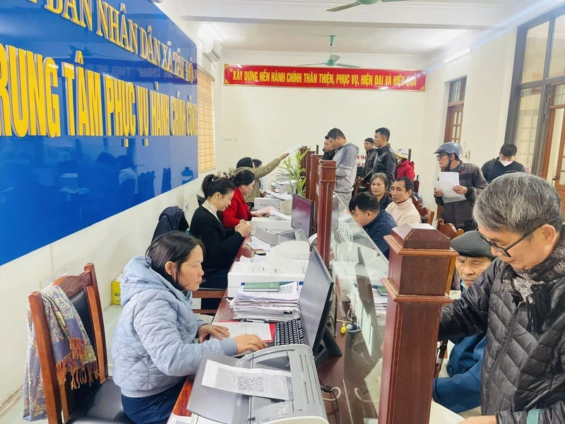
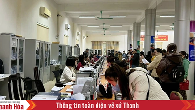
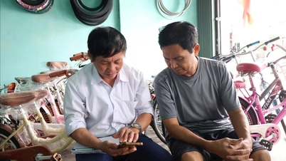
Tay Do Commune Administrative Service Center resolves administrative procedures quickly and conveniently for citizens.
After the administrative unit merger, land management in Tay Do commune faced many challenges such as incomplete land data, many land use right certificates were not digitized; land user information in some records did not match population data; cadastral maps measured from 2001-2002 were outdated, many land use right certificate (LURC) records had not been entered into the national land database system. In many plots of land, the land user had changed but the documents still bore the old name, the information had not been updated. Some households had blurred or torn LURCs but did not know the procedures to reissue them, causing difficulties in searching or transacting. Notably, there were many cases where the land user information did not match the population database: incorrect date of birth, incorrect CCCD number, name changed according to household registration adjustment but the certificate was not updated...
Faced with that reality, the People's Committee of Tay Do commune issued a series of directive documents, established a steering committee and implementation teams, assigned specific tasks to each member; at the same time, widely informed the people to coordinate in providing documents. Working groups went to each household to collect certificates, CCCD, compared user information with population data, created forms according to regulations and transferred them to the Vinh Loc Land Registration Office Branch to classify errors, make technical adjustments and update the system. In the absence of specialized digital equipment, commune officials flexibly used smartphone applications such as Office Lens, CamScanner to scan and store documents, ensuring complete and clear data for data entry. During the implementation process, Tay Do commune and Vinh Loc Land Registration Office Branch closely coordinated, the commune was responsible for collecting, checking, and standardizing information, the land registration office compared maps, classified errors, and updated changes into the land data system. Thanks to that, the campaign progress was maintained stably, gradually removing arising difficulties, minimizing discrepancies between paper records, field records, and digital data.
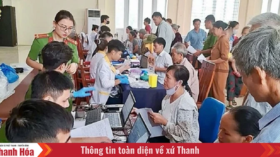
In Quan Nhan village, the commune working group visited each household to check land user information, compare it with population data, and guide people to provide copies of necessary documents. Many people appreciated the sense of responsibility and dedication of the commune officials.
Ms. Nguyen Thi Hoa expressed: "I am old and do not know how to use a smartphone. When the commune started to check land records, I was very worried. But the commune officials came to my house, helped take pictures of documents, checked the information for me, and it only took a few minutes. I felt very secure and satisfied."
Vice Chairman of Tay Do Commune People's Committee Ha Van Luong said: "The locality's consistent viewpoint is to be public, transparent, and minimize procedures for the people. When people have difficulties, officials will go to the place to support and resolve them so that no one misses data. The highest goal is to ensure the rights of the people. Although the campaign is still in the implementation phase, the initial results can be clearly seen: land data is gradually standardized and more transparent; people's records are compared and fully updated, serving the convenience of management and administrative procedure settlement."
According to the commune leaders, when the campaign is completed, Tay Do will "roll call" the entire land situation in the area, thereby managing more effectively, contributing to limiting disputes, loss of resources, and preventing negativity in granting land use right certificates. The commune aims to continue to perfect the clean, complete, and continuously updated land database; increase the rate of digitization of records; promote the application of land management software; synchronize connection with the provincial and national data systems; and move towards resolving land procedures online at a high level. Enriching and cleaning the land database is not only a technical task but also an important step in local governance, towards building a modern governance system that serves people better and better - in the spirit of "taking people as the center". “Clean - alive - digital” land data will help prevent resource loss, limit disputes, prevent violations, and create a transparent information environment to attract investment.
For Tay Do commune, this is a fundamental step to build an effective and transparent government that serves the people better and better.
Article and photos: To Ha
Source: https://baothanhhoa.vn/huong-toi-quan-ly-hien-dai-minh-bach-va-phuc-vu-nguoi-dan-269628.htm


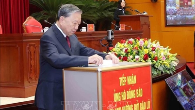
![[Photo] General Secretary To Lam attends the National Conference to review the Party's inspection, supervision and discipline enforcement work in 2025 and the 13th Congress term](/_next/image?url=https%3A%2F%2Fvphoto.vietnam.vn%2Fthumb%2F1200x675%2Fvietnam%2Fresource%2FIMAGE%2F2025%2F11%2F24%2F1763964292857_ndo_br_01-jpg.webp&w=3840&q=75)
![[Photo] Next to the "mountain of trash" after the flood, Tuy Hoa residents strive to rebuild their lives](/_next/image?url=https%3A%2F%2Fvphoto.vietnam.vn%2Fthumb%2F1200x675%2Fvietnam%2Fresource%2FIMAGE%2F2025%2F11%2F24%2F1763951389752_image-1-jpg.webp&w=3840&q=75)


Comment (0)