
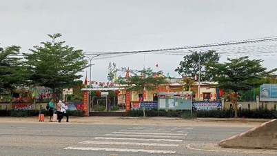
On May 16, the People's Committee of Da Nang City announced that it had just approved the Western Ecological Zoning Plan, notably planning the Hai Van Pass area with many urban and eco -tourism spaces.
According to the project to adjust the general planning of Da Nang City to 2030, with a vision to 2045 approved by the Government, Da Nang City has 12 sub-zones. Of which, the western ecological sub-zone includes the entire northern and western mountainous area of the city from Bach Ma Hai Van mountain range (Hoa Hiep Bac Ward, Lien Chieu District) through the communes of Hoa Bac, Hoa Lien, Hoa Ninh, Hoa Phu to Hoa Khuong (Hoa Vang District), with a total area of about 57,692 hectares.

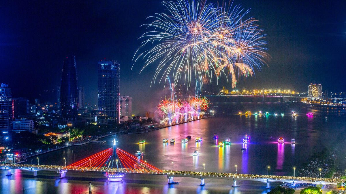
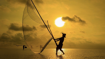
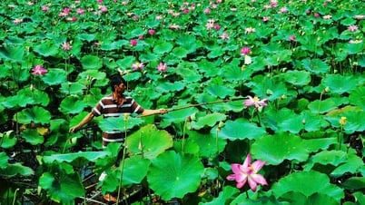
Hai Van Pass area
NGUYEN TU
The focus of the western ecological subdivision is the tourist area of Hoa Hiep Bac Ward, with an area of 3,819 hectares, with the main function of being a tourist city, harmonizing the goals of promoting economic , cultural, social development and protecting the natural environment in urban conditions.
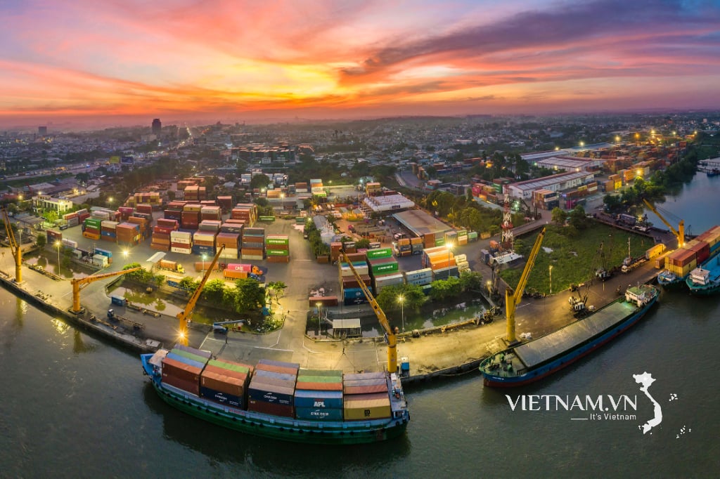
This is also the basis and premise for completing major projects, key and dynamic works such as Lien Chieu port, Van village, Hai Van pass area projects, contributing to making Da Nang city one of the key national tourist centers, on par with the region and the world.
Specifically, the project orients the Van village tourism and resort complex into an urban area developed on a natural landscape environment, taking green space as the core, connecting residential, public, commercial, service and entertainment spaces for people.
Developing eco-tourism combined with low-density accommodation associated with nature conservation, developing discovery and adventure tourism associated with natural conditions, developing commercial service areas and supporting industries associated with Lien Chieu port area.
The project space is harmoniously connected with the natural landscape of mountains, forests and seas of the Hai Van Pass area, facing the East Sea, focusing on public spaces; the main highlight is the Lang Van tourist and resort complex and the Hai Van Pass route.
Currently, the Hai Van pass route with the Hai Van Quan national relic is a stopover that attracts many tourists, a gateway on the Central heritage road, along with a stream system such as Luong stream, Go Coc stream flowing into Cu De river and Da Nang bay.
Along the bay and Hai Van pass, there are also sand and rock beaches such as Ma Da, Sung Co, Sam, Xung beaches...
Therefore, the forestry land area (3 types of forest) is planned to remain in its current state, emphasizing the conservation and preservation of forest land combined with sustainable development. Particularly, the production forest area belonging to forestry land can consider allowing activities that have little impact on the ecological environment such as experiential tours, eco-tourism, etc.
The western ecological zoning plan also determines urban development in the current residential area, low-lying agricultural land with small slopes (along Luong stream); arranging eco-tourism combined with accommodation and resorts in the southeast area with medium-sloping hills. The high-slope area arranges eco-tourism areas (mainly in the north, west of Nam Hai Van bypass).
Source: https://thanhnien.vn/quy-hoach-deo-hai-van-thanh-khong-gian-do-thi-du-lich-sinh-thai-57692-ha-185240516104154406.htm


![[Photo] Prime Minister Pham Minh Chinh chairs the national online conference on combating smuggling, production and trade of counterfeit goods.](https://vphoto.vietnam.vn/thumb/1200x675/vietnam/resource/IMAGE/2025/6/23/4a682a11bb5c47d5ba84d8c5037df029)
![[Photo] Prime Minister Pham Minh Chinh holds meeting to launch exhibition of national achievements to celebrate 80th National Day](https://vphoto.vietnam.vn/thumb/1200x675/vietnam/resource/IMAGE/2025/6/23/0c0c37481bc64a9ab31b887dcff81e40)


![[Photo] Party Congress of the Central Internal Affairs Commission for the 2025-2030 term](https://vphoto.vietnam.vn/thumb/1200x675/vietnam/resource/IMAGE/2025/6/23/5bf03821e6dd461d9ba2fd0c9a08037b)


Comment (0)