

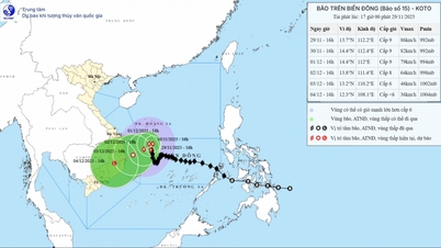
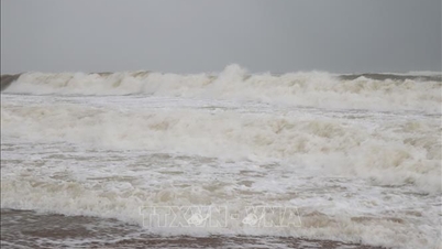
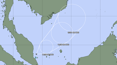
Due to the influence of low pressure circulation, it is forecasted that around August 27-28, the North and Central East Sea will have increasingly stronger winds. (Illustration photo: Hoang Dong)
At 1:00 p.m. on August 26, the low pressure position was at about 15.5-16.5 degrees North latitude, 123.5-124.5 degrees East longitude.
It is forecasted that in the next 24-36 hours, this low pressure area will move in the West-Northwest direction at a speed of 15-20km/h, entering the eastern sea area of the North East Sea and is likely to strengthen into a tropical depression.
Due to the influence of the low pressure circulation (which may later strengthen into a tropical depression), between August 27 and 28, the North and Central East Sea (including the Hoang Sa special zone) will have increasingly strong winds and bad weather. Ships operating in the above areas need to proactively avoid and ensure safety.
NM
Source: https://baothanhhoa.vn/sau-bao-so-5-xuat-hien-vung-ap-thap-moi-gan-bien-dong-259628.htm

![[Photo] Prime Minister Pham Minh Chinh receives President of Cuba's Latin American News Agency](/_next/image?url=https%3A%2F%2Fvphoto.vietnam.vn%2Fthumb%2F1200x675%2Fvietnam%2Fresource%2FIMAGE%2F2025%2F12%2F01%2F1764569497815_dsc-2890-jpg.webp&w=3840&q=75)


Comment (0)