
Latest news on storm number 3
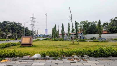
At 7:00 p.m. on September 3, the center of the storm was at about 18.7 degrees North latitude; 118.5 degrees East longitude, in the eastern sea area of the North East Sea. The strongest wind near the center of the storm was level 10 (89-102 km/h), gusting to level 12, moving in the West Northwest direction, about 10 km/h.

Update on the location and path of storm No. 3. Photo: NCHMF
Vietnam's meteorological agency forecasts that in the next 72 hours, the maximum intensity of storm No. 3 could be as strong as level 14, gusting to level 17.
Forecast of storm No. 3 in the next 24 to 72 hours
From the next 72 to 120 hours, the storm will move mainly in the West Northwest direction, traveling 10-15km per hour, with little change in intensity, then gradually decreasing.
On the impact of storm number 3:
At sea: The eastern sea of the North East Sea has strong winds of level 8-9, the area near the eye of the storm has winds of level 10-11, gusts of level 13; the sea is very rough. From September 5-6, storm No. 3 can reach very strong storm level in the northern sea of the North East Sea, strong winds can reach level 14, gusts of level 17 near the eye of the storm.
Rising water, big waves: In the next 24 hours, the sea area east of the North East Sea will have waves 2.0-4.0m high, near the storm center 3.0-5.0m. From September 5-6, they may gradually increase to 7.0-9.0m. The sea will be rough. Vessels operating in the above-mentioned dangerous areas are likely to be affected by strong winds and big waves.
Source: https://danviet.vn/hot-tin-bao-moi-nhat-bao-so-3-lien-tuc-tang-cap-khi-nao-dat-cuc-dai-2024090320274907.htm


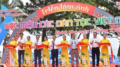
![[Photo] Panorama of the 2025 Community Action Awards Final Round](https://vphoto.vietnam.vn/thumb/1200x675/vietnam/resource/IMAGE/2025/11/15/1763206932975_chi-7868-jpg.webp)
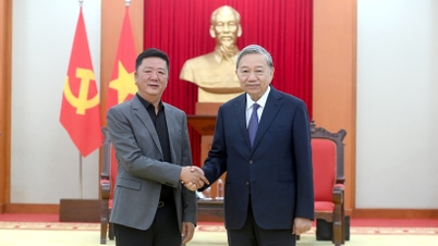
![[Photo] General Secretary To Lam receives Vice President of Luxshare-ICT Group (China)](https://vphoto.vietnam.vn/thumb/1200x675/vietnam/resource/IMAGE/2025/11/15/1763211137119_a1-bnd-7809-8939-jpg.webp)

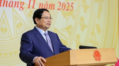
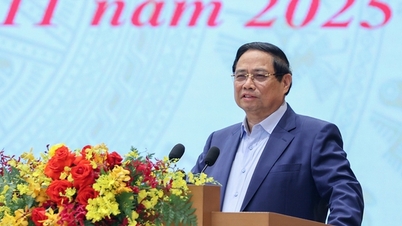
![[Photo] Prime Minister Pham Minh Chinh meets with representatives of outstanding teachers](https://vphoto.vietnam.vn/thumb/1200x675/vietnam/resource/IMAGE/2025/11/15/1763215934276_dsc-0578-jpg.webp)


Comment (0)