

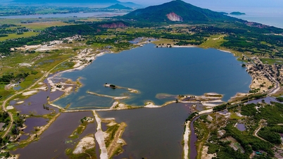
Climate change-induced erosion has completely transformed the Vam Lung estuary area. Kilometers of coastal protective forest have completely disappeared due to natural disasters. Sea waves continue to devastate the coastline, destroying large areas of previously productive forest, putting pressure on residential areas and infrastructure. The Vam Lung estuary, now a "crow's mouth," is widening and receding further inland.
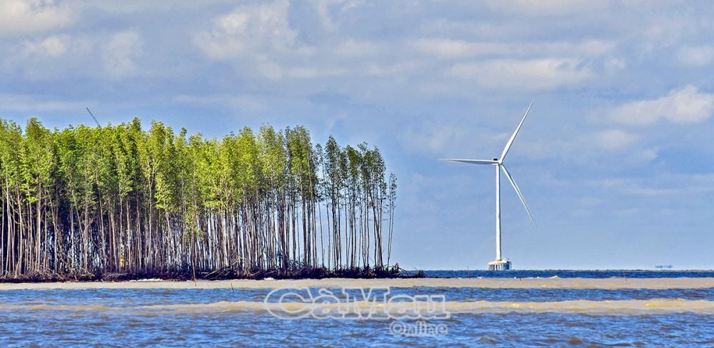
The patches of forest on both sides of the Vam Lung estuary have become fragile and weak, barely able to withstand the destructive power of natural disasters.
The Vam Lung estuary area, specifically the section from Kien Vang to Ong Ta, is a particularly dangerous landslide zone spanning 6,400 meters. This includes a 3,300-meter section from Kien Vang to Vam Lung; a 1,700-meter section from Vam Lung towards Rach Goc; and a 1,400-meter section from the Rach Goc estuary to Ong Ta, requiring a total investment of over 377 billion VND.
However, despite the provincial People's Committee declaring a natural disaster emergency regarding coastal erosion in this area since August 2023, the Vam Lung estuary still lacks investment to construct a breakwater to reduce pressure on the coastline.

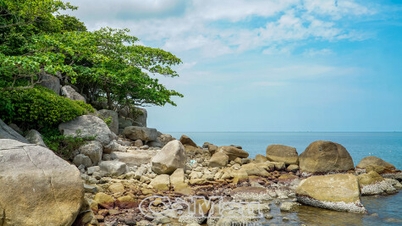
When the forest disappears, what was once a coastline becomes a barren, desolate promontory.
Mr. Nguyen Thanh Tung, Head of the Provincial Irrigation Department, said: "Under the impact of climate change, rising sea levels are causing many sections of the protective mangrove forest belt to thin out, and in some places, erosion has encroached further inland. Especially during the rainy season, rising sea levels combined with strong waves and winds have created particularly dangerous erosion, affecting an area approximately 6,400 meters long."
"Landslides are increasing, averaging about 20-40 meters per year. At the current rate of erosion, if not addressed promptly, it poses a threat to residential areas, schools, government offices, the power system, people's production, and other infrastructure," Mr. Nguyen Thanh Tung stated, highlighting the current situation.
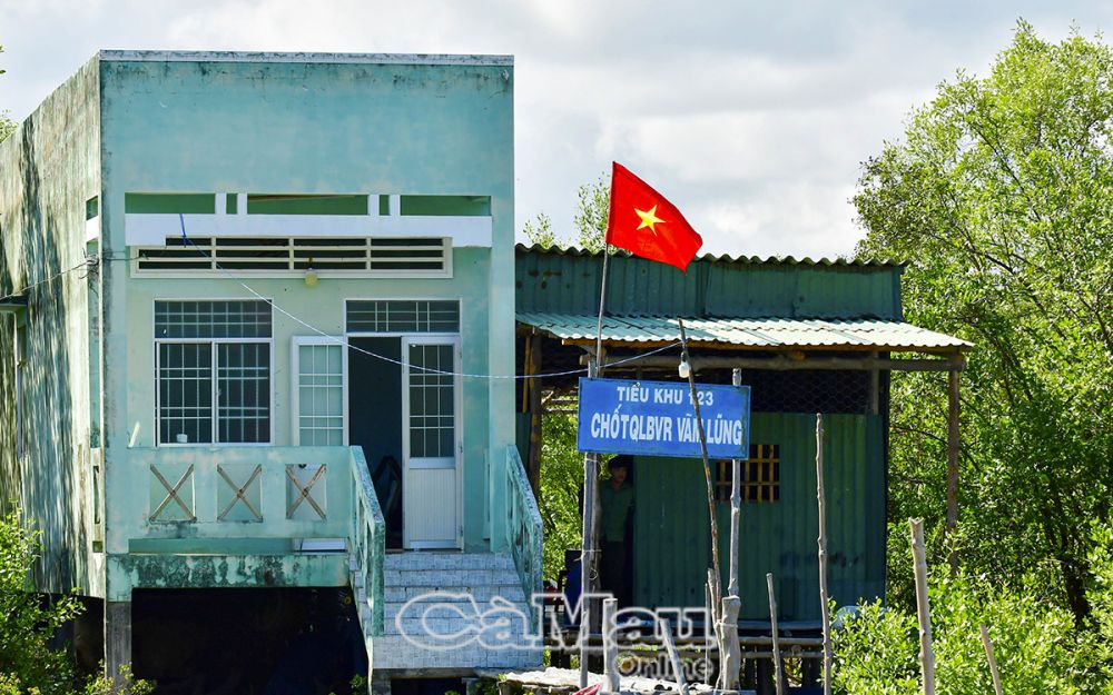
The Vam Lung Forest Protection Management Post is located not far from the Vam Lung estuary.
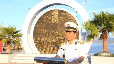
Infrastructure development at Vam Lung estuary is not simply about disaster response and land and forest protection, but also about protecting the Vam Lung Wharf National Special Monument – the starting point of the legendary Ho Chi Minh Trail on the sea, which changed the course of the battlefield and played a crucial role in the liberation of the South and the reunification of the country in 1975.
Tran Nguyen performed
Source: https://baocamau.vn/cua-vam-lung-dang-lui-dan-a38944.html

































































Comment (0)