
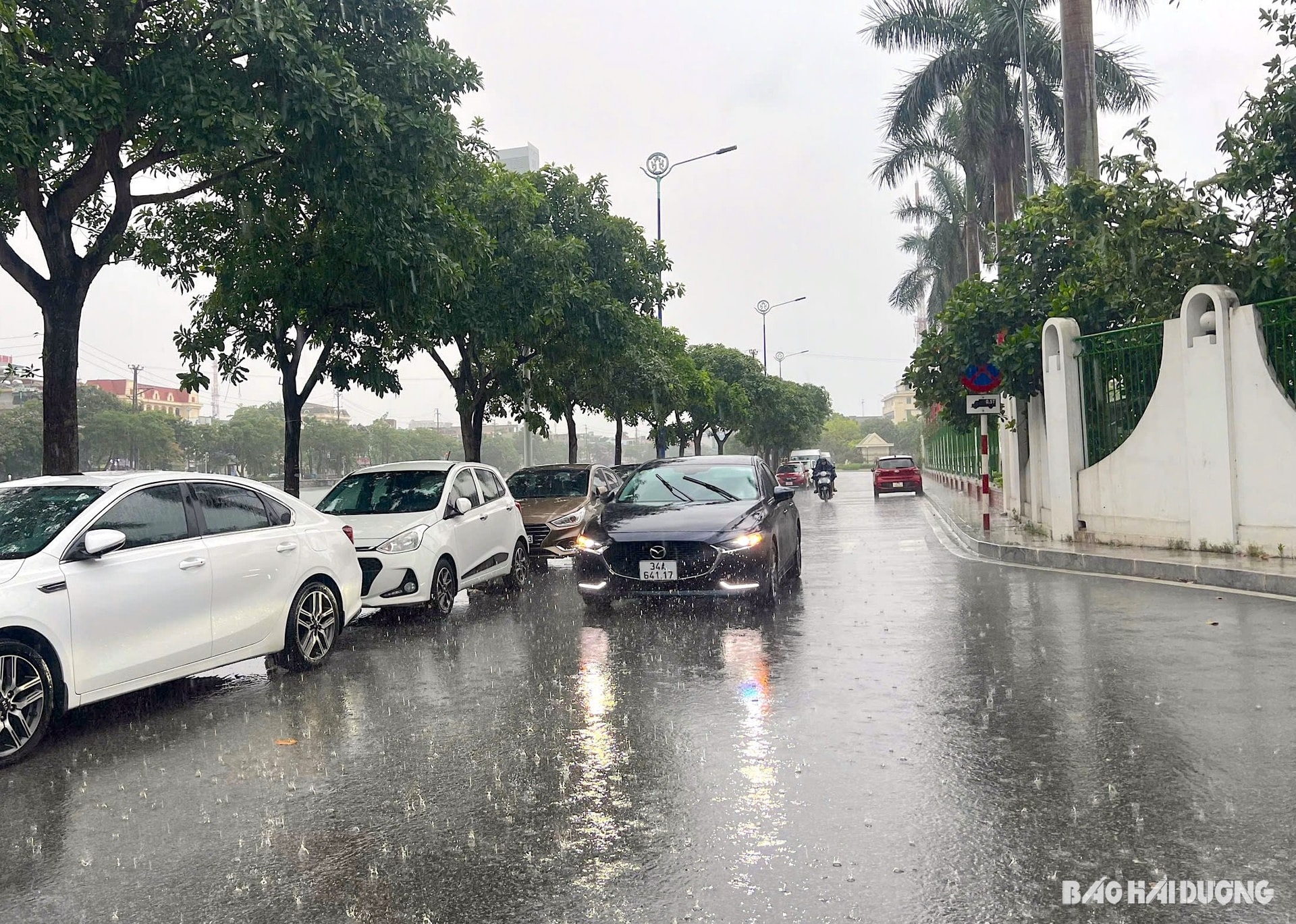
On the evening of June 8, many areas in Hai Duong experienced moderate to heavy rain accompanied by thunderstorms, lightning, and southeast winds of level 2-3. The cause of the rain was due to a low pressure trough being compressed across the North combined with wind convergence at an altitude of 3,000 m.
The provincial Hydrometeorological Station forecasts that the above weather pattern is likely to last until June 10. Areas in Hai Duong will also experience scattered showers and thunderstorms, with some places experiencing heavy rain, concentrated in the late afternoon and at night. During thunderstorms, there is a high possibility of tornadoes, lightning, hail and strong gusts of wind.
From June 9 to 10, rainfall in the province is expected to be around 10 - 30 mm, with some places over 30 mm. Due to the rain, Hai Duong will be relatively cool in the next 2 days, with the highest temperature during the day ranging from 30 - 31 degrees Celsius.
Experts warn that during rainy days accompanied by thunderstorms, lightning, and hail, trees can be broken, houses, traffic works, and infrastructure can be damaged. Rain and showers reduce visibility when participating in traffic and outdoor activities.
From June 11 to 18, sunshine is forecast to return to areas in the province when the southern edge of the trough with an axis of 25 - 27 degrees north latitude connects with the low pressure area in the west, with the highest temperature of 35 degrees Celsius. During these days, there is still a possibility of showers and thunderstorms in some places in the evening.
GOING STRONGSource: https://baohaiduong.vn/hai-duong-mua-keo-dai-den-het-10-6-413541.html


Comment (0)