
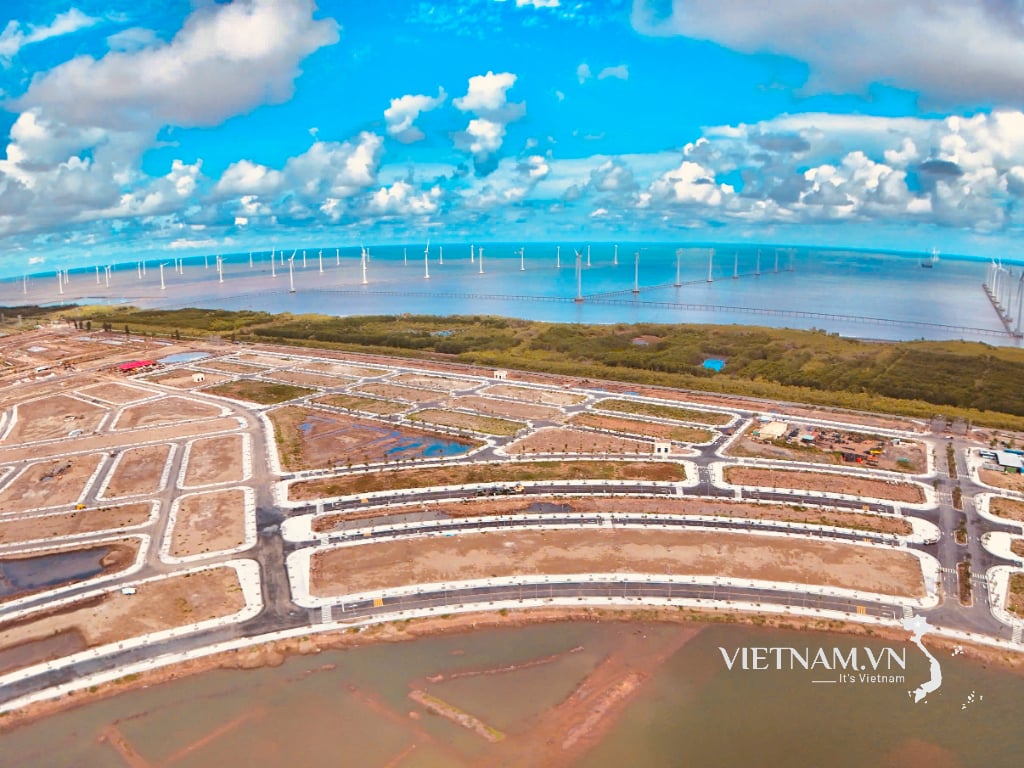
(HG) - The Provincial People's Committee has just approved the Master Plan for Vinh Vien urban area, Long My district, Hau Giang province until 2040. The master plan for Vinh Vien urban area covers an area of 4,062.8 hectares, including the entire natural area of Vinh Vien town. Specifically, the North borders Vi Thuy district and Vi Thanh city; the South borders Luong Tam commune and Xa Phien commune, Long My district; the East borders Vinh Thuan Dong commune and Thuan Hung commune, Long My district; the West borders Vinh Vien A commune, Long My district.
This is a type V urban area under the province; it is a district-level center for economics , finance, culture, education, training, tourism, health, science and technology, a district-level administrative center, a traffic hub, playing a role in promoting the socio-economic development of the district and the southern economic region of Hau Giang province. It has an important position in terms of national defense and security. The population by 2030 is about 13,000 people; by 2040 about 18,000 people. By 2030, the urban construction land is about 260 hectares and by 2040 about 400 hectares.
Regarding the orientation of urban space development, it will consider reasonably expanding the construction space of urban functional areas into vacant land with advantages in traffic connection and convenient connection with Vinh Vien urban center (administrative, cultural, sports center, etc.) to become a new urban development area that is concentrated, synchronous, modern with its own characteristics. Planning urban traffic routes connecting urban functions (tourism development area, residential area, specialized commercial service area, etc.) with the external traffic system, especially the inter-regional traffic system to facilitate economic exchange and development. Consider adjusting the land use functions of some areas to suit the development orientation of Long My district, adjusting the orientation of space development and technical infrastructure of the approved general planning to effectively promote urban land funds. Developing new residential areas, increasing residential land funds, green parks, and squares for the city. Supplementing land fund for construction of works that create momentum for urban development such as commercial, tourism and industrial service works. Renovating, completing and upgrading urban technical infrastructure systems, rural residential areas gradually completing the criteria for type V urban areas, creating connections with new construction areas including traffic networks, technical pipelines, technical infrastructure hubs...
HT
Source


![[Photo] Prime Minister Pham Minh Chinh receives leaders of several Swedish corporations](https://vphoto.vietnam.vn/thumb/1200x675/vietnam/resource/IMAGE/2025/6/14/4437981cf1264434a949b4772f9432b6)


Comment (0)