

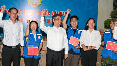
The rescue map is the name given by many people to the web app platform cuutro.jci.vn. This is a product developed by JCI Vietnam with the goal of gathering all emergency information and resources in one place. This platform is expected to become a breakthrough solution for timely relief distribution, to the right people, at the right time, and avoiding duplicate distribution points.
Specifically, this community platform aims to quickly and transparently connect people, households, schools in need of relief and sponsors/supporting units that can support money, goods, human resources, and suppliers that post essential goods for sale at special support prices, and the coordination board, volunteer team, and volunteers update - monitor - support distribution.
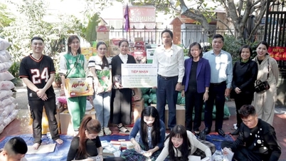
As of 12:00 on November 24, the platform has received 1,300 requests for help, 74 requests for assistance, 449 cases of relief and transparency about 99 support points. With simple operations and clear forms, the platform is a useful tool to help people who need to receive or give meet each other, thereby spreading hope and connecting the flow of humanity in the most smooth, timely and effective way.

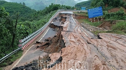
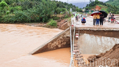
Similarly, the thongtincuuho.org map receives on average more than 3,000 reports per day from people in flooded areas in Khanh Hoa, Dak Lak , and Gia Lai provinces. Since November 20, the information system has been connected to the Vietnam Fatherland Front. Information reported by people will be transferred directly to the grassroots forces for timely support.
The thongtincuuho.org platform is the product of three engineers Tu Tat Huan, Dang Long and Nguyen Thi Mai Anh. From the initial goal of building a digital map reflecting the flooding and congestion situation in Hanoi, in early October, when heavy rains caused serious flooding in Thai Nguyen, Bac Giang , Lang Son and Cao Bang, the group decided to change direction to serve emergency rescue work.
According to the platform representative, the system is capable of operating automatically when applying artificial intelligence to continuously collect posts and comments from social networks, analyze the location and level of influence, then standardize the data to put on the map. Thanks to this data stream, rescue units can quickly identify priority areas - places where there are dense calls for help - and detect areas without feedback for timely inspection.
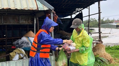
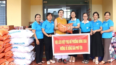
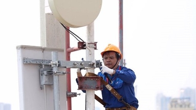
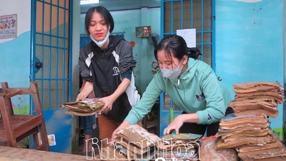
Along with the efforts of the Party, State and local authorities, businesses have also joined in supporting flood victims in the Central region in recent days. VinaPhone network said that in recent days, the unit has mobilized all technical forces to ensure the network operates continuously 24/7 in harsh weather conditions in the Central region directly affected by floods. VinaPhone engineers have been on duty at the scene to quickly handle transmission problems, increase coverage in areas with high communication demand or deep flooding, and supplement power sources and backup equipment for broadcasting stations in the event of widespread power outages.

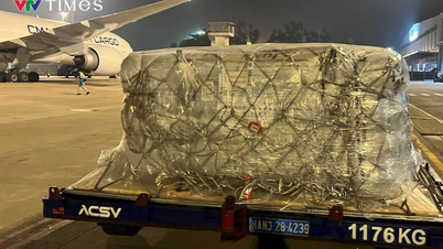
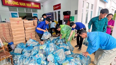
Viettel Post said that up to now, this unit has carried out more than 30 Drone (unmanned aircraft) relief flights in Dien Dien commune (Khanh Hoa) with a total transported weight of over 600kg.
Source: https://daidoanket.vn/ung-dung-cong-nghe-de-ho-tro-nguoi-dan-vung-lu.html
![[Photo] National Assembly Chairman Tran Thanh Man receives a business delegation from the Europe-ASEAN Business Council](/_next/image?url=https%3A%2F%2Fvphoto.vietnam.vn%2Fthumb%2F1200x675%2Fvietnam%2Fresource%2FIMAGE%2F2025%2F11%2F24%2F1763989198212_ndo_br_bnd-7394-jpg.webp&w=3840&q=75)

![[Photo] Prime Minister Pham Minh Chinh attends the patriotic emulation congress of the banking sector](/_next/image?url=https%3A%2F%2Fvphoto.vietnam.vn%2Fthumb%2F1200x675%2Fvietnam%2Fresource%2FIMAGE%2F2025%2F11%2F24%2F1763981997729_tt-nhnn-jpg.webp&w=3840&q=75)


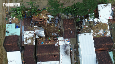
![[Photo] Next to the "mountain of trash" after the flood, Tuy Hoa residents strive to rebuild their lives](/_next/image?url=https%3A%2F%2Fvphoto.vietnam.vn%2Fthumb%2F1200x675%2Fvietnam%2Fresource%2FIMAGE%2F2025%2F11%2F24%2F1763951389752_image-1-jpg.webp&w=3840&q=75)


Comment (0)