
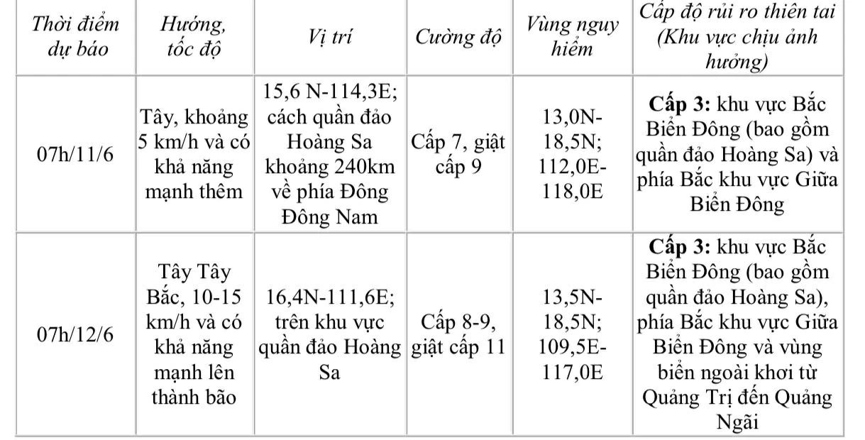
The strongest wind near the center of the tropical depression is level 6 (39-49km/h), gusting to level 8; moving slowly to the West at a speed of about 5km/h.
 |
| Dong Nai Hydrometeorological Station forecasts the development of tropical depression in the next 24 to 48 hours. |
The low pressure is forecast to strengthen into storm No. 1 around June 12 in the Hoang Sa area. After strengthening into storm No. 1, the storm may change direction to move northwest, towards China's Hainan Island.
Due to the influence of the tropical depression, the North East Sea (including the waters of the Hoang Sa archipelago), the North of the central East Sea will have thunderstorms and strong winds of level 6-7, gusts of level 9, waves 2-4m high, rough seas. Ships operating in the above-mentioned dangerous areas are likely to be affected by thunderstorms, whirlwinds, strong winds, and large waves.
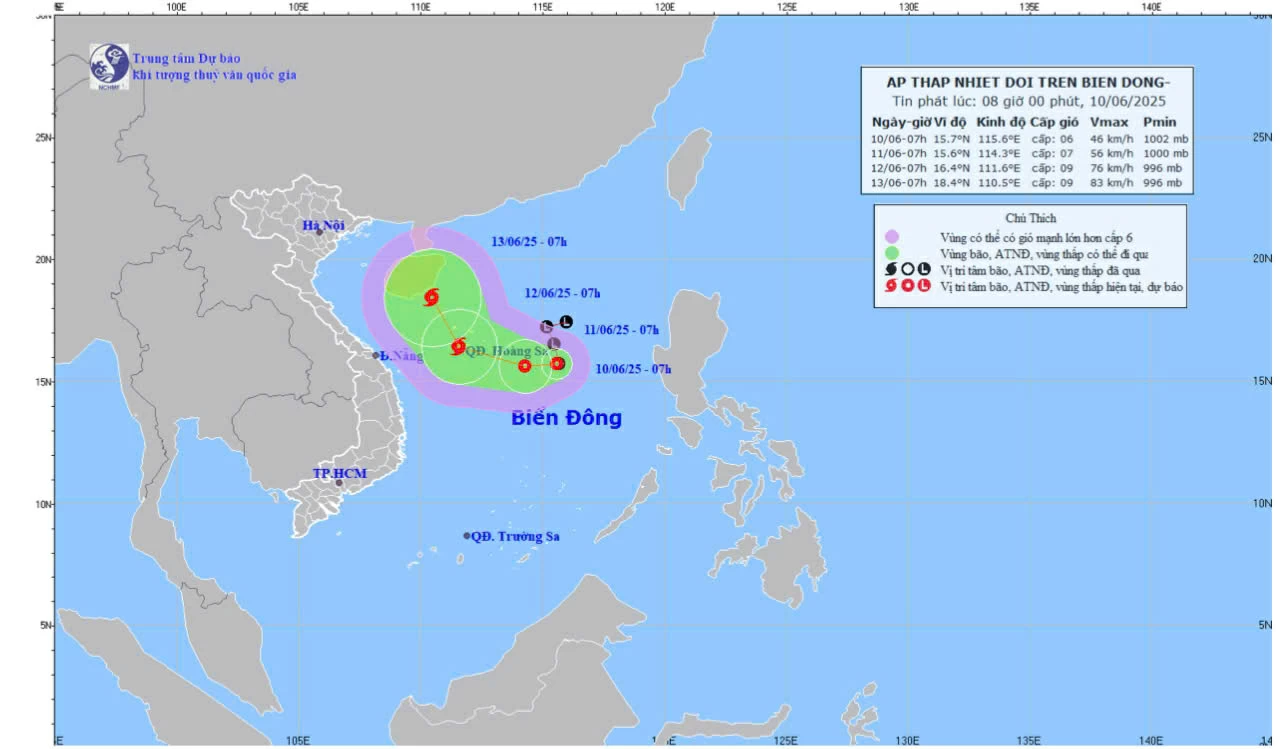 |
| Map of forecast trajectory and intensity of tropical depression. |
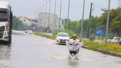
In Dong Nai, the weather in the province is cloudy, with widespread rain, moderate rain and thunderstorms in many places, and locally heavy to very heavy rain. During thunderstorms, be on guard against tornadoes, lightning, hail and strong gusts of wind.
Kim Lieu
Source: https://baodongnai.com.vn/xa-hoi/202506/ap-thap-nhiet-doi-tren-bien-dong-co-the-manh-len-thanh-bao-c89034d/


Comment (0)