
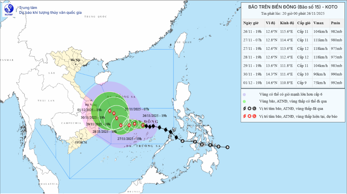
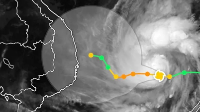
According to the forecast of the National Center for Hydro-Meteorological Forecasting, at 7:00 p.m. on November 26, the center of the storm was at about 12.6 degrees North latitude; 115.6 degrees East longitude, about 200km northeast of Song Tu Tay Island. The strongest wind near the center of the storm was level 10 - 11 (89-117km/h) (at 1:00 p.m. level 9), gusting to level 14. The storm moved in a West-Northwest direction at a speed of 15 - 20km/h.
Forecast until 7:00 p.m. on November 27, the storm is in the middle of the East Sea, about 140km northwest of Song Tu Tay Island. The storm moves in the West Northwest direction, then West Southwest at a speed of about 10km/h. The storm is likely to strengthen and reach level 12, gusting to level 15. The affected area is the middle of the East Sea (including the sea area north of Truong Sa special zone), the disaster risk level is level 3.
As of 7:00 p.m. on November 28, the storm was in the western sea area of the Central East Sea. The storm moved westward at a speed of about 5 km/h with a level 12 intensity, gusting to level 15. The affected area was the western sea area of the Central East Sea (including the northwest sea area of Truong Sa special zone), with a natural disaster risk level of level 3.
At 7:00 p.m. on November 29, the storm was in the western sea area of the Central East Sea. The storm moved in the North-Northwest direction, at a speed of about 5km/h, with a level 10-11 intensity, gusting to level 14. The affected area was the western sea area of the Central East Sea, with a natural disaster risk level of level 3.
From the next 72 to 120 hours, the storm moved slowly in the Northwest direction, then changed to the West Northwest direction, at a speed of 3-5 km/h and gradually weakened.
Due to the impact of the storm, the Central East Sea area (including the sea area north of Truong Sa special zone) has strong winds of level 7 - 9; the area near the storm's eye has strong winds of level 10 - 12, gusting to level 15; waves 4 - 6m high, the area near the storm's eye 7 - 9m; the sea is very rough.
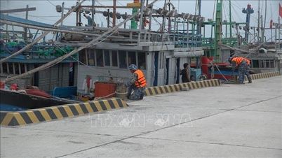
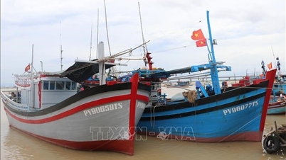
Vessels operating in the above mentioned dangerous areas are susceptible to the impact of storms, whirlwinds, strong winds and large waves.
Source: https://baotintuc.vn/xa-hoi/bao-so-15-manh-them-giu-nguyen-huong-di-chuyen-20251126204843742.htm


![[Photo] Close-up of heavy damage at the school located on the banks of the Ban Thach River](/_next/image?url=https%3A%2F%2Fvphoto.vietnam.vn%2Fthumb%2F1200x675%2Fvietnam%2Fresource%2FIMAGE%2F2025%2F11%2F26%2F1764152130492_ndo_bl_img-8188-8805-jpg.webp&w=3840&q=75)


![[Photo] Opening of the 28th Session of the Hanoi People's Council](https://vphoto.vietnam.vn/thumb/402x226/vietnam/resource/IMAGE/2025/11/26/1764155991133_image.jpeg)


Comment (0)