
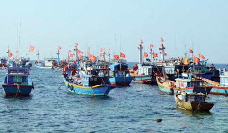
According to the bulletin of the National Center for Hydro-Meteorological Forecasting, on the day and night of July 11, in the Central and Southern East Sea (including the waters of the Truong Sa archipelago), the waters from Binh Thuan to Ca Mau, Ca Mau to Kien Giang and the Gulf of Thailand, there will be showers and strong thunderstorms; during thunderstorms, there is a possibility of tornadoes and strong gusts of wind of level 7-8.
On the night of July 11-12, the sea area from Khanh Hoa to Ca Mau , the sea area south of the central East Sea area, the southern East Sea area (including the sea area of Truong Sa archipelago) will have strong southwest winds of level 6, sometimes level 7, gusting to level 8-9.
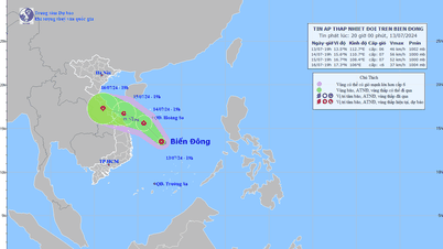
Around July 12-13, there is a possibility of a tropical convergence zone forming in the central East Sea, and tropical disturbances causing bad weather may form on this tropical convergence zone.
To proactively respond to bad weather in the East Sea, on the afternoon of July 11, the Ministry of Agriculture and Rural Development issued a document requesting provinces and cities from Quang Binh to Kien Giang to prepare for strong winds, big waves, thunderstorms and bad weather.
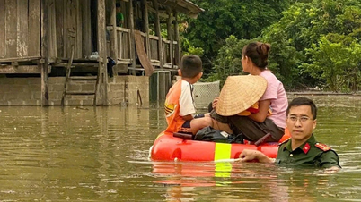
The key task in the coming hours is to closely monitor warning bulletins, forecasts of strong winds, big waves, thunderstorms and bad weather at sea; notify captains and owners of vehicles and vessels operating at sea to proactively prevent and have appropriate production plans, ensuring safety of people and property.
At the same time, localities maintain communication to promptly handle bad situations that may occur. At the same time, forces and means are ready to deploy rescue work when situations arise.
Source: https://kinhtedothi.vn/canh-bao-thoi-tiet-xau-huong-tau-thuyen-tren-bien-dong.html

![[Photo] Prime Minister Pham Minh Chinh and South African President Matamela Cyril Ramaphosa attend the business forum](https://vphoto.vietnam.vn/thumb/1200x675/vietnam/resource/IMAGE/2025/10/24/1761302295638_dsc-0409-jpg.webp)

![[Photo] Solemn funeral of former Vice Chairman of the Council of Ministers Tran Phuong](https://vphoto.vietnam.vn/thumb/1200x675/vietnam/resource/IMAGE/2025/10/24/1761295093441_tang-le-tran-phuong-1998-4576-jpg.webp)
![[Photo] Prime Minister Pham Minh Chinh chairs conference on breakthrough solutions for social housing development](https://vphoto.vietnam.vn/thumb/1200x675/vietnam/resource/IMAGE/2025/10/24/1761294193033_dsc-0146-7834-jpg.webp)
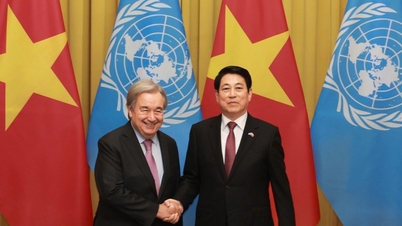
![[Photo] President Luong Cuong chaired the welcoming ceremony and held talks with United Nations Secretary-General Antonio Guterres](https://vphoto.vietnam.vn/thumb/1200x675/vietnam/resource/IMAGE/2025/10/24/1761304699186_ndo_br_1-jpg.webp)


Comment (0)